Uphill
207m
Length
11km
Duration
3h30min
Elev gain
207m
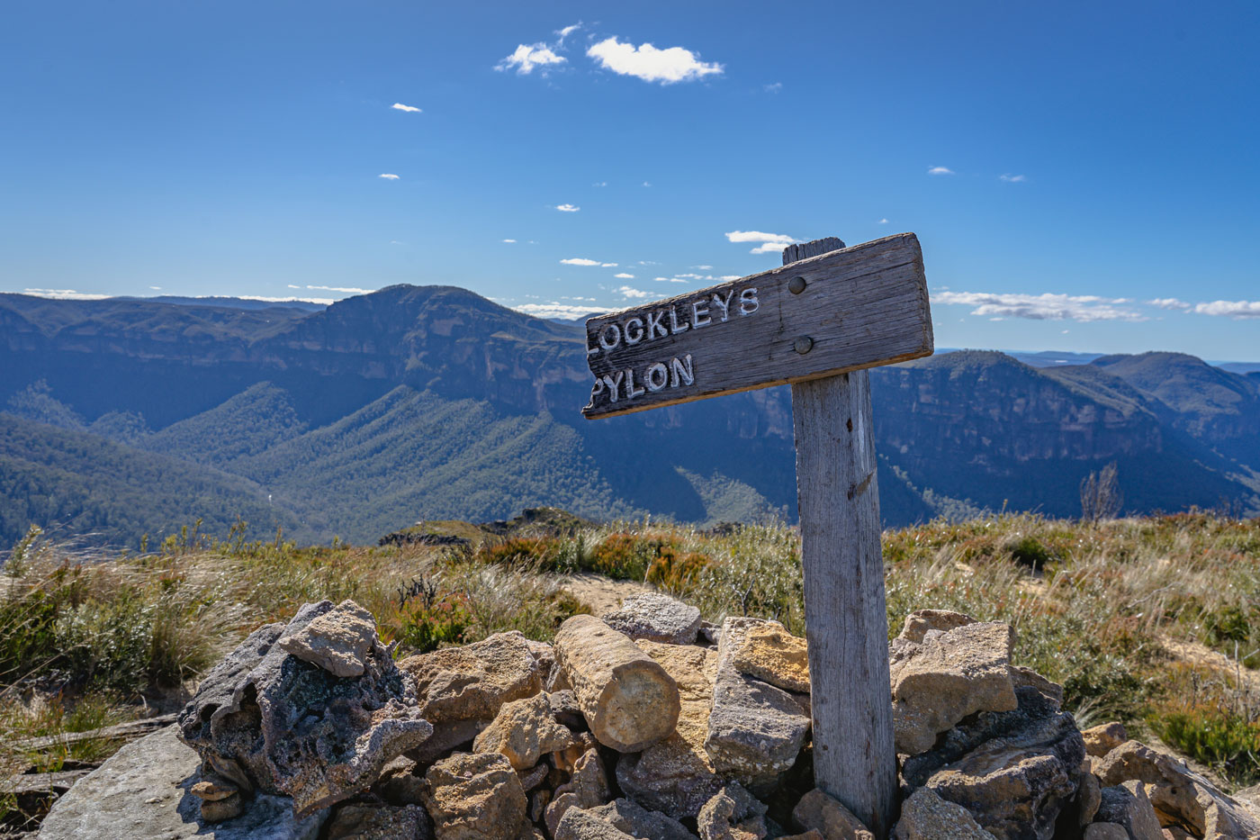
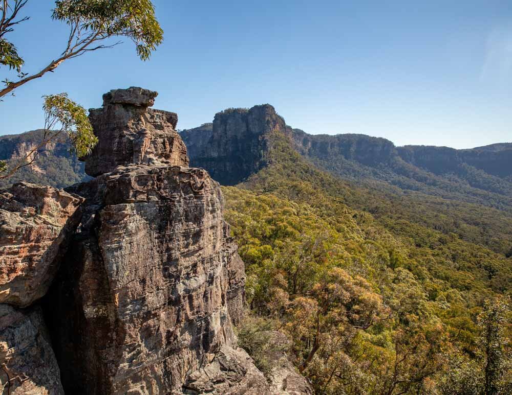
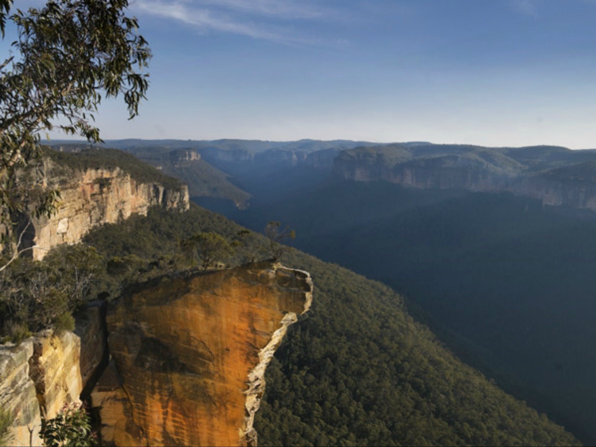
North of Blackheath in the Blue Mountains National Park, this is a there-and-back trail leading to the iconic Burramoko Ridge, also known as Hanging Rock, and the Baltzer Lookout.
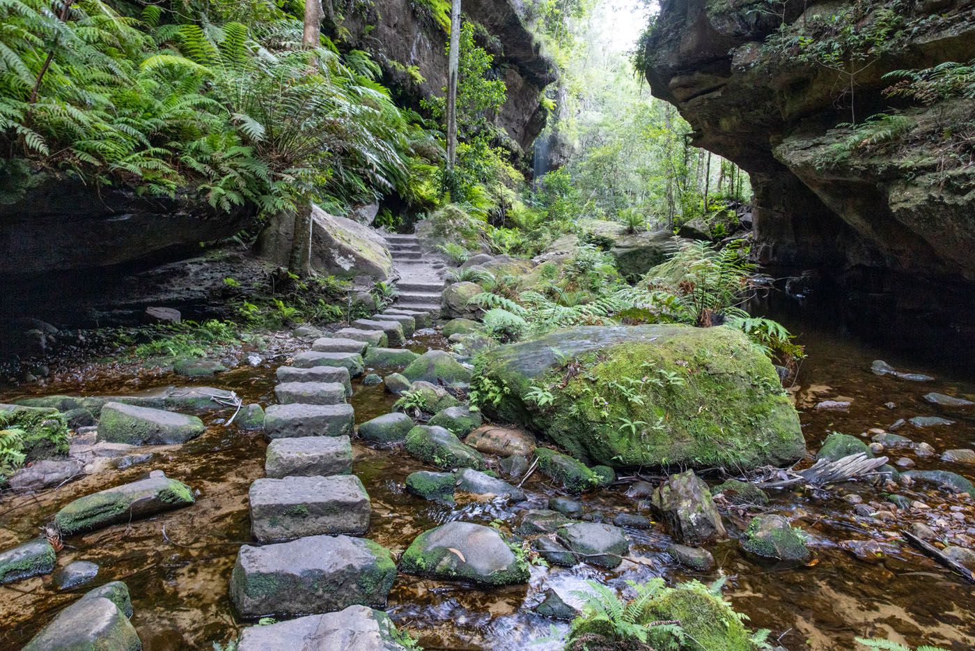
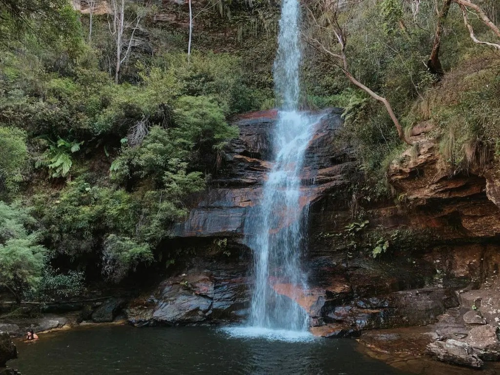
The trail is moderate as it’s a wide trail that is relatively flat. The views on Hanging Rock and the adjacent cliffs from the lookout are particularly impressive and the vibrant flora adds to the beauty of the place. There is a dirt trail leading to Hanging Rock; hikers should proceed with particular care if they do.

Already more than 200,000 users!
Uphill
207m
Highest point
1077m
Downhill
207m
Lowest point
924m
Route type
There and back
Download the map on your smartphone to save battery and rest assured to always keep access to the route, even without signal.
Includes IGN France and Swisstopo.
I indicate whether dogs are allowed or prohibited on this trail
All year
0 ratings
Also enjoy:

Already more than 200,000 users!