Uphill
296m
Length
6km
Duration
2h30min
Elev gain
296m
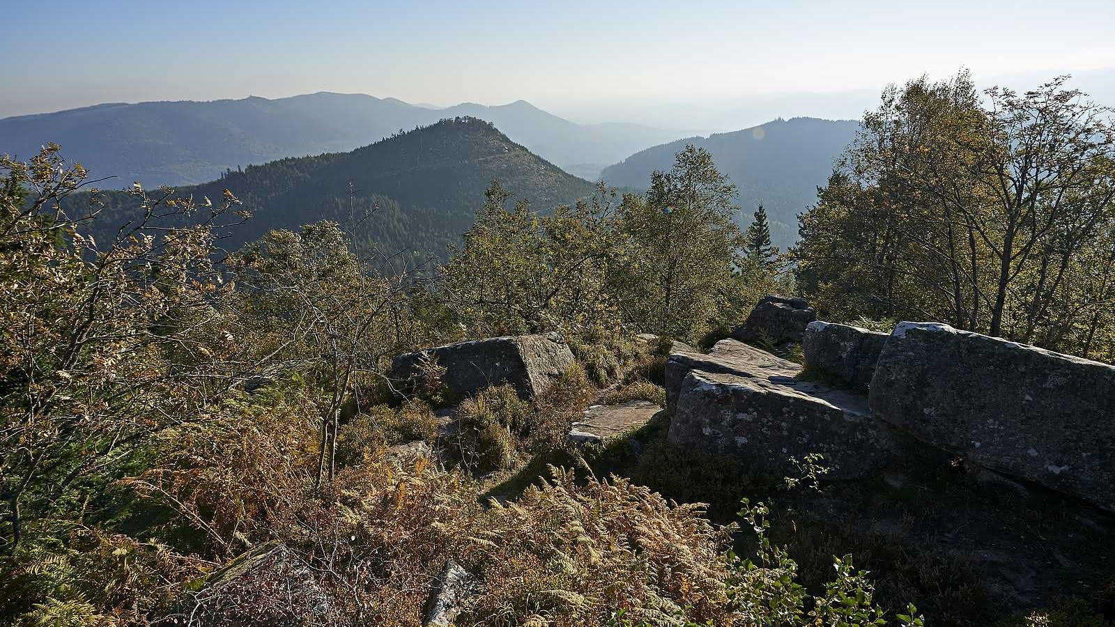
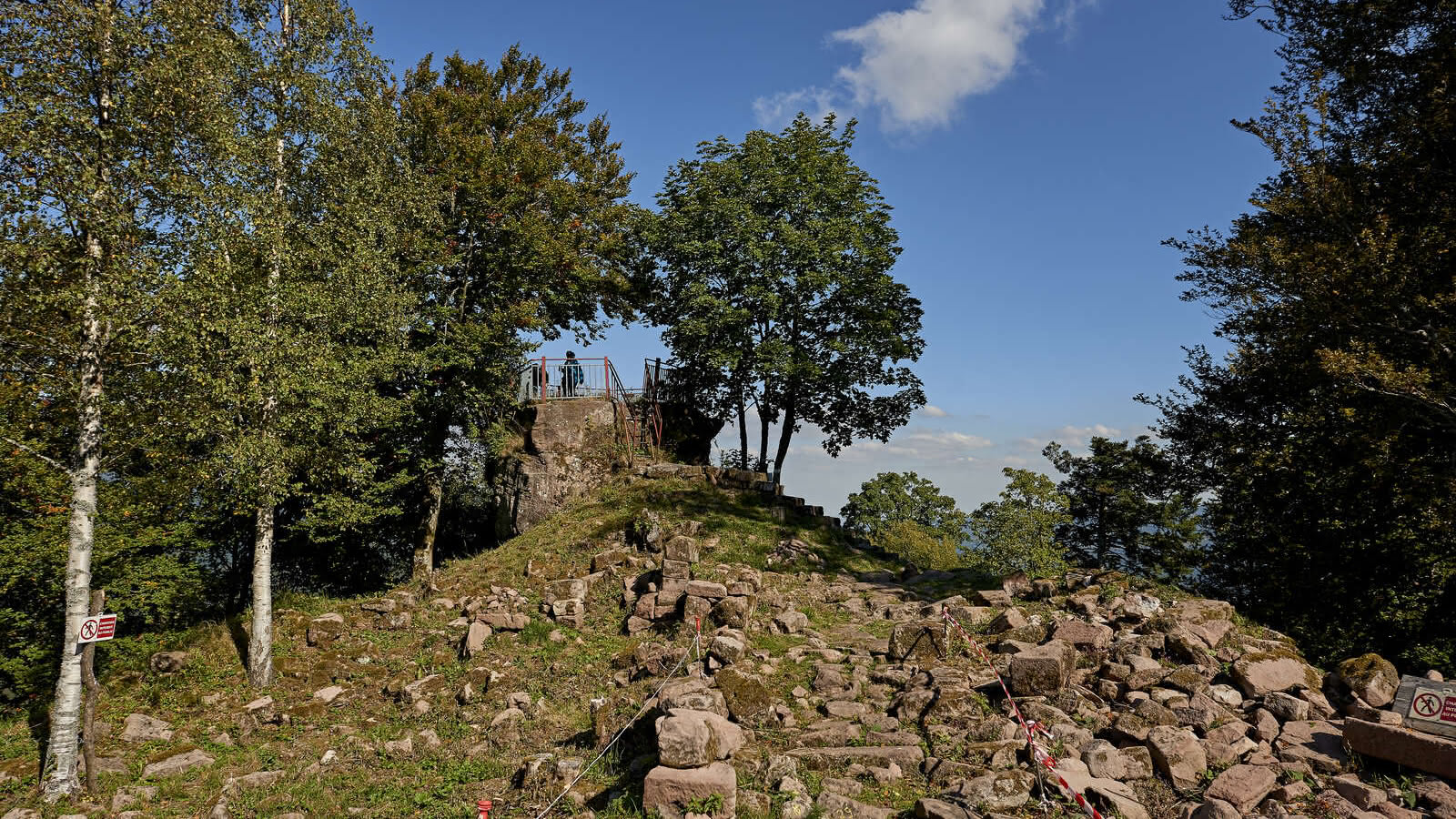
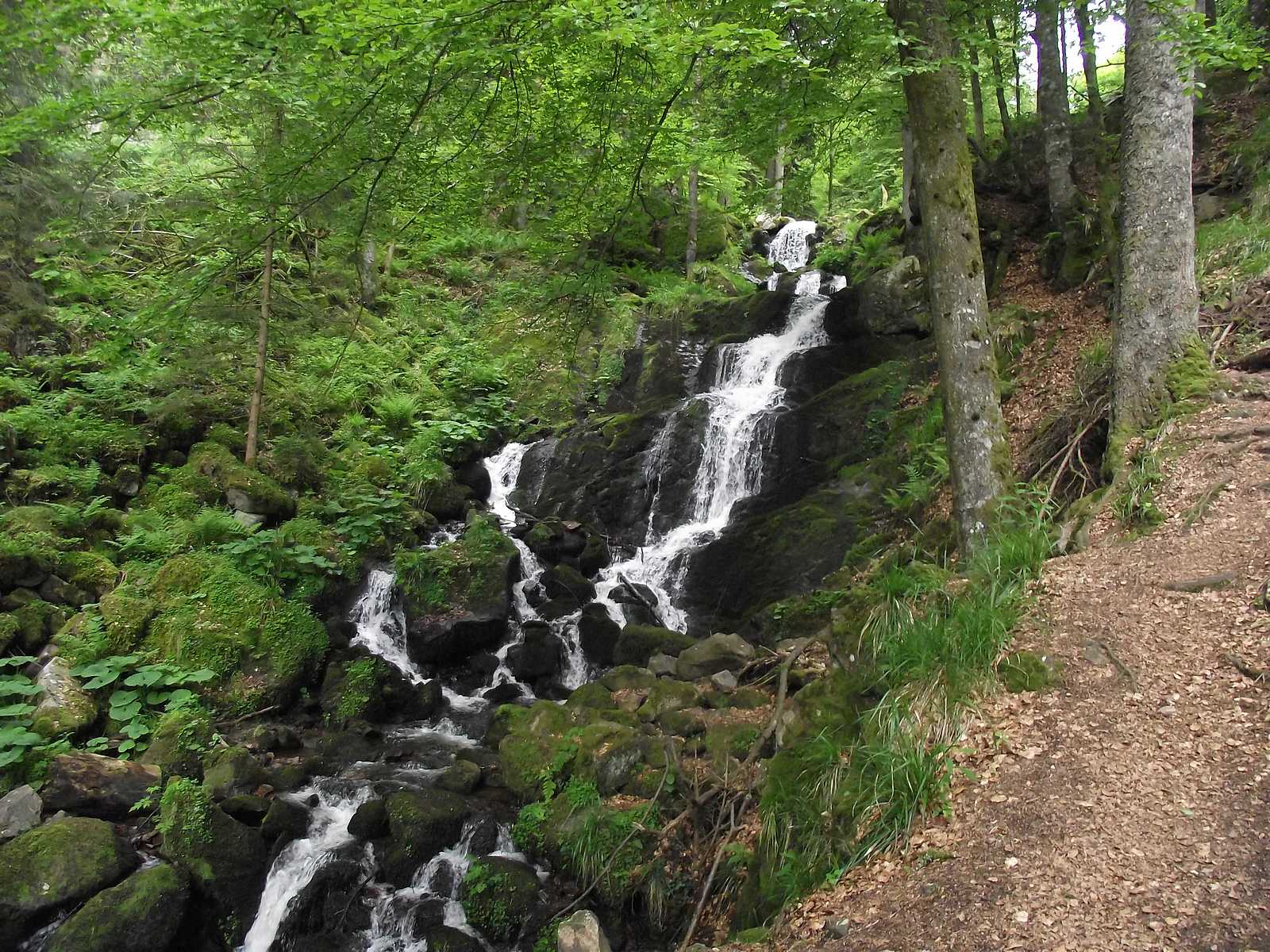
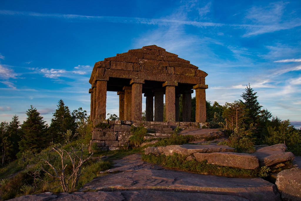
Ascent of one of the most famous peaks of the Vosges, whose mystical past is illustrated by Gallo-Roman remains and a 19th century temple. The summit (1,008 meters) offers a magnificent panorama with Lorraine on one side and the Bruche Valley on the other.

Already more than 200,000 users!
Uphill
296m
Highest point
999m
Downhill
296m
Lowest point
738m
Route type
Loop
Download the map on your smartphone to save battery and rest assured to always keep access to the route, even without signal.
Includes IGN France and Swisstopo.
Authorised
Can be difficult in Winter
16 ratings
Belle randonnée, il faut prévoir de bonnes chaussures car le trajet peut être un peu escarpé mar moment. A faire à ciel dégagé pour profiter du point de vue !
C'est dommage que l'application ne propose pas un descriptif détaillé du parcours car il peut être difficile de s'y retrouver une fois le temple passé. Être vigilant au chemin à emprunter une fois que vous arrivez à un croisement proposant plusieurs chemins sur la boucle retour (c'est à ce moment là que j'ai dévié sur un sentier forestier qui m'a ajouté 2 kilomètres de parcours, sans GPS et connexion je me serais probablement perdue).
Belle randonnée de 2h sans difficulté et parfaitement balisée avec un parking sur place. Le ciel n’étant pas dégagé ce jour-là nous la referons pour profiter davantage de la vue une fois au sommet.
Also enjoy:

Already more than 200,000 users!