Uphill
294m
Length
6km
Duration
2h30min
Elev gain
294m
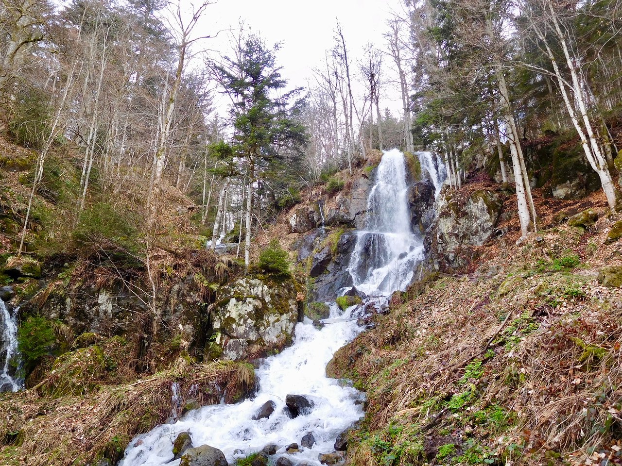
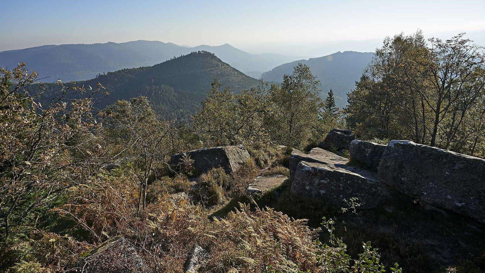
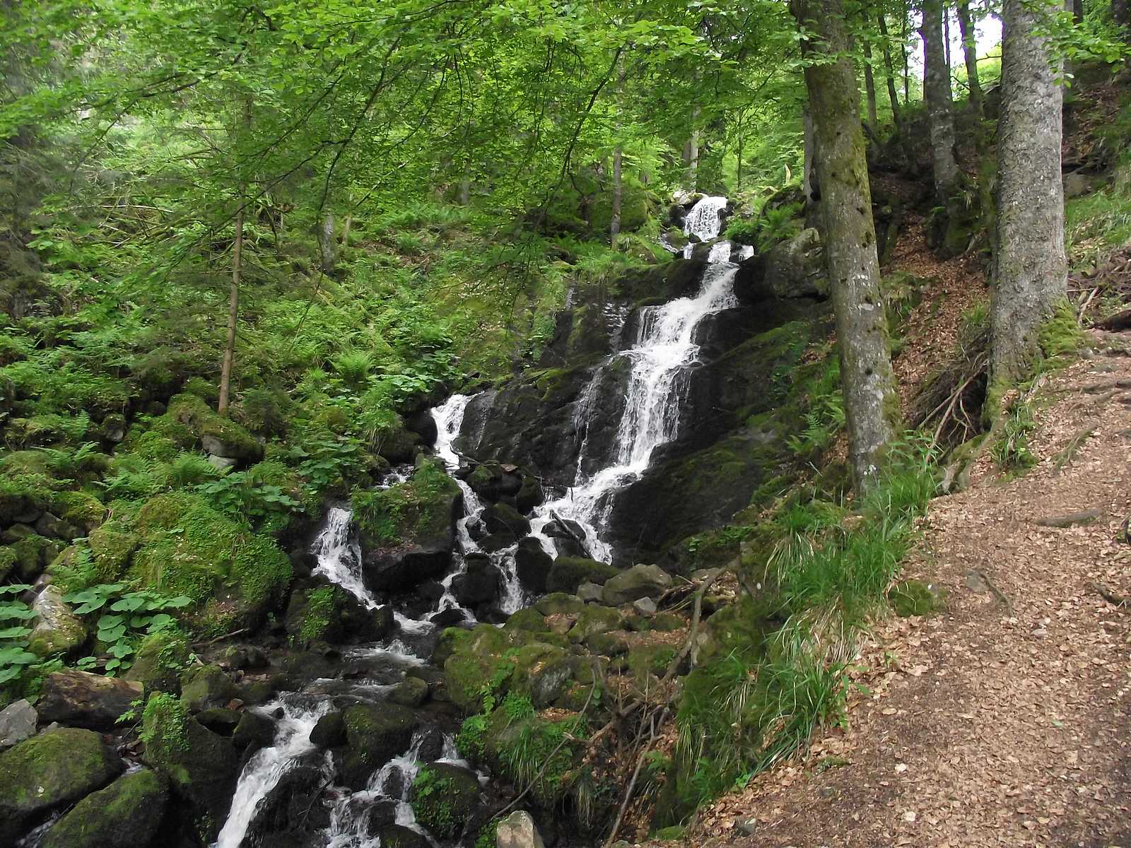
Leaving from Neuviller-la-Roche, this hike leads to the Serva waterfall. On the outward journey, the forest path passes very close to the Deserter's cave before reaching the pretty waterfall. The return runs along the Serva then passes through the village to reach the starting point.

Already more than 200,000 users!
Uphill
294m
Highest point
806m
Downhill
294m
Lowest point
520m
Route type
Loop
Download the map on your smartphone to save battery and rest assured to always keep access to the route, even without signal.
Includes IGN France and Swisstopo.
I indicate whether dogs are allowed or prohibited on this trail
All year
0 ratings
Also enjoy:

Already more than 200,000 users!