Uphill
149m
Length
4km
Duration
1h30min
Elev gain
149m
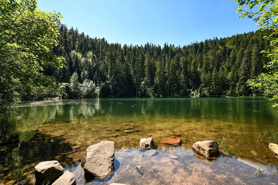
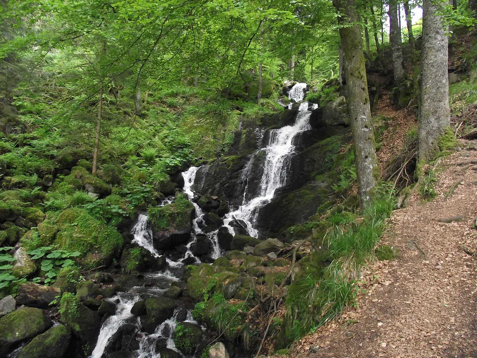
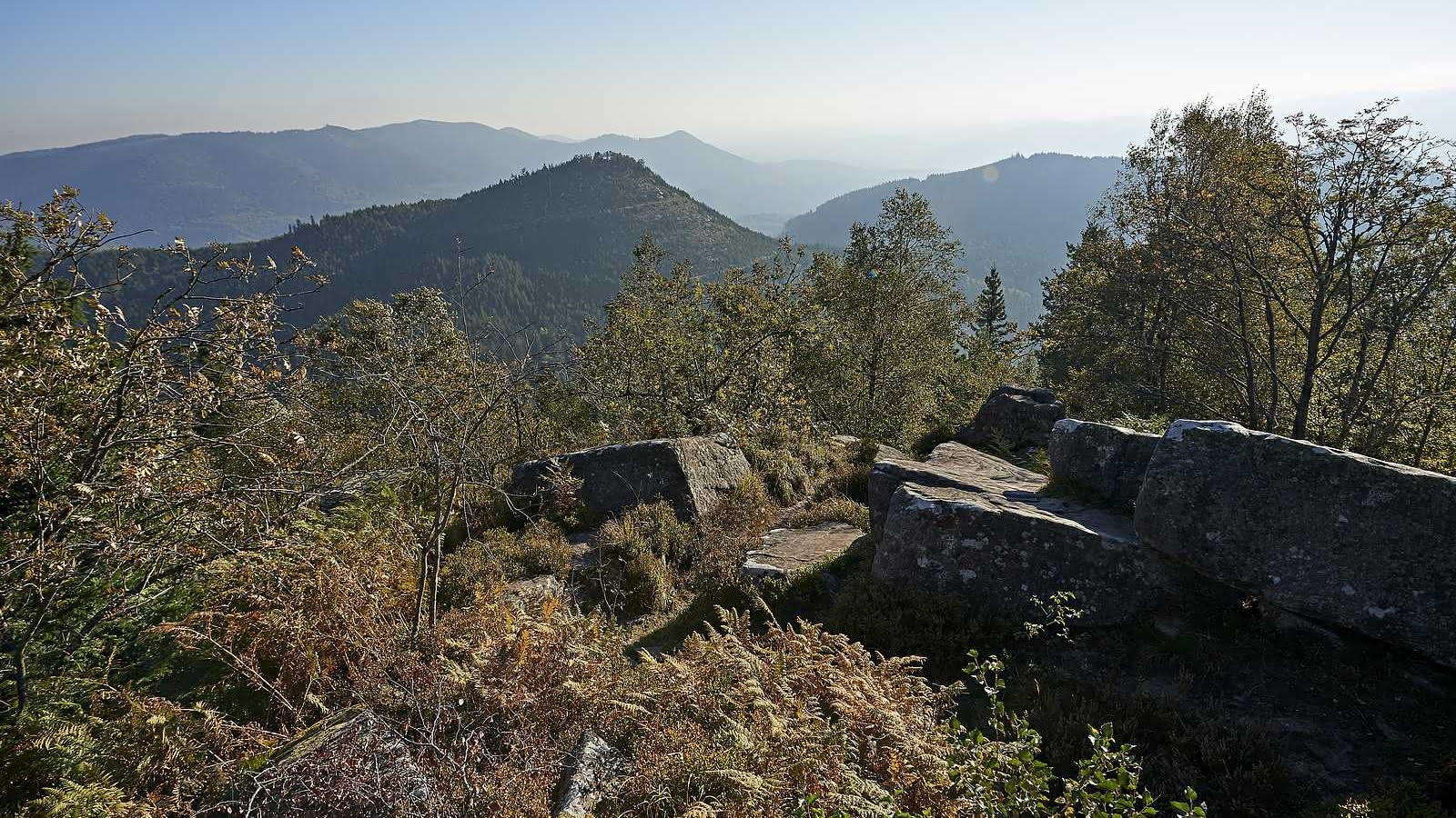
Here is a popular hike in the sandstone Vosges.
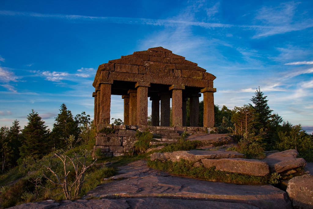
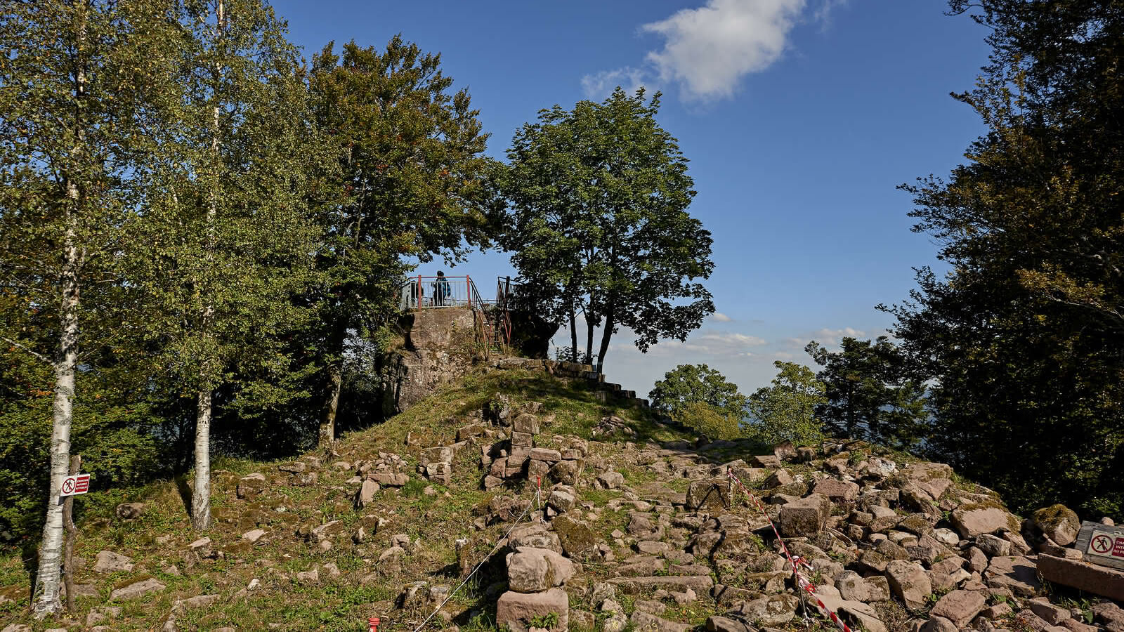
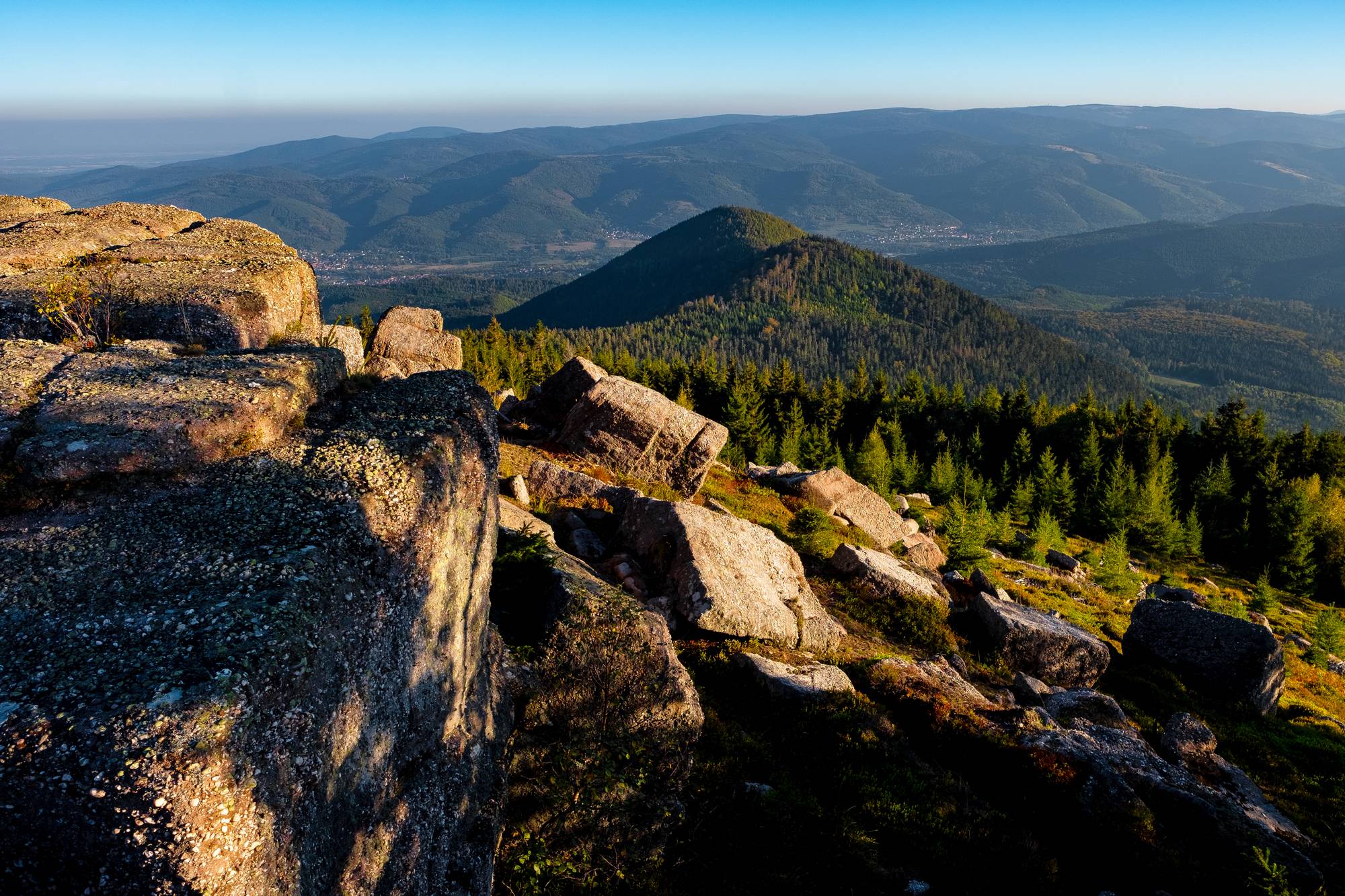
The trail crosses the forest to get to the Petit Donon, 961 meters above sea level. This massif was a place of battle during the First World War, and it is now possible to observe stelae from a Franco-German cemetery there. A place marked by history.

Already more than 200,000 users!
Uphill
149m
Highest point
927m
Downhill
149m
Lowest point
775m
Route type
Loop
Download the map on your smartphone to save battery and rest assured to always keep access to the route, even without signal.
Includes IGN France and Swisstopo.
I indicate whether dogs are allowed or prohibited on this trail
Can be difficult in Winter
0 ratings
Also enjoy:

Already more than 200,000 users!