Uphill
220m
Length
8km
Duration
2h30min
Elev gain
220m
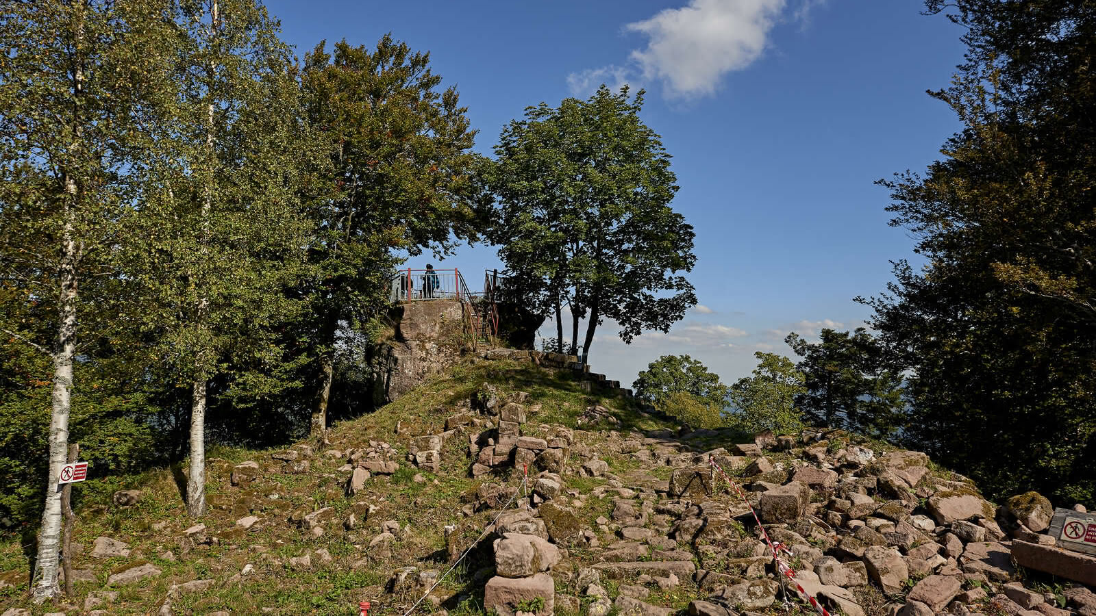
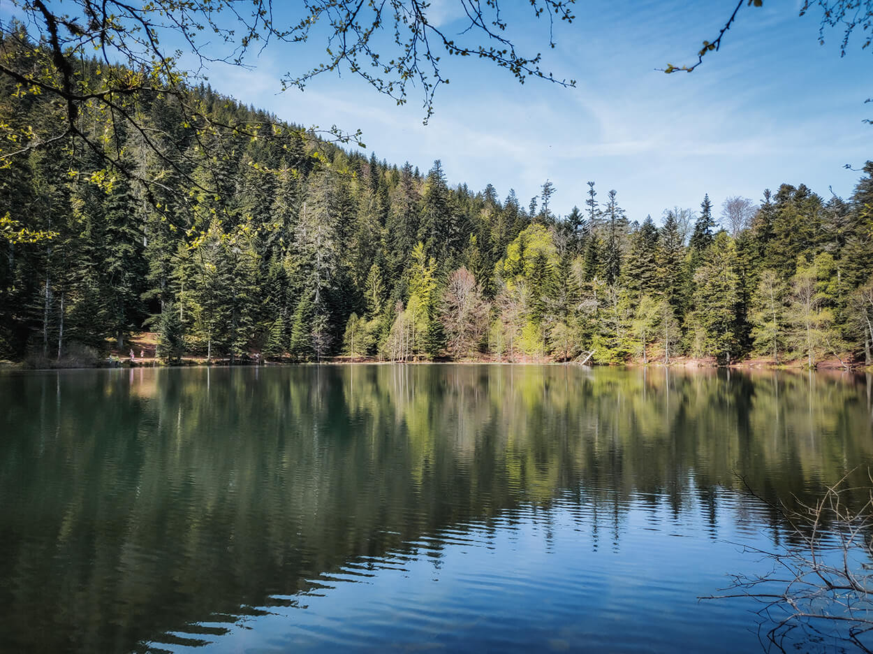
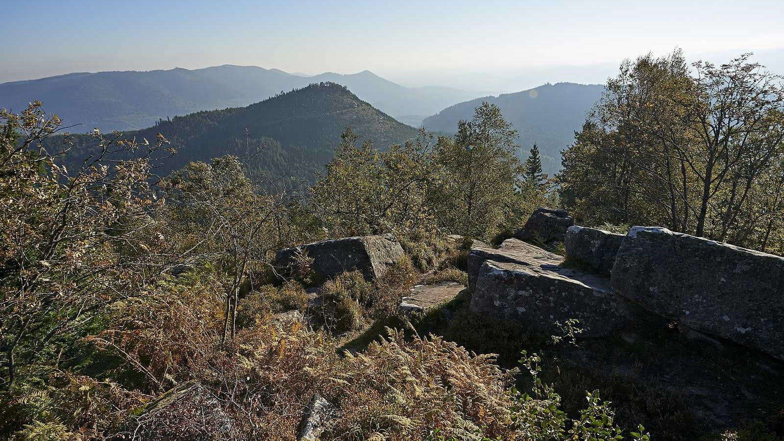
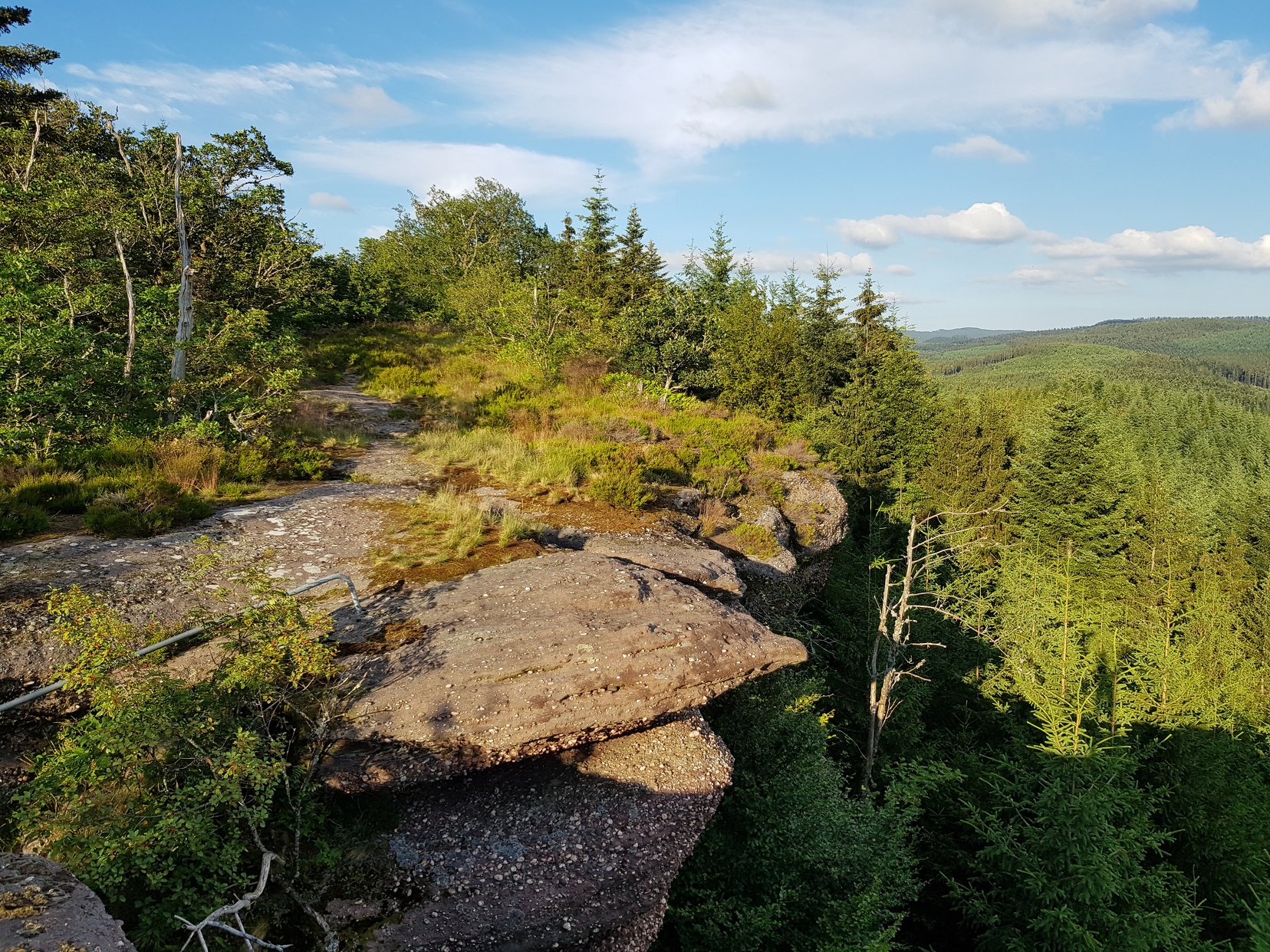
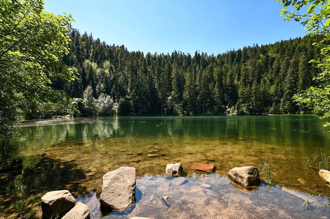
Starting from Lac de la Maix, this well-marked trail takes place mainly in the forest, and presents beautiful landscapes. Note that the surroundings of the lake can be very busy.

Already more than 200,000 users!
Uphill
220m
Highest point
830m
Downhill
220m
Lowest point
681m
Route type
Loop
Download the map on your smartphone to save battery and rest assured to always keep access to the route, even without signal.
Includes IGN France and Swisstopo.
I indicate whether dogs are allowed or prohibited on this trail
All year
1 rating
Also enjoy:

Already more than 200,000 users!