Uphill
609m
Length
19km
Duration
6h30min
Elev gain
609m
Here is a hike with many points of interest.
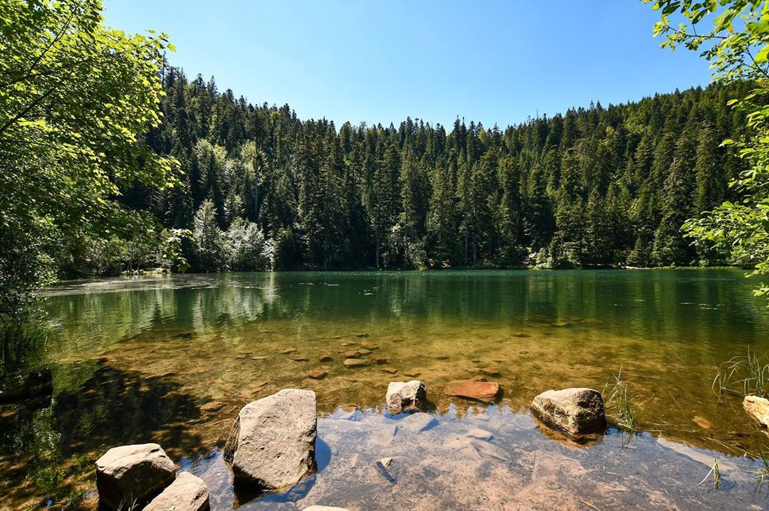
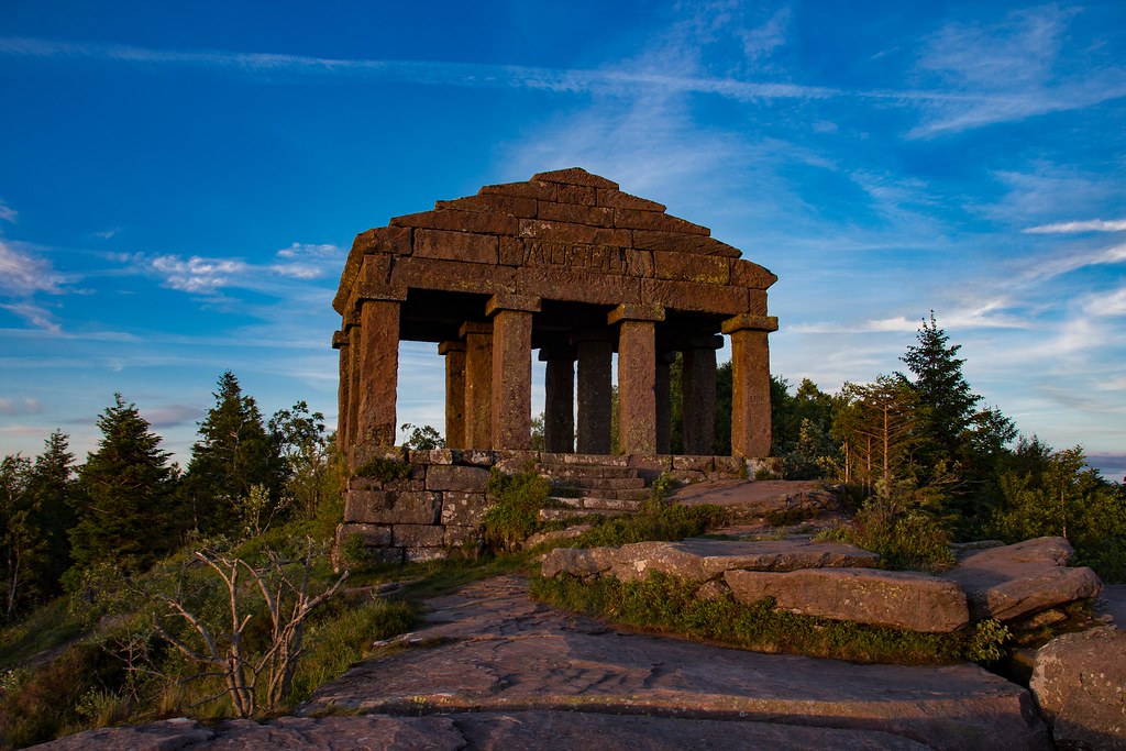
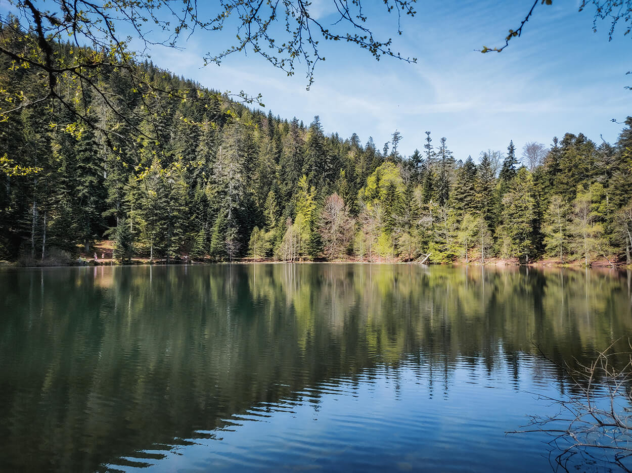
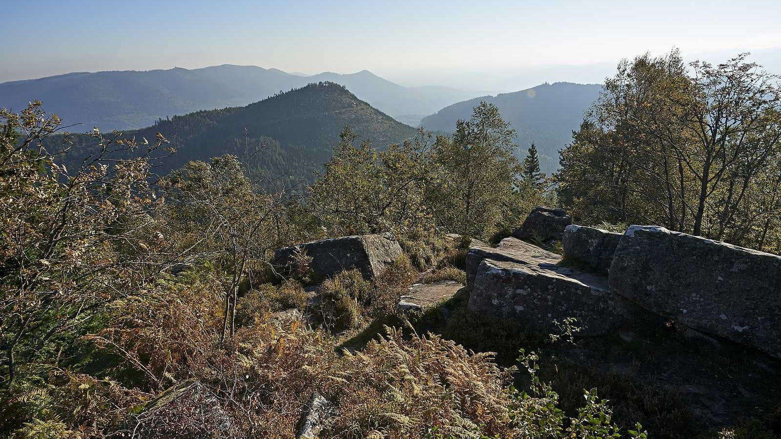
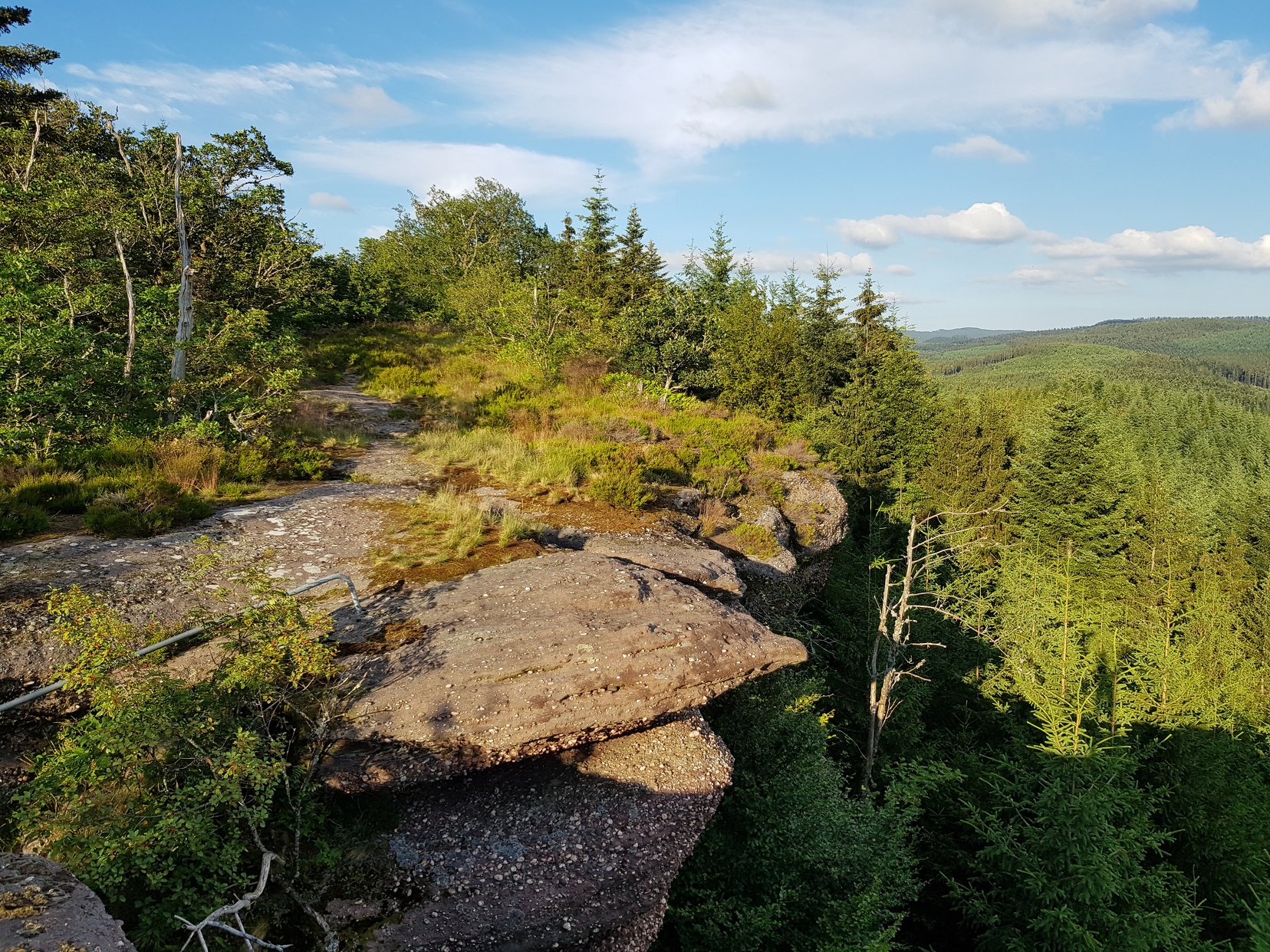
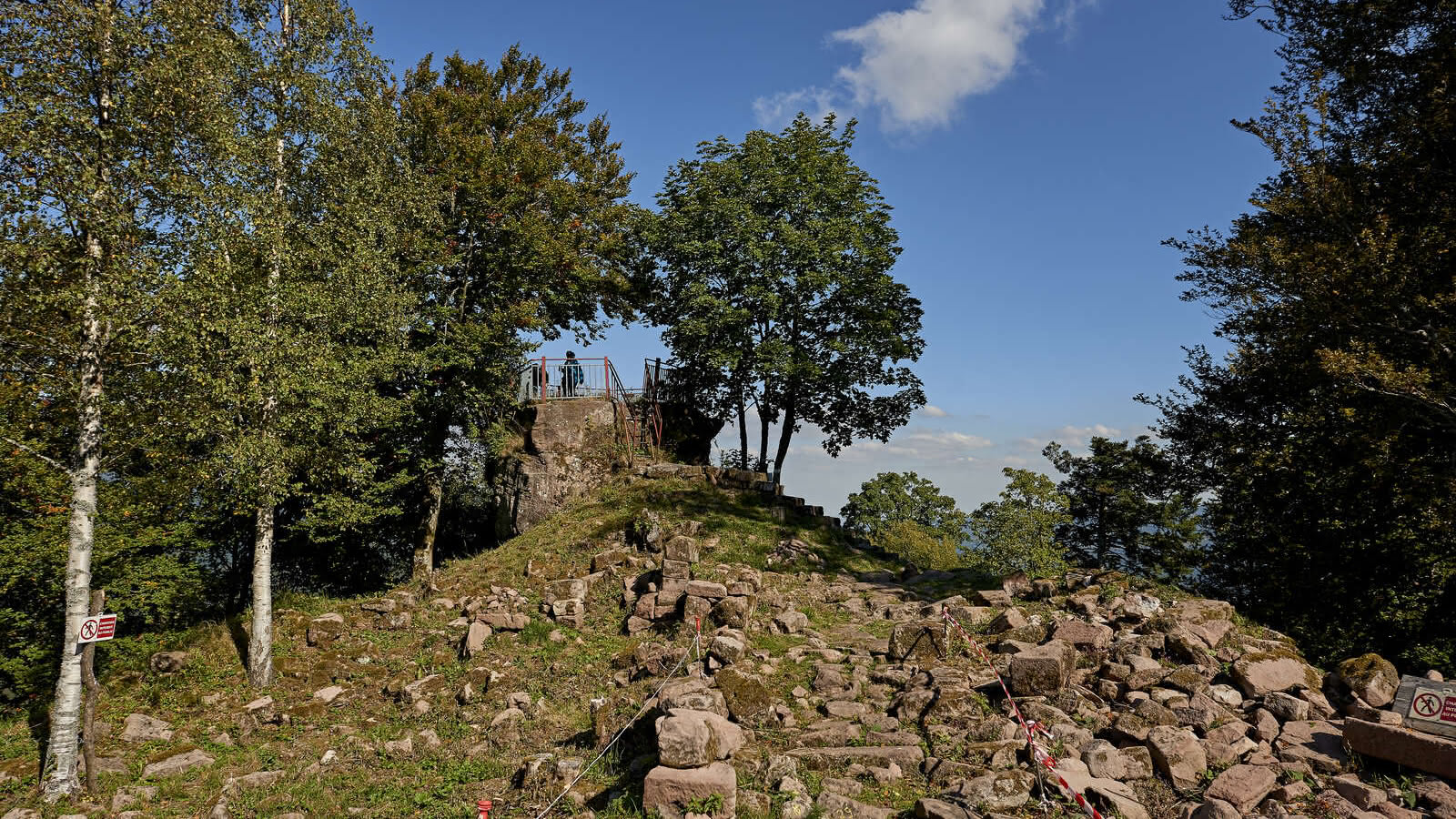
After a start next to the Rabodeau, the path goes deep into the forest to reach the Chatte Pendue (900 m) halfway through. The view there is superb. The trail then begins to descend, passing by the Tête Pelée then the ruins of the Château de Salm, before reaching the charming chapel of Bipierre, the last stage of the route before returning to the starting point.

Already more than 200,000 users!
Uphill
609m
Highest point
909m
Downhill
609m
Lowest point
550m
Route type
Loop
Download the map on your smartphone to save battery and rest assured to always keep access to the route, even without signal.
Includes IGN France and Swisstopo.
I indicate whether dogs are allowed or prohibited on this trail
Can be difficult in Winter
1 rating
Also enjoy:

Already more than 200,000 users!