Uphill
393m
Length
14km
Duration
4h30min
Elev gain
393m
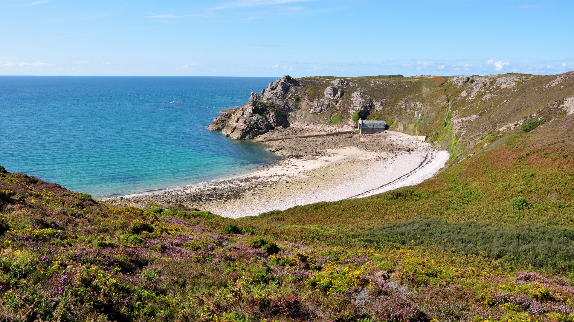
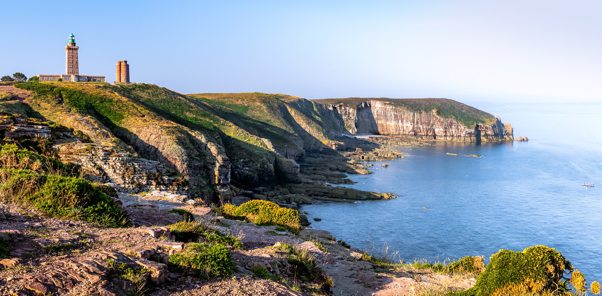
This hike begins at Fort la Latte, a 14th century castle built on a rocky promontory offering a beautiful view of the bay of Saint-Malo and the Emerald Coast. There is a charge for its visit.
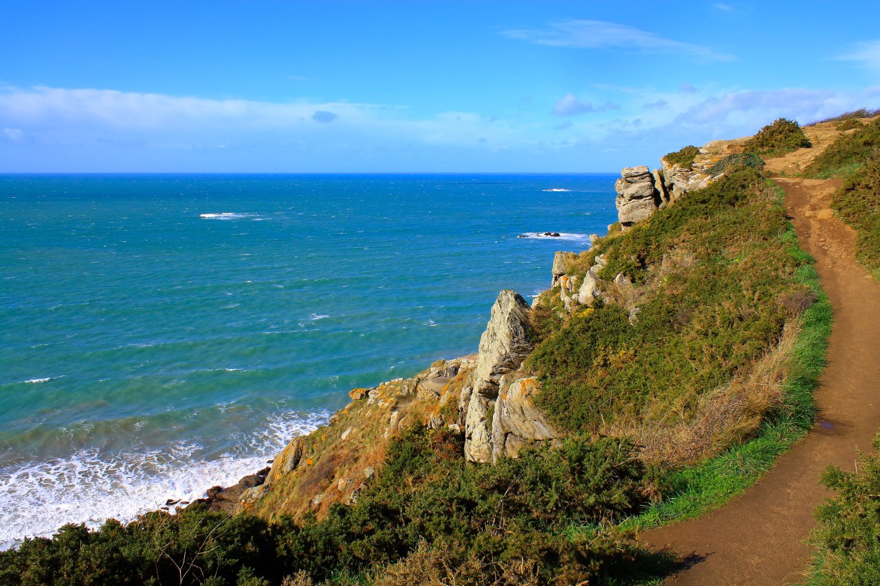
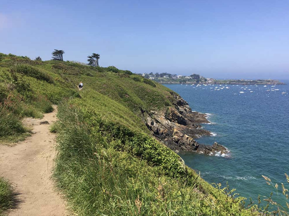
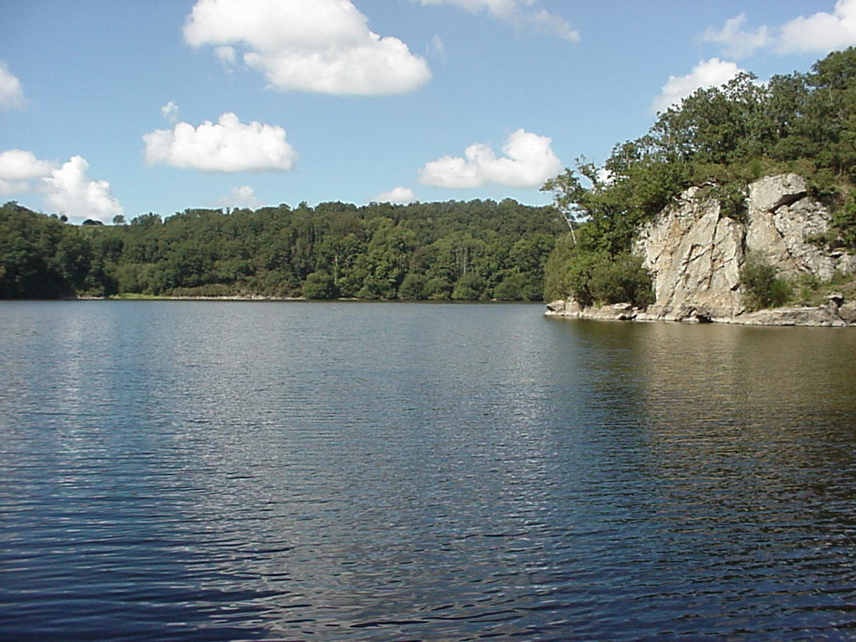
The trail then runs along impressive cliffs overlooking the sea to the famous Cape Fréhel lighthouse, itself in the heart of unspoiled moors. The return is made by small paths inland.

Already more than 200,000 users!
Uphill
393m
Highest point
83m
Downhill
393m
Lowest point
0m
Route type
Loop
Download the map on your smartphone to save battery and rest assured to always keep access to the route, even without signal.
Includes IGN France and Swisstopo.
I indicate whether dogs are allowed or prohibited on this trail
All year
8 ratings
Balade exceptionnelle de par la variété des paysages parcourus. Nous avons décidé de visiter le fort de la Latte au départ de la rando - c’est payant mais très intéressant, avec de jolis points de vue sur la baie de Saint-Malo.
La suite de la balade, entre le fort et le cap Fréhel, est une succession de falaises assez spectaculaires. Il y a un peu de monde mais c’est gérable.
Le retour dans les terres est plus classique, un mix de hameaux et de landes.
Also enjoy:

Already more than 200,000 users!