Uphill
63m
Length
6km
Duration
1h30min
Elev gain
63m
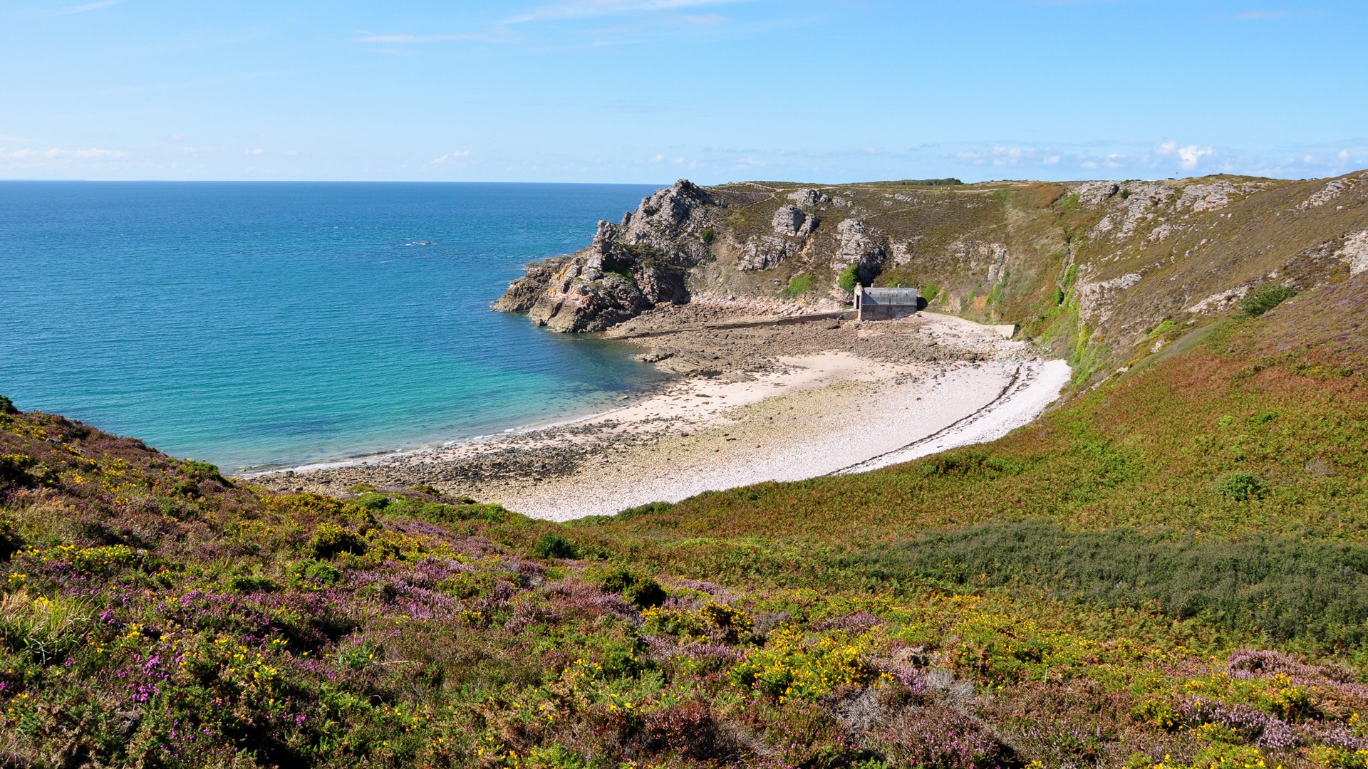
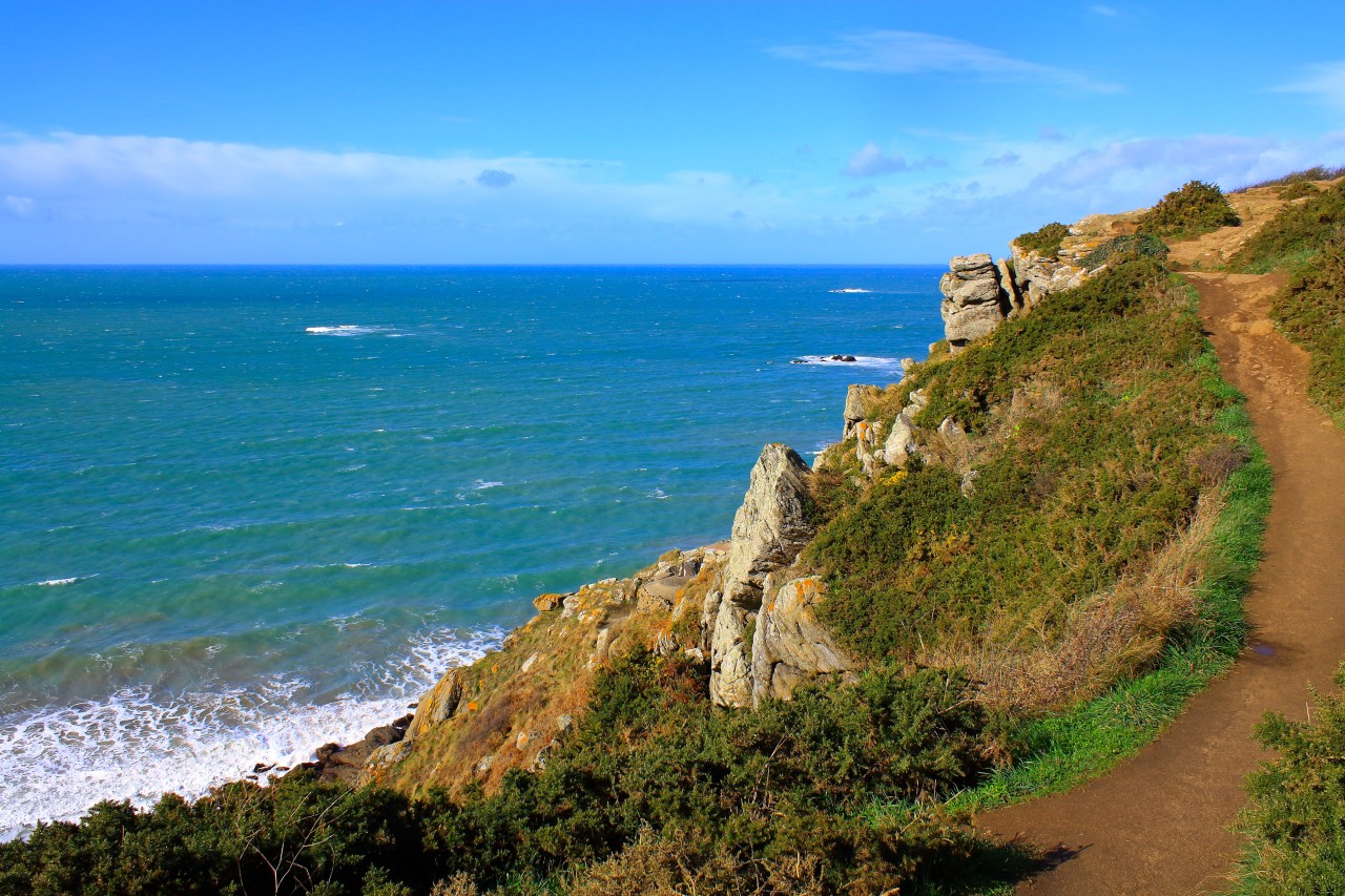
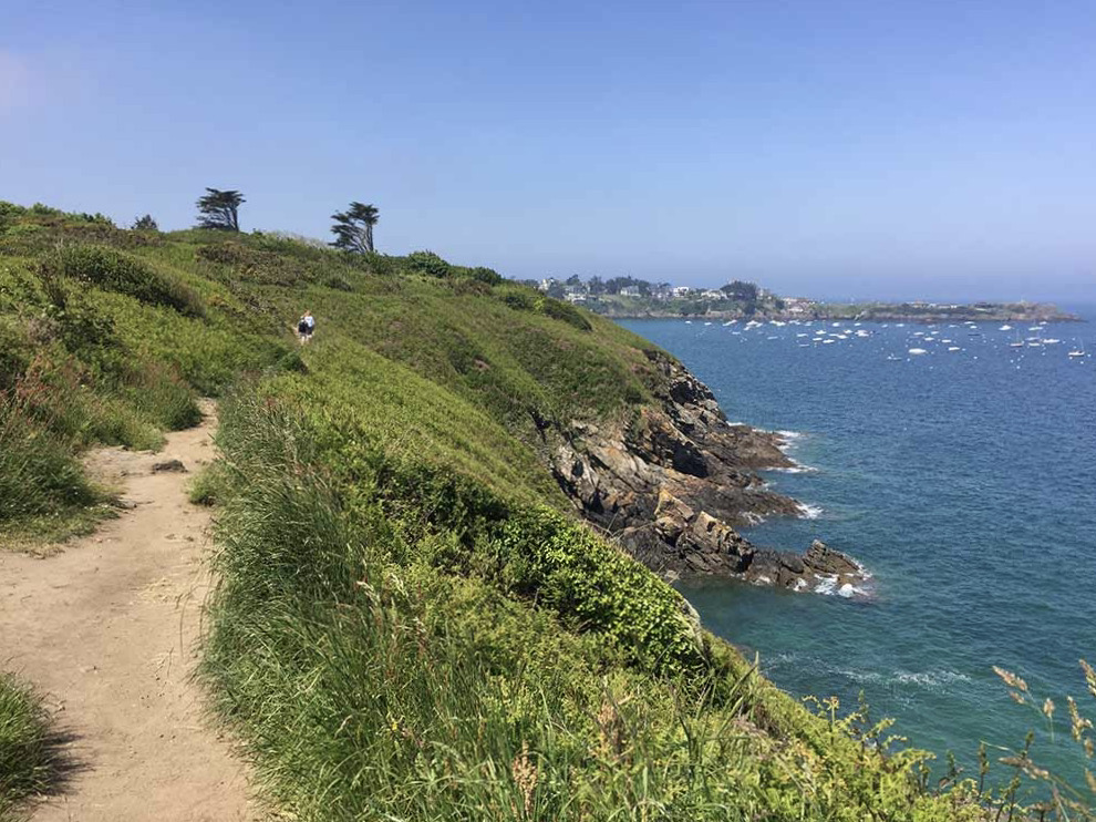
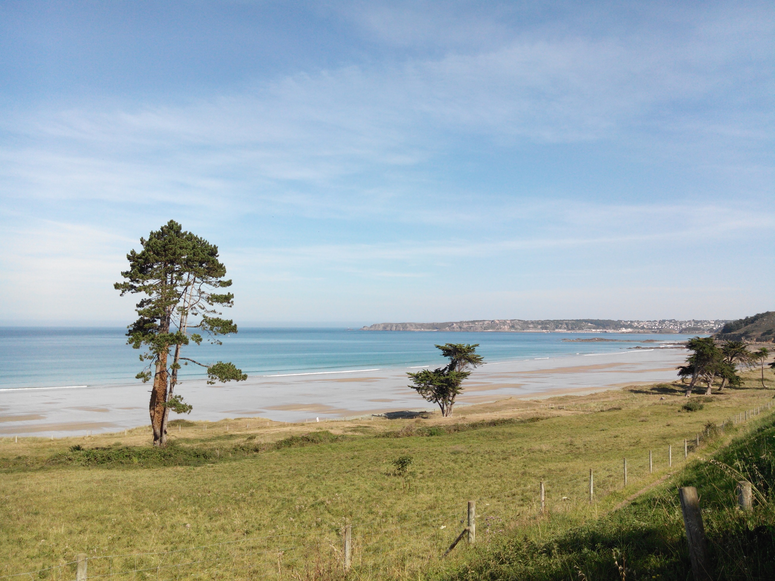
One-way hike, which can be done from Caroual or Val-André. The trail runs along the large beaches of Nantois, Ville Berneuf, and Saint-Pabu, in a landscape of moors.

Already more than 200,000 users!
Uphill
63m
Highest point
63m
Downhill
57m
Lowest point
17m
Route type
One way
Download the map on your smartphone to save battery and rest assured to always keep access to the route, even without signal.
Includes IGN France and Swisstopo.
Parking de la plage de Caroual at one end.
Parking des Vallées at the other end.
I indicate whether dogs are allowed or prohibited on this trail
All year
0 ratings
Also enjoy:

Already more than 200,000 users!