Uphill
26m
Length
1km
Duration
30min
Elev gain
26m
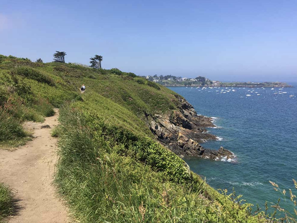
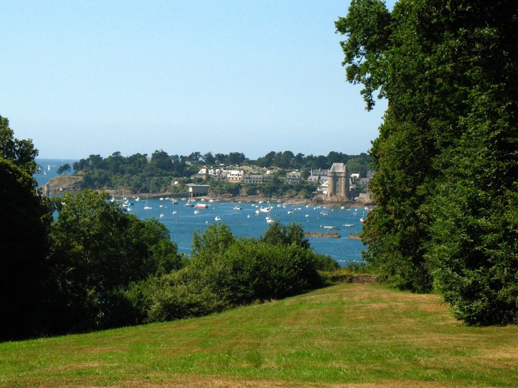
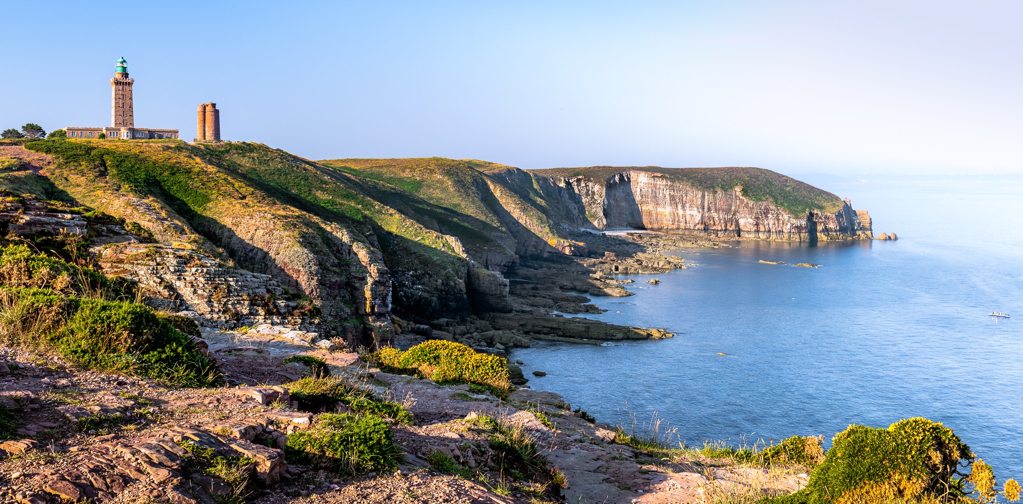
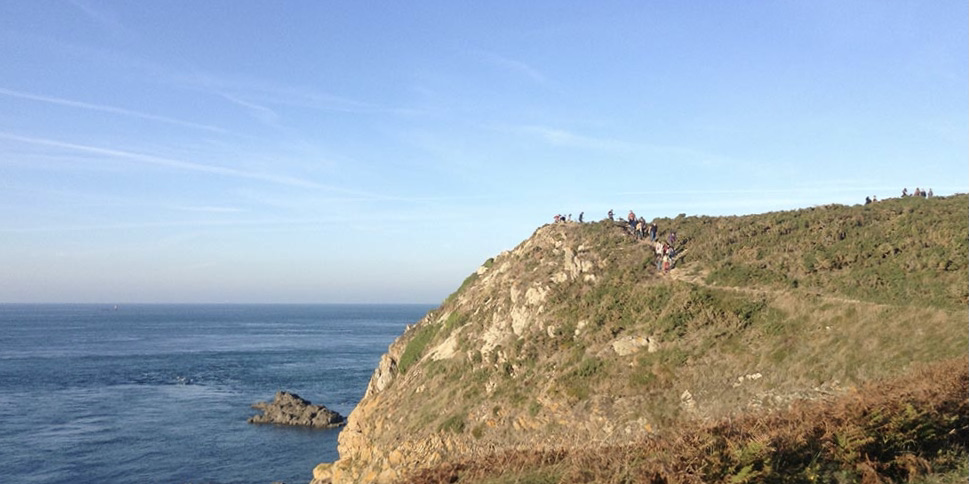
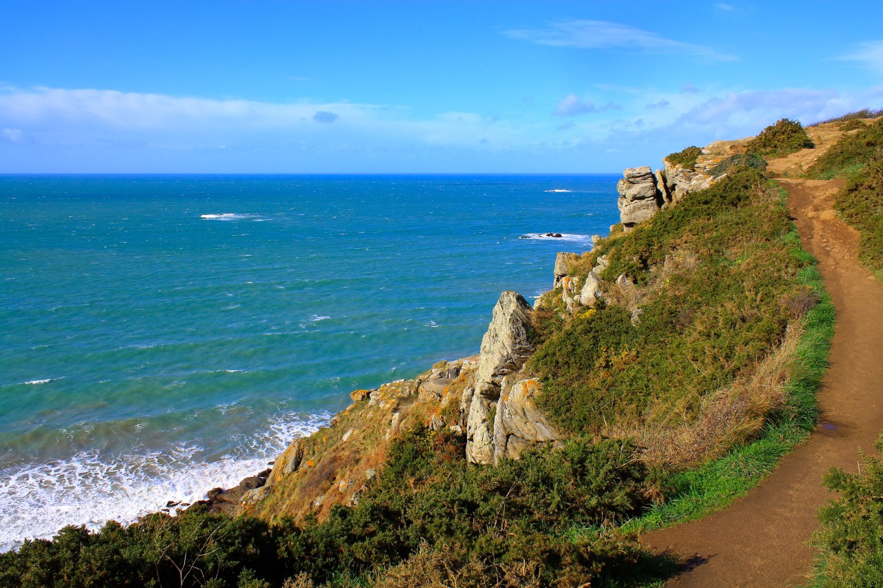
Short and pleasant walk in the natural area of Garde-Guérin, managed by the department. It is a rocky promontory culminating at 48 meters above the sea, and offering a panorama extending from Cap Fréhel to Saint-Malo.

Already more than 200,000 users!
Uphill
26m
Highest point
31m
Downhill
25m
Lowest point
8m
Route type
Loop
Download the map on your smartphone to save battery and rest assured to always keep access to the route, even without signal.
Includes IGN France and Swisstopo.
I indicate whether dogs are allowed or prohibited on this trail
All year
0 ratings
Also enjoy:

Already more than 200,000 users!