Uphill
52m
Length
2km
Duration
30min
Elev gain
52m
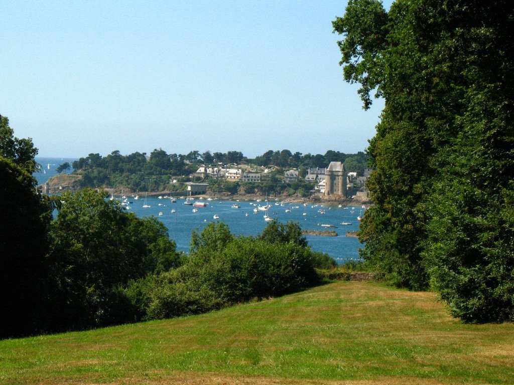
Pleasant walk in a park overlooking the banks of the Rance, and offering a view of Dinard and the Solidor tower of Saint-Malo.

Already more than 200,000 users!
Uphill
52m
Highest point
61m
Downhill
52m
Lowest point
11m
Route type
Loop
Download the map on your smartphone to save battery and rest assured to always keep access to the route, even without signal.
Includes IGN France and Swisstopo.
I indicate whether dogs are allowed or prohibited on this trail
All year
0 ratings
Also enjoy:

Already more than 200,000 users!


