Uphill
497m
Length
9km
Duration
3h30min
Elev gain
497m
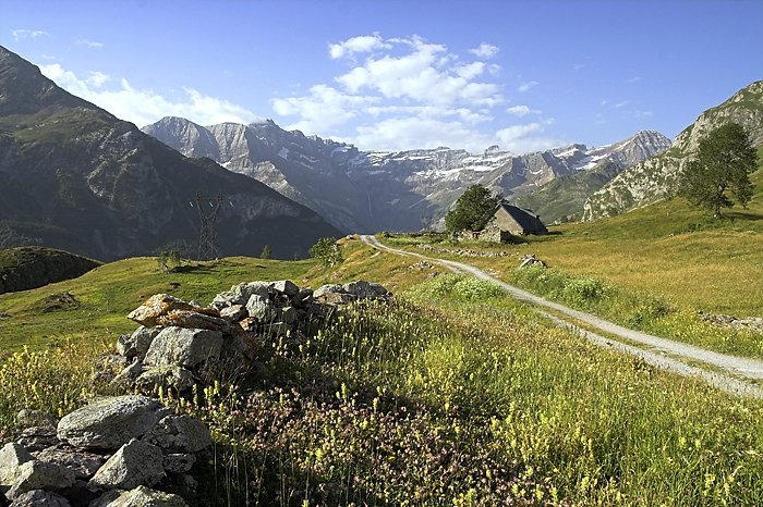
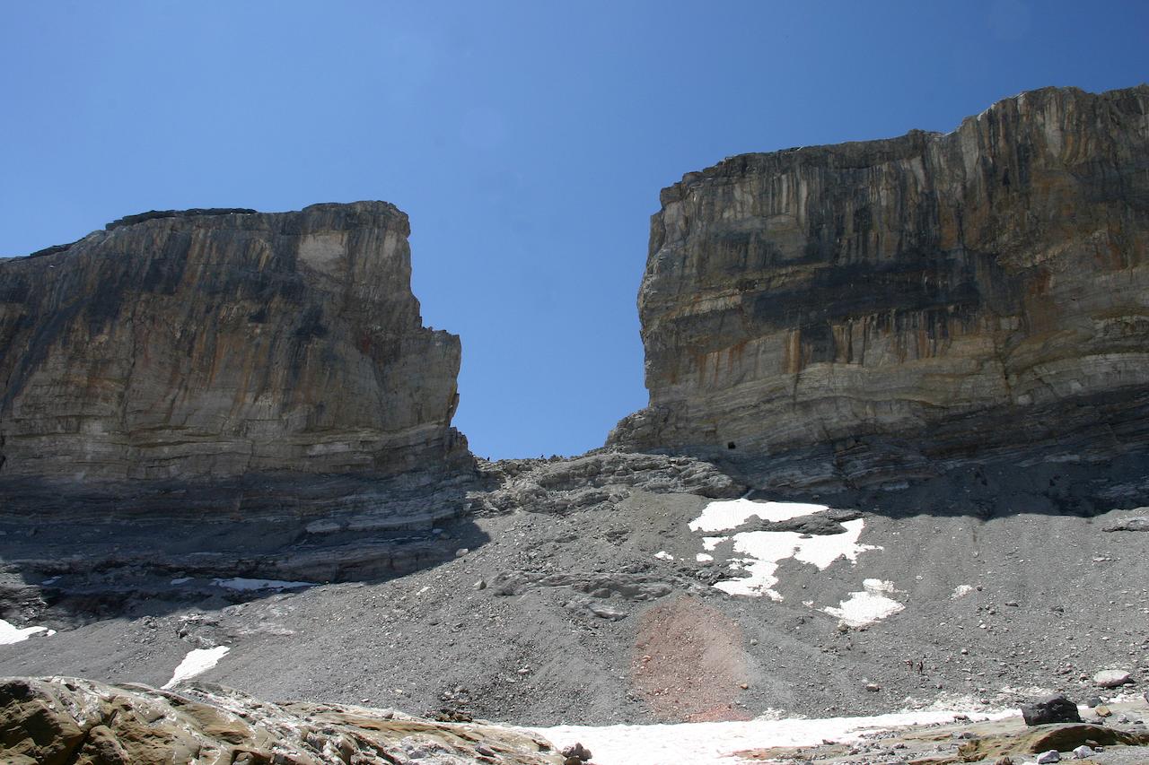
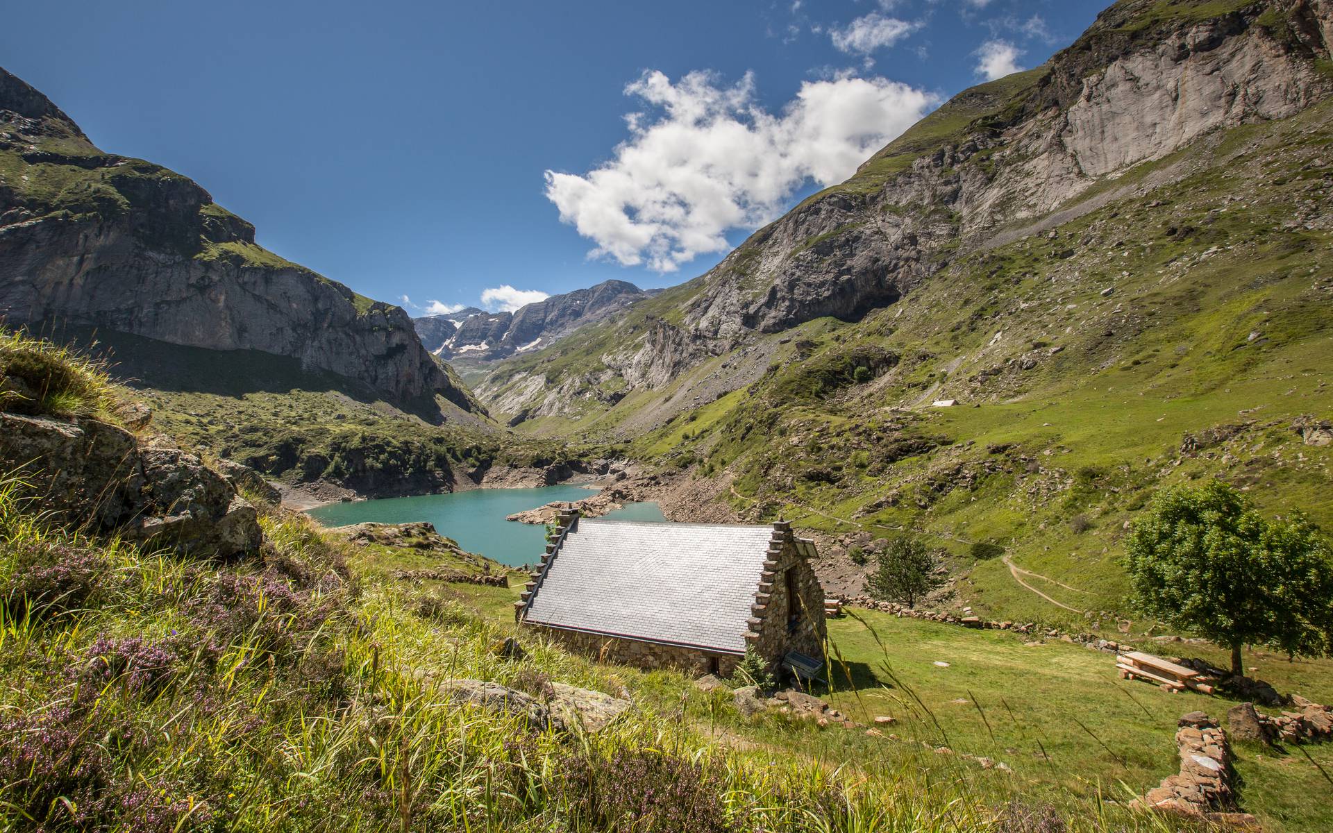
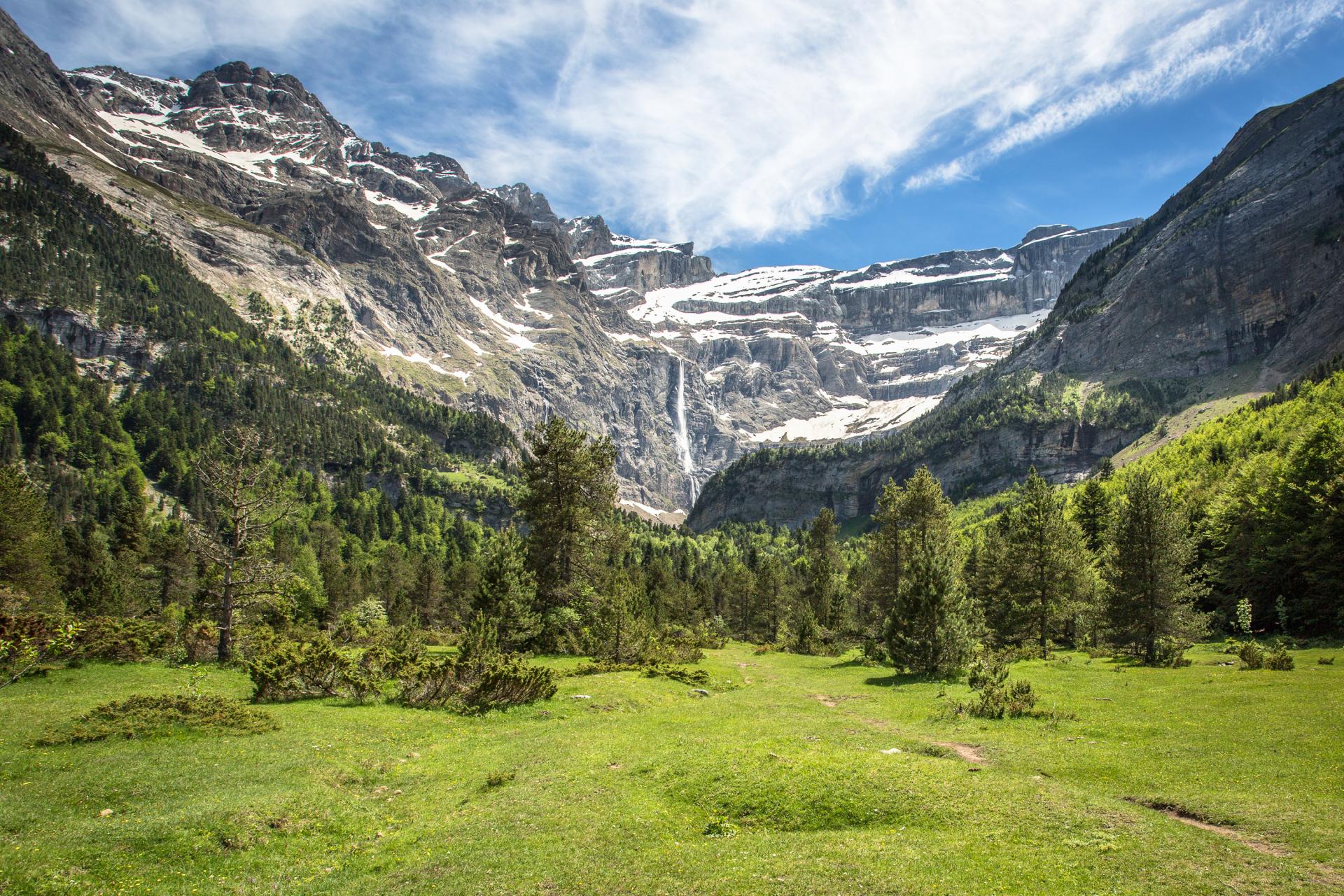
Here is one of the most beautiful walks in France, within a spectacular circus sheltering the highest waterfall in France with more than 400 meters. This has quite simply earned it a place on the UNESCO World Heritage List!
The trail is relatively easy, and traffic can be heavy in the summer.

Already more than 200,000 users!
Uphill
497m
Highest point
1764m
Downhill
497m
Lowest point
1364m
Route type
There and back
Download the map on your smartphone to save battery and rest assured to always keep access to the route, even without signal.
Includes IGN France and Swisstopo.
7 ratings
Très belle randonnée. Je recommande cependant pour monter au pied de la cascade. Il faut être prudent car beaucoup d'éboulement.
Also enjoy:

Already more than 200,000 users!