Uphill
986m
Length
14km
Duration
7h
Elev gain
986m
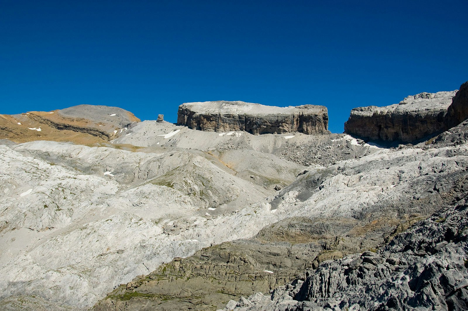
Ascent of Pic du Taillon (3144 m) via the famous Roland breach.

Already more than 200,000 users!
Uphill
986m
Highest point
3145m
Downhill
986m
Lowest point
2201m
Route type
There and back
Download the map on your smartphone to save battery and rest assured to always keep access to the route, even without signal.
Includes IGN France and Swisstopo.
3 ratings
Also enjoy:

Already more than 200,000 users!


