Uphill
1214m
France > Occitanie > Hautes-Pyrénées > Pyrénées National Park
Length
14km
Duration
8h30min
Elev gain
1214m
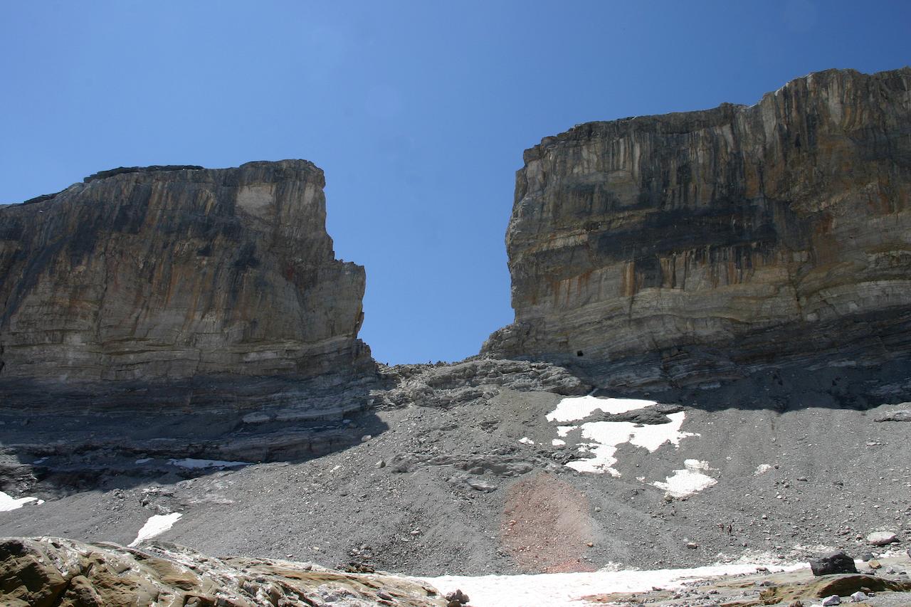
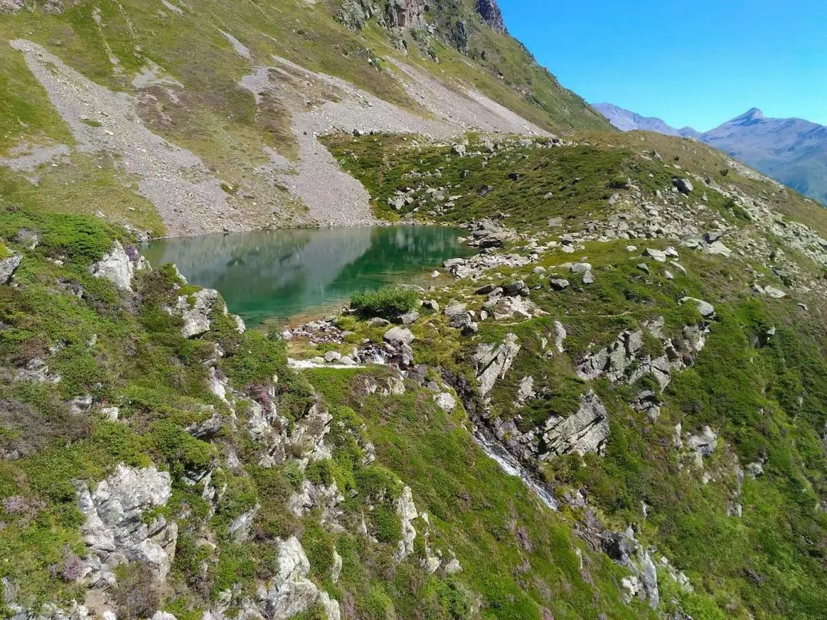
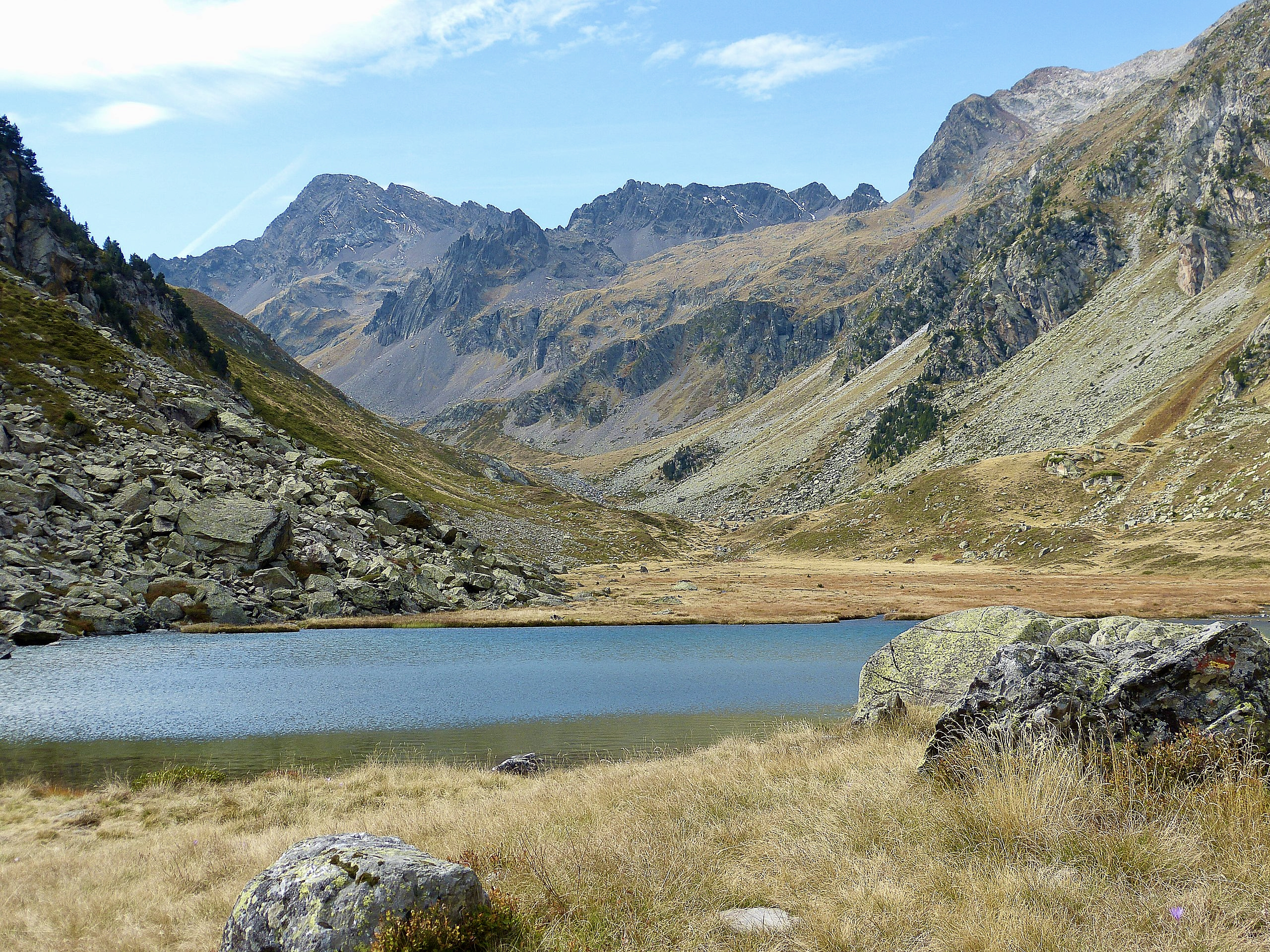
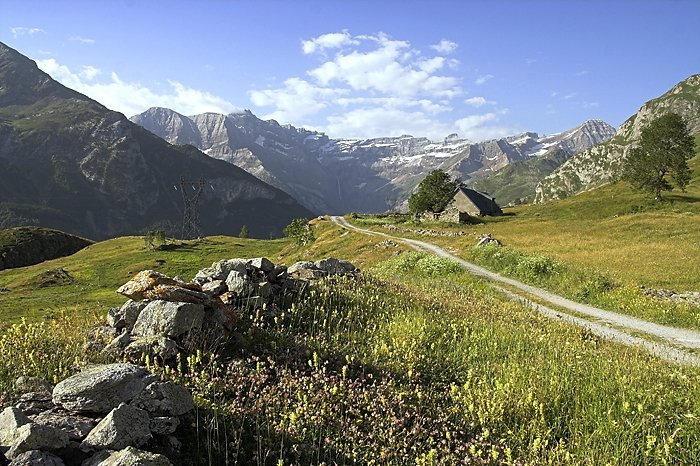
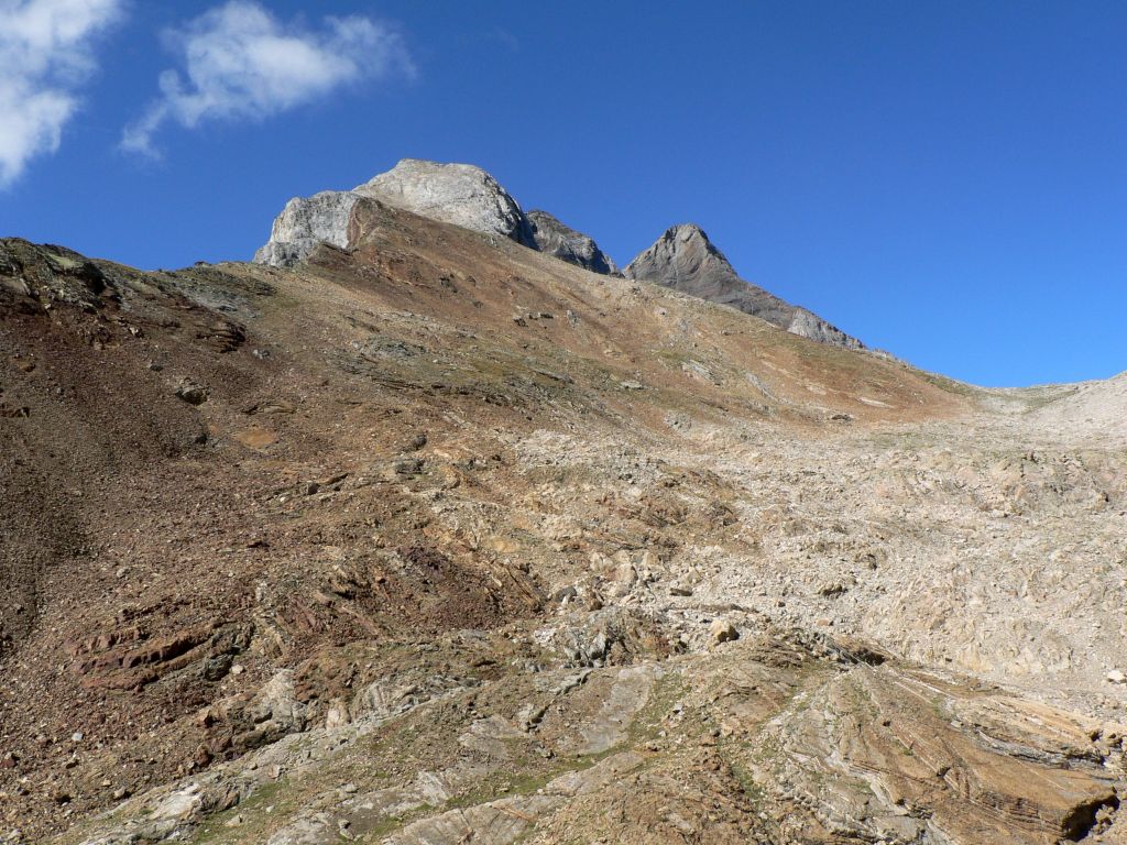
This sporty hike goes up to Petit Vignemale, at an altitude of 3,032 metres. The trail begins by following the Gave d'Ossoue then follows the Oulettes stream. Before reaching the summit, a short break at the Baysselance refuge is welcome. At the top, the panorama is spectacular.

Already more than 200,000 users!
Uphill
1214m
Highest point
2951m
Downhill
1214m
Lowest point
1826m
Route type
There and back
Download the map on your smartphone to save battery and rest assured to always keep access to the route, even without signal.
Includes IGN France and Swisstopo.
0 ratings
Also enjoy:

Already more than 200,000 users!