Uphill
526m
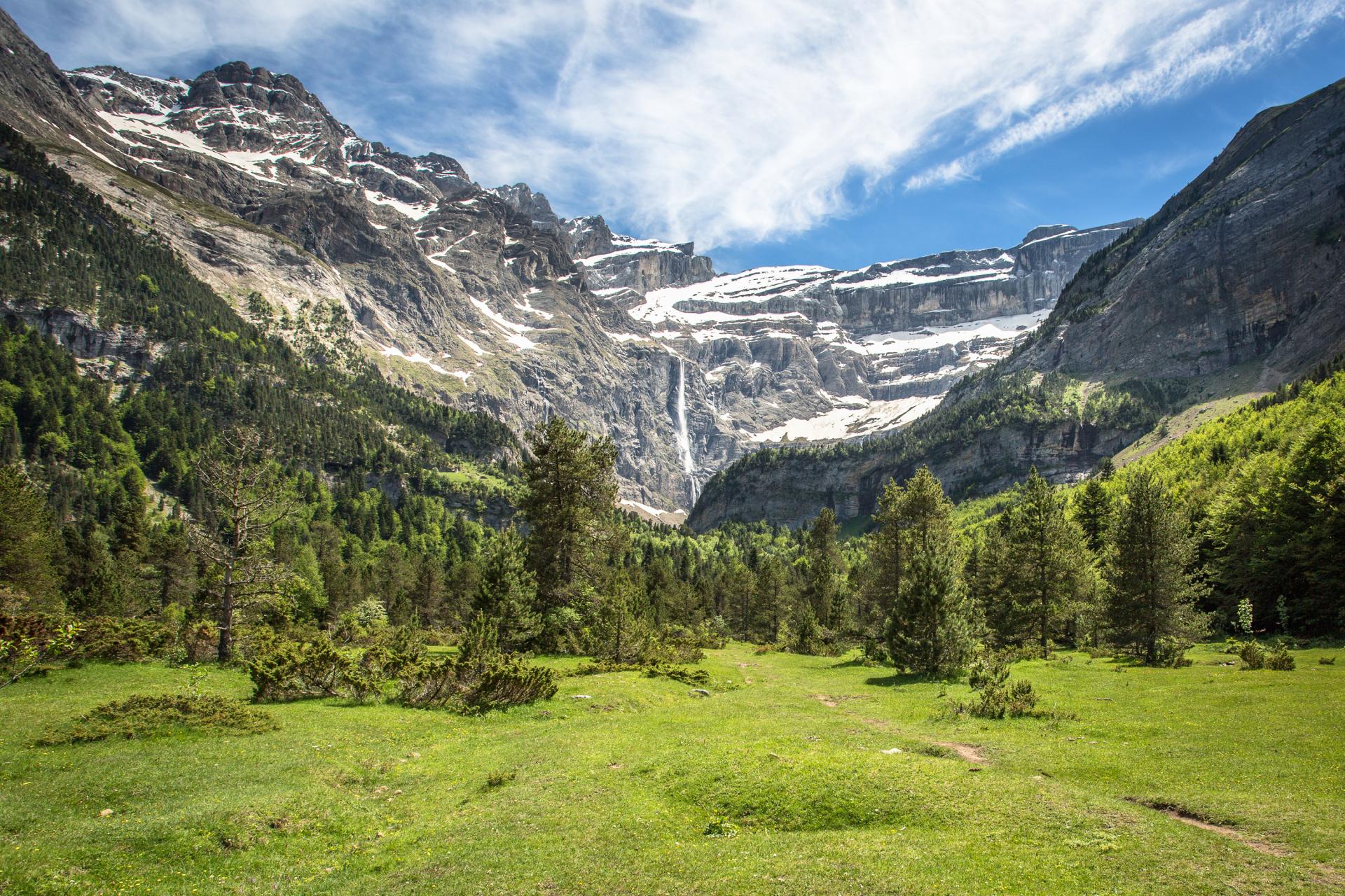
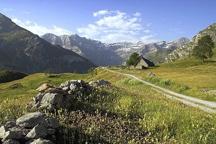
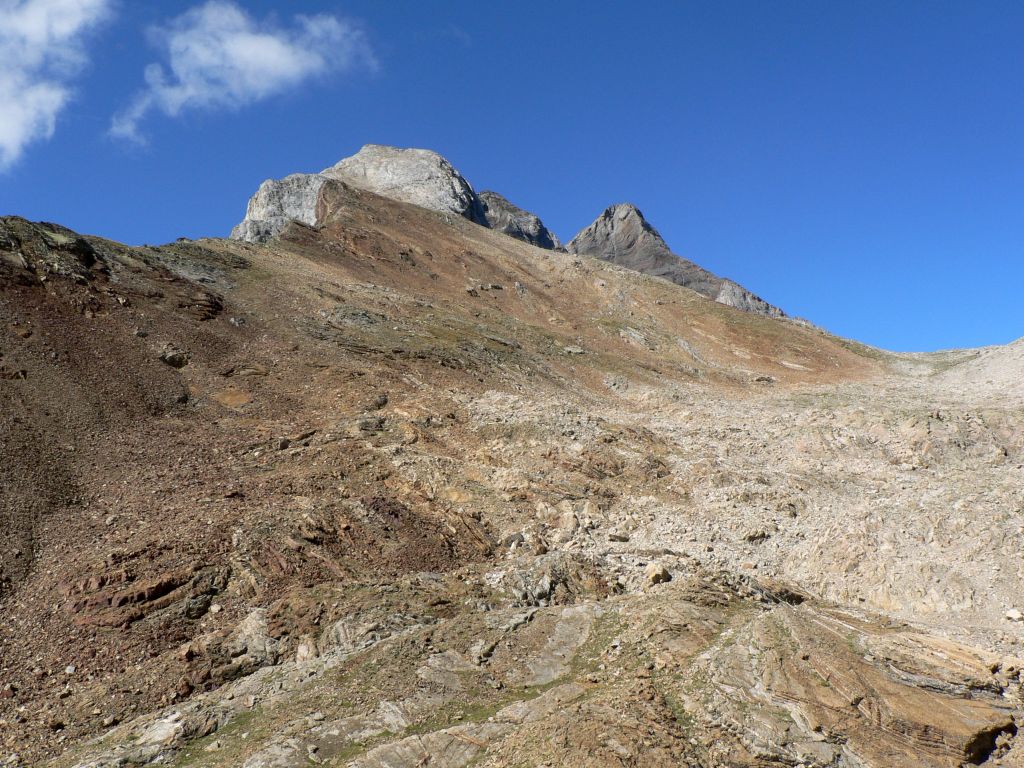
France > Occitanie > Hautes-Pyrénées > Pyrénées National Park
Length
10km
Duration
4h
Elev gain
526m
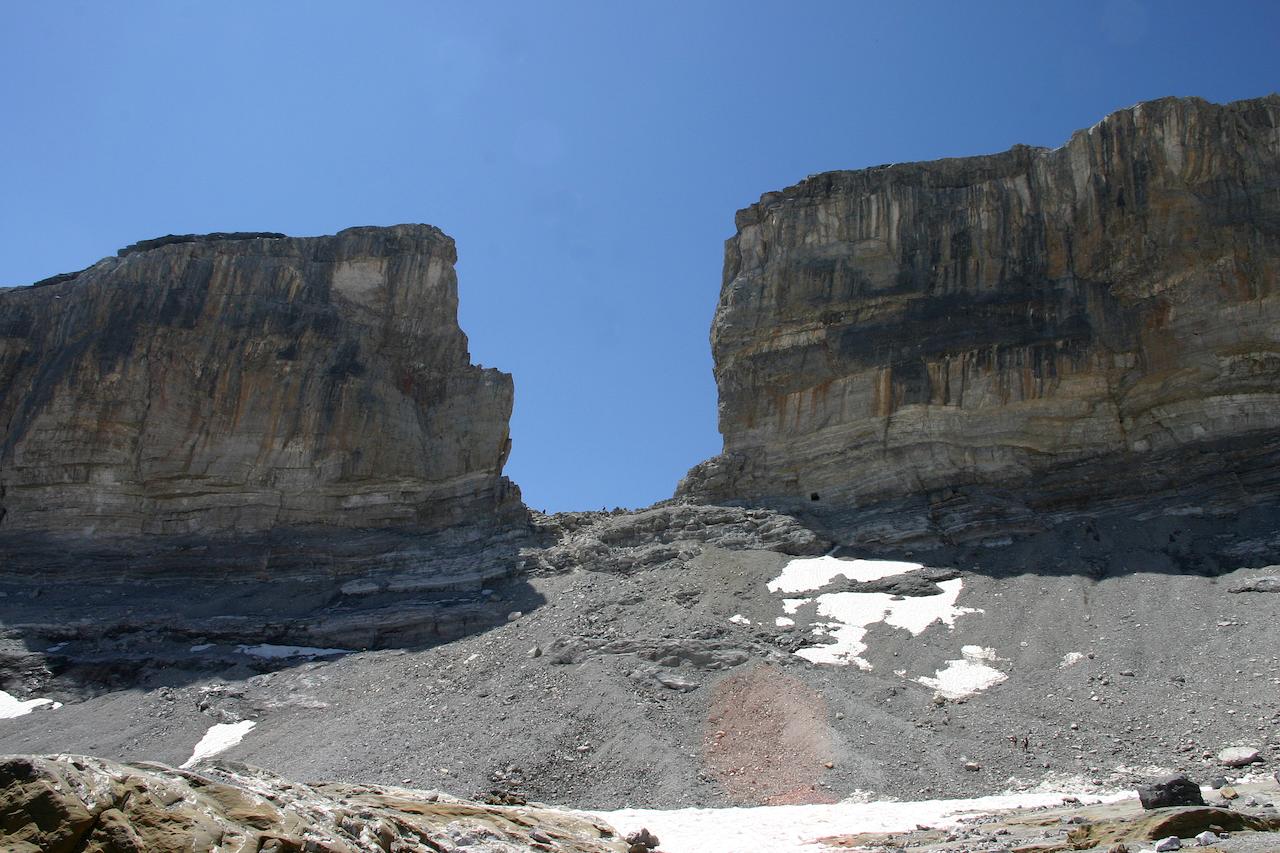
The Brèche de Roland is a spectacular natural gap, 100 meters high and 40 meters wide. Legend has it that Roland, nephew of Charlemagne, threw his sword on the cliff, thus creating the breach.

Already more than 200,000 users!
Uphill
526m
Highest point
2691m
Downhill
526m
Lowest point
2201m
Route type
There and back
Download the map on your smartphone to save battery and rest assured to always keep access to the route, even without signal.
Includes IGN France and Swisstopo.
1 rating
Also enjoy:

Already more than 200,000 users!