Uphill
495m
Length
8km
Duration
3h30min
Elev gain
495m
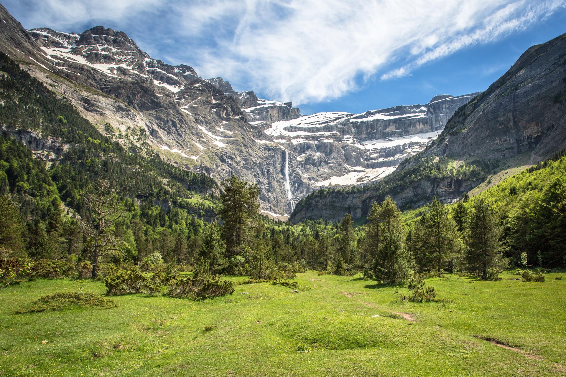
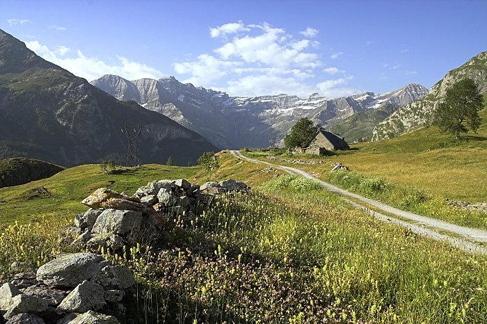
This walk to the Saugué plateau offers an original point of view on the Gavarnie circus, far from the crowds.

Already more than 200,000 users!
Uphill
495m
Highest point
1669m
Downhill
495m
Lowest point
1290m
Route type
There and back
Download the map on your smartphone to save battery and rest assured to always keep access to the route, even without signal.
Includes IGN France and Swisstopo.
I indicate whether dogs are allowed or prohibited on this trail
From May to October
0 ratings
Also enjoy:

Already more than 200,000 users!