Uphill
537m
Length
7km
Duration
3h30min
Elev gain
537m
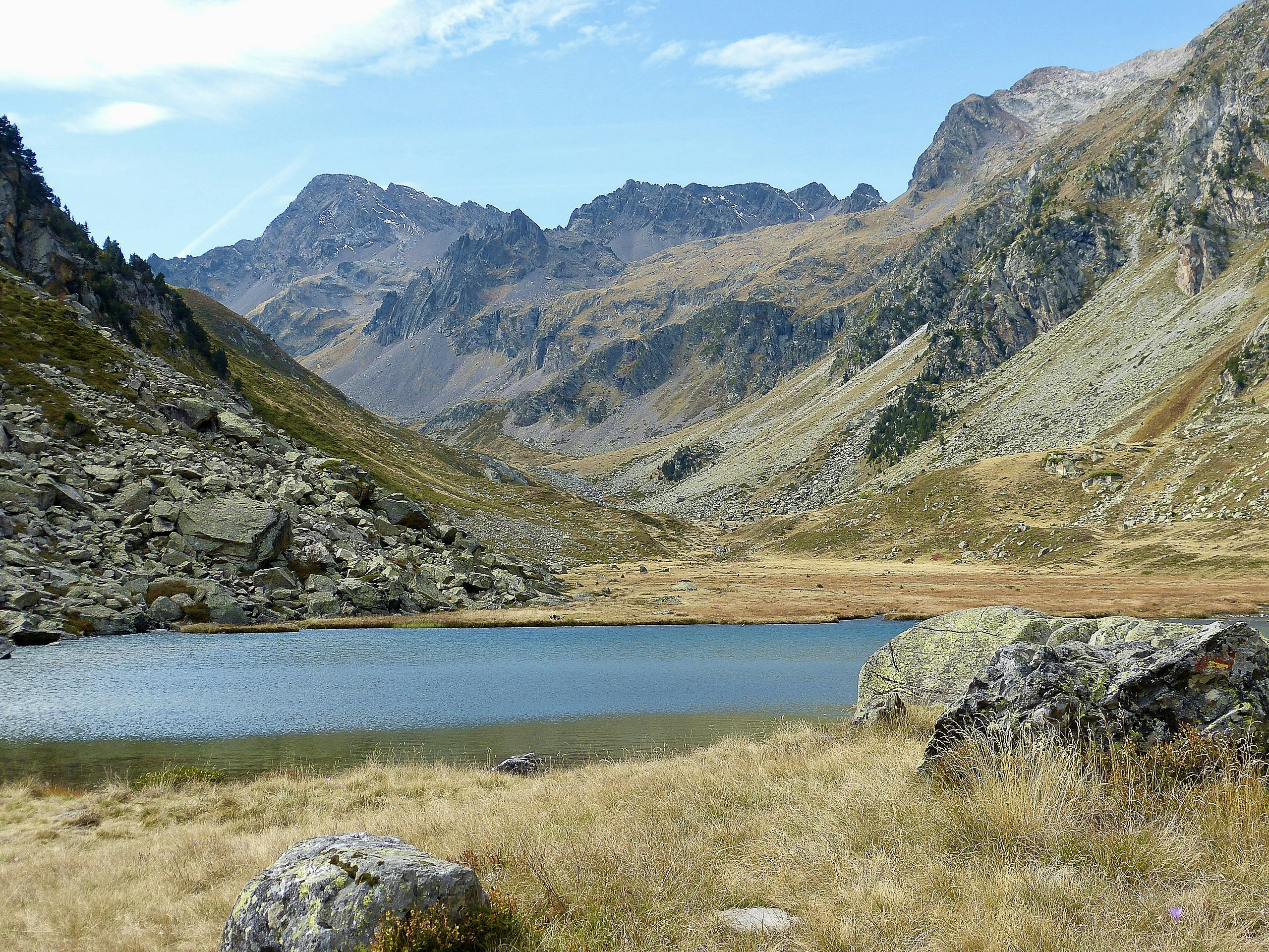
Pleasant hike that leads to the pretty glacial lake of Cestrède, at 1,964 meters above sea level. The climb is steady and passes by the pretty Soutarra waterfall. Once at the top, the setting is magnificent.

Already more than 200,000 users!
Uphill
537m
Highest point
1966m
Downhill
537m
Lowest point
1432m
Route type
There and back
Download the map on your smartphone to save battery and rest assured to always keep access to the route, even without signal.
Includes IGN France and Swisstopo.
I indicate whether dogs are allowed or prohibited on this trail
From May to October
1 rating
Also enjoy:

Already more than 200,000 users!


