Uphill
770m
Length
10km
Duration
5h30min
Elev gain
770m
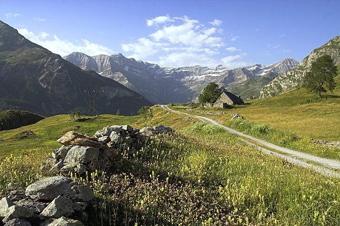
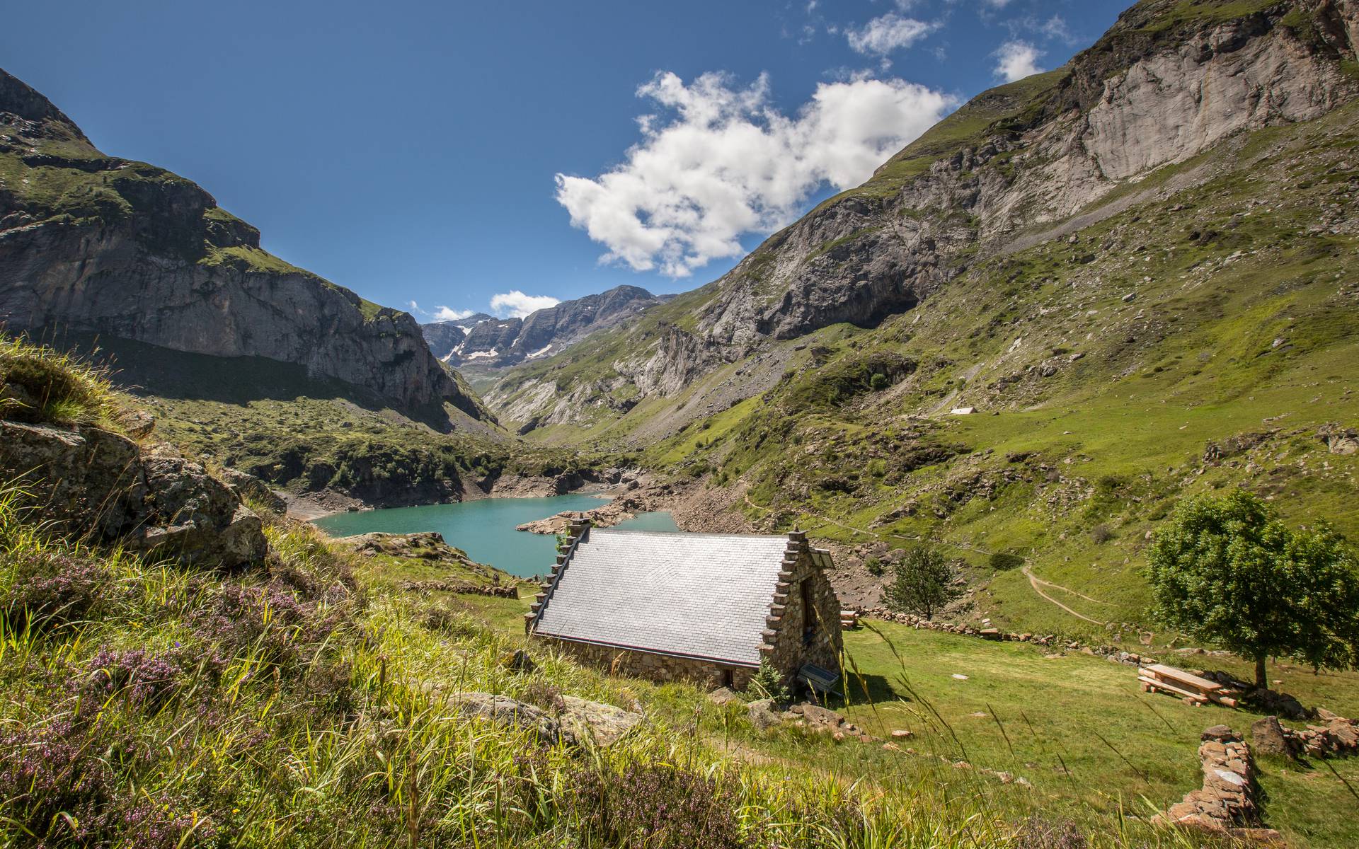
Departing from Gèdre, this trail begins with a steep climb in the forest, before reaching a plateau leading to Lac des Gloriettes.
The return is made by the same path.

Already more than 200,000 users!
Uphill
770m
Highest point
1760m
Downhill
770m
Lowest point
1085m
Route type
There and back
Download the map on your smartphone to save battery and rest assured to always keep access to the route, even without signal.
Includes IGN France and Swisstopo.
I indicate whether dogs are allowed or prohibited on this trail
From May to October
1 rating
Le début de la balade est très costaud !! Ça grimpe dur en lacets, avec près de 700 mètres de dénivelé d’un coup 😅
On atteint ensuite un plateau bucolique, en surplomb du gave de Héas, jusqu’au joli lac des Gloriettes.
Also enjoy:

Already more than 200,000 users!