Uphill
301m

Length
12km
Duration
3h30min
Elev gain
301m
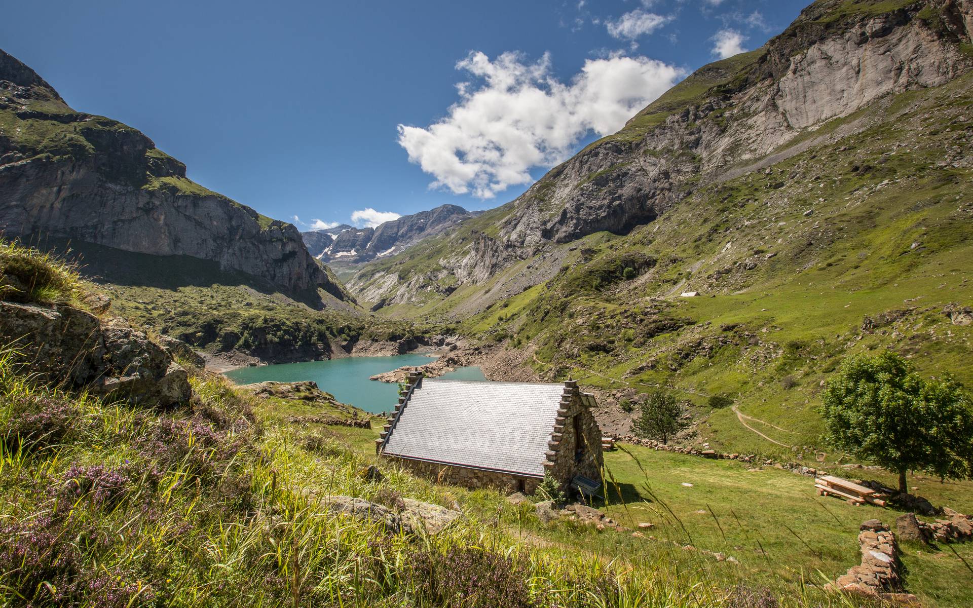
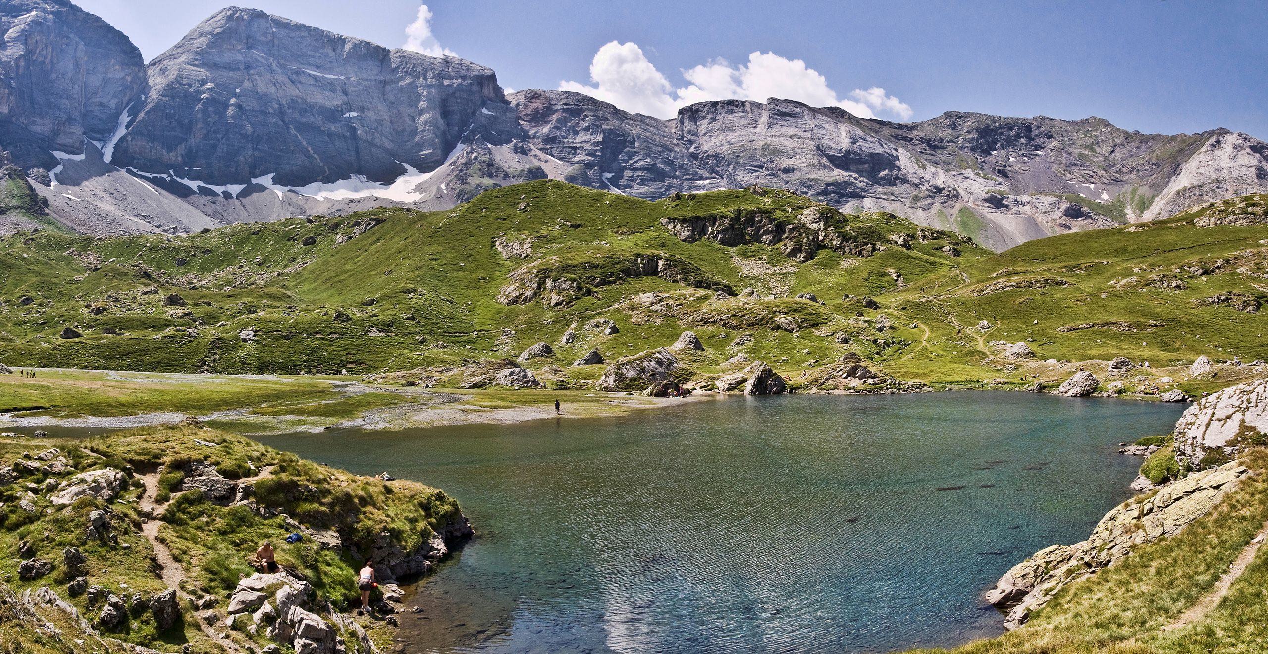
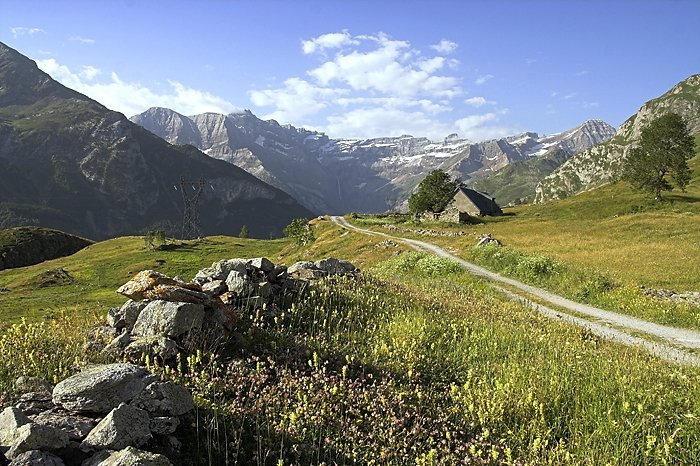
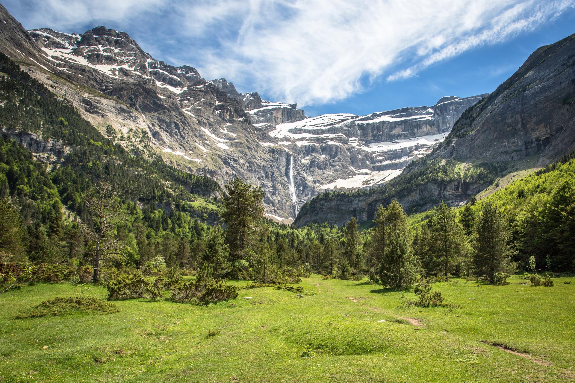
Less crowded than its neighbor in Gavarnie, this cirque offers magnificent landscapes and numerous waterfalls.

Already more than 200,000 users!
Uphill
301m
Highest point
1825m
Downhill
301m
Lowest point
1640m
Route type
There and back
Download the map on your smartphone to save battery and rest assured to always keep access to the route, even without signal.
Includes IGN France and Swisstopo.
I indicate whether dogs are allowed or prohibited on this trail
From May to October
3 ratings
J’ai adoré ce cirque pour une raison simple : j’ai rarement vu autant d’animaux lors d’une randonnée ! C’était en juin, et entre des moutons, marmottes, vaches, et chamois, on a été servis.
Also enjoy:

Already more than 200,000 users!