Uphill
703m

Length
10km
Duration
5h
Elev gain
703m
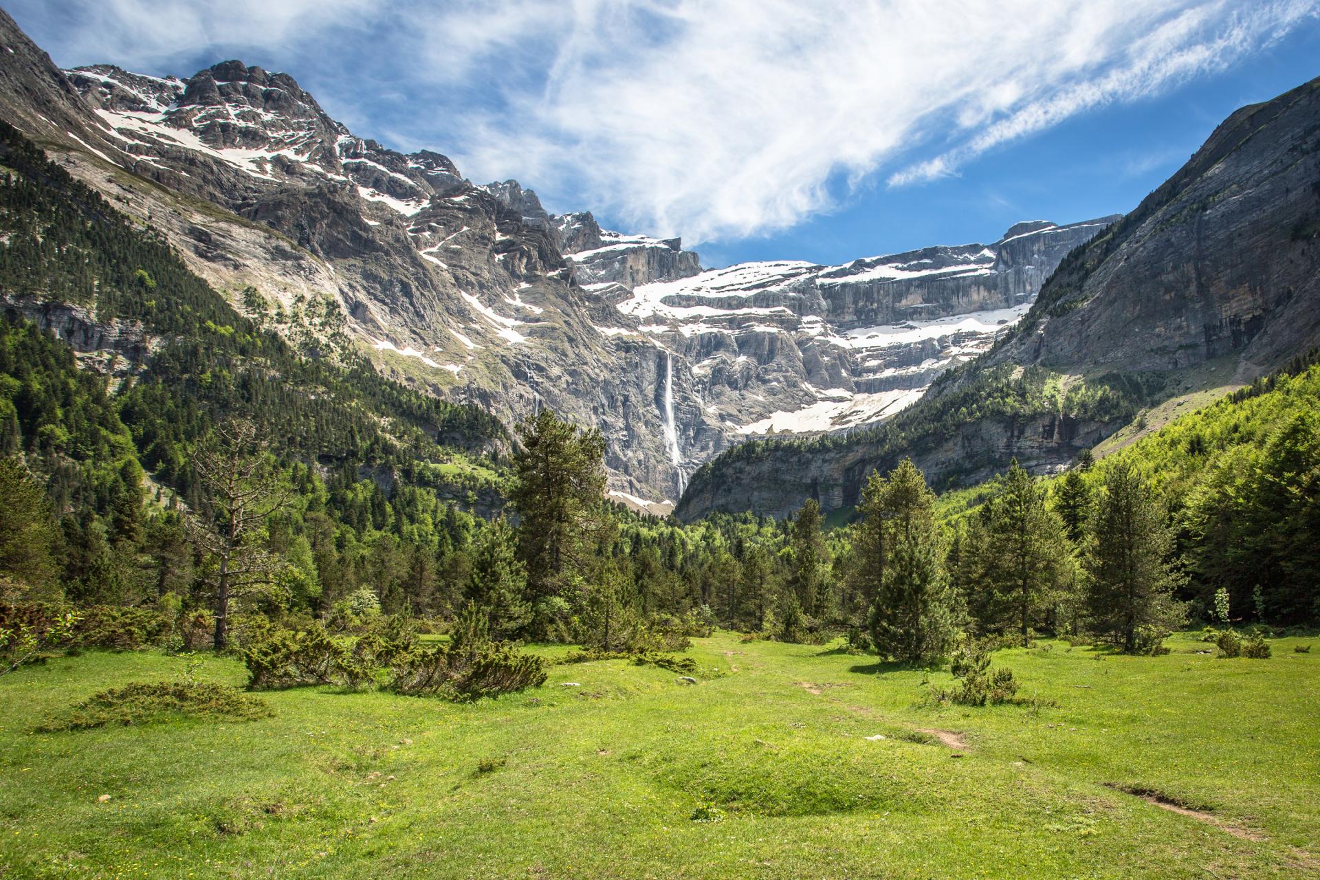
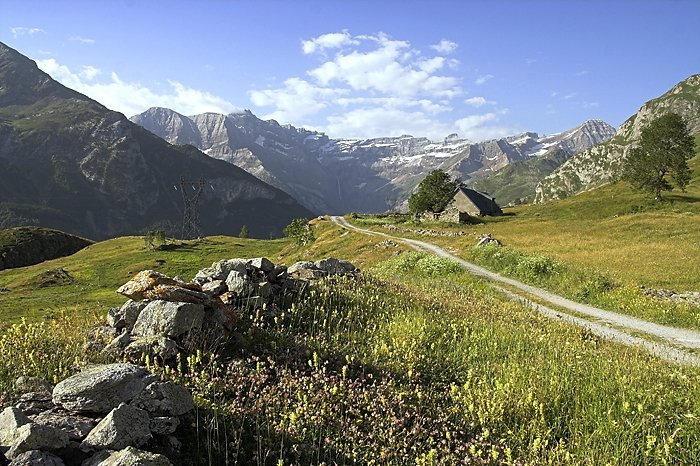
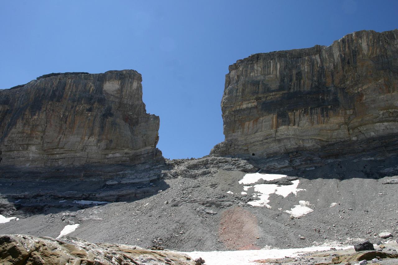
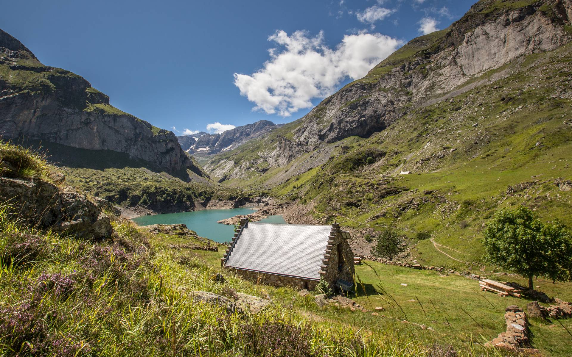
Rather than making the round trip to the Gavarnie waterfall by the traditional path, this circuit allows you to discover the magnificent circus by taking a little height. The path is more demanding there, but you are rewarded by the less frequentation and the variety of landscapes encountered.

Already more than 200,000 users!
Uphill
703m
Highest point
1777m
Downhill
703m
Lowest point
1364m
Route type
Loop
Download the map on your smartphone to save battery and rest assured to always keep access to the route, even without signal.
Includes IGN France and Swisstopo.
6 ratings
Super balade ! On a bien suivi l’itinéraire Hika à l’aller, en empruntant les corniches jusqu’à la fameuse cascade. En revanche pour le retour, on a évité le sentier principal, très fréquenté, et on a aussi emprunté des corniches en surplomb, côté ouest du cirque.
Also enjoy:

Already more than 200,000 users!