Uphill
32m
Length
3km
Duration
1h
Elev gain
32m
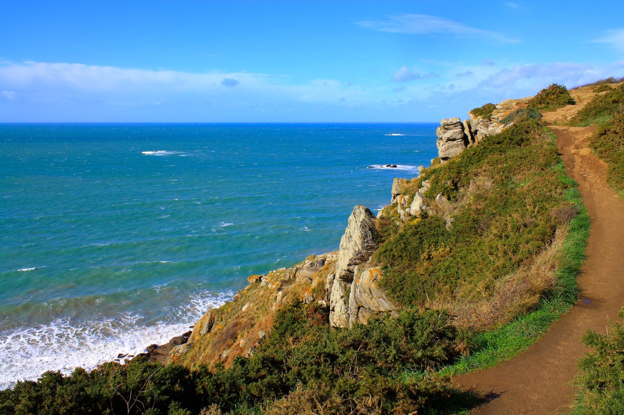
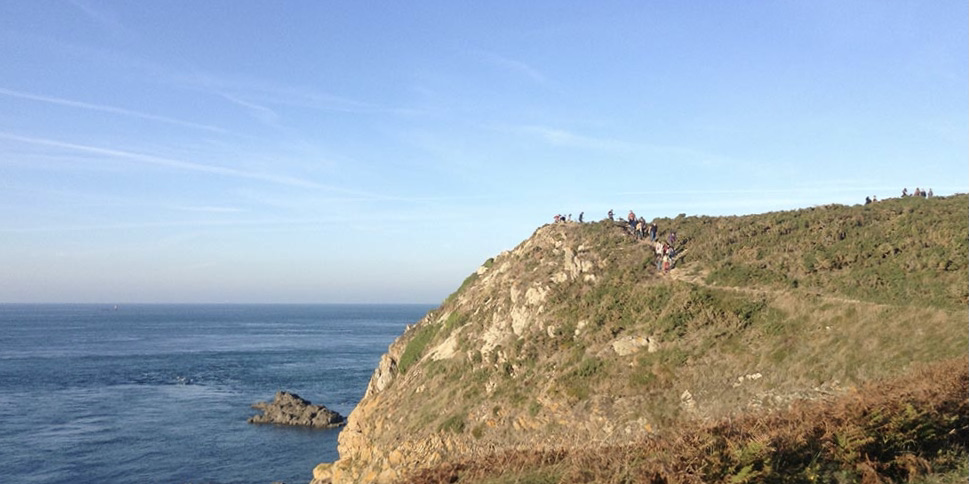
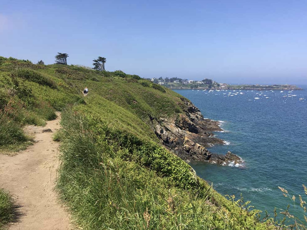
Walk in the middle of ferns and brush, perched on top of cliffs and swept by the wind. A pleasant wild space facing Saint Lunaire.

Already more than 200,000 users!
Uphill
32m
Highest point
35m
Downhill
32m
Lowest point
8m
Route type
Loop
Download the map on your smartphone to save battery and rest assured to always keep access to the route, even without signal.
Includes IGN France and Swisstopo.
I indicate whether dogs are allowed or prohibited on this trail
All year
0 ratings
Also enjoy:

Already more than 200,000 users!