Uphill
208m

Length
14km
Duration
4h
Elev gain
208m
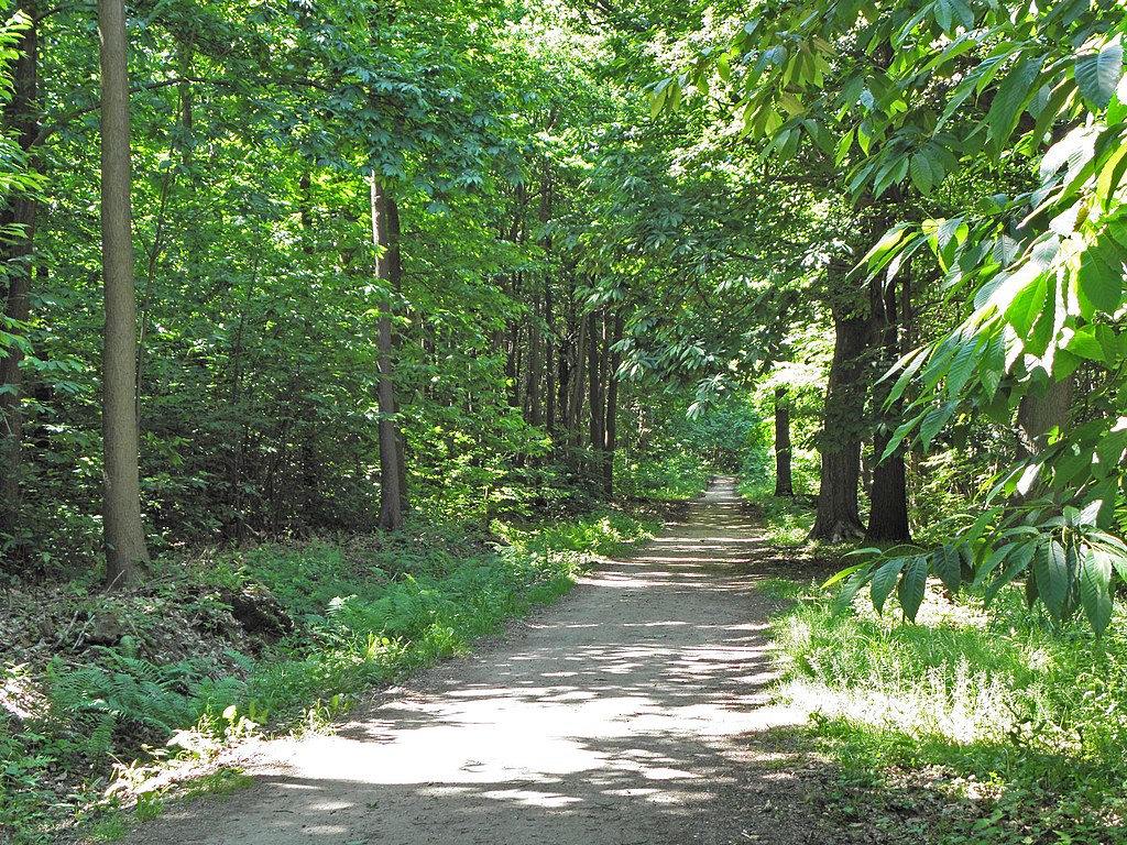
Departing from Lyvet, this route descends along the Rance via a path bordered by fields and undergrowth.
The arrival in Dinan is magical with medieval houses facing the river.

Already more than 200,000 users!
Uphill
208m
Highest point
62m
Downhill
208m
Lowest point
8m
Route type
Loop
Download the map on your smartphone to save battery and rest assured to always keep access to the route, even without signal.
Includes IGN France and Swisstopo.
I indicate whether dogs are allowed or prohibited on this trail
All year
2 ratings
Also enjoy:

Already more than 200,000 users!