Uphill
68m
Length
4km
Duration
1h
Elev gain
68m
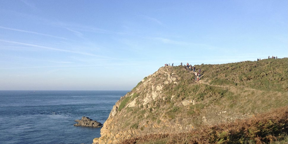
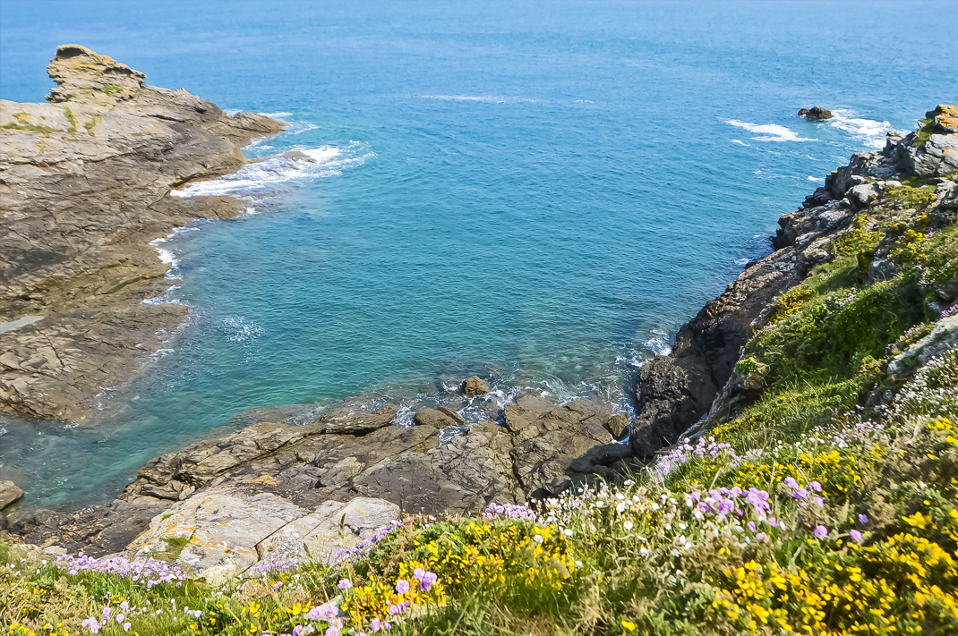
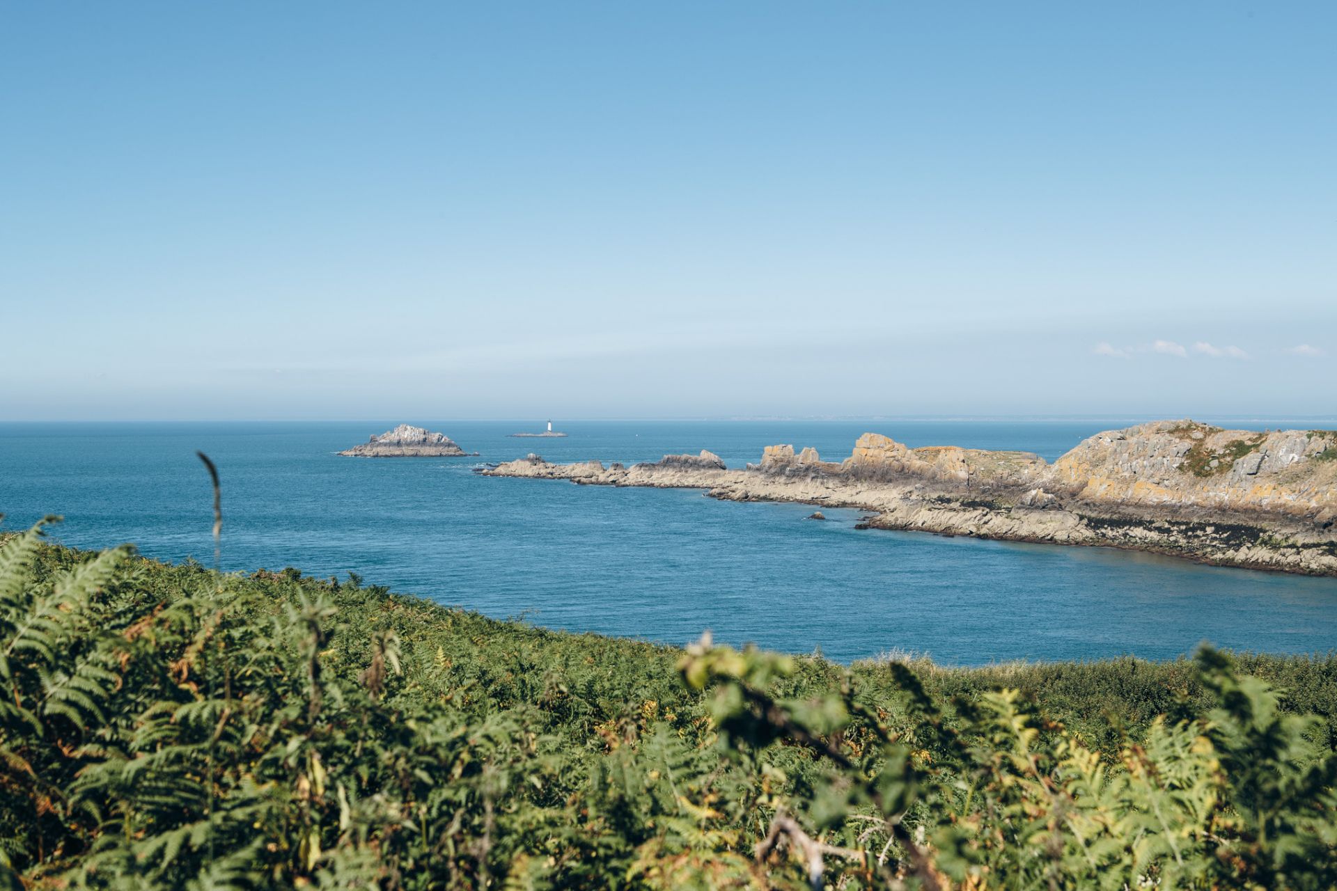
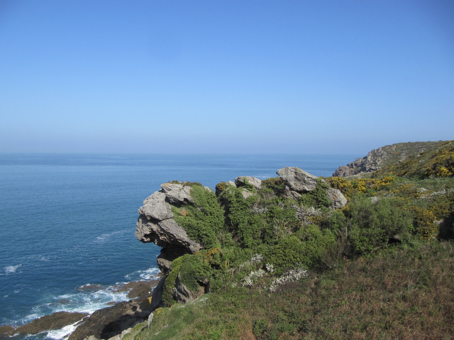
This is a walk to discover a rocky promontory, overlooking the sea from 46 meters and offering a panorama from Cap Fréhel to the tip of Grouin. A nice glimpse of the Emerald Coast, between Saint-Malo and Cancale.

Already more than 200,000 users!
Uphill
68m
Highest point
41m
Downhill
68m
Lowest point
0m
Route type
Loop
Download the map on your smartphone to save battery and rest assured to always keep access to the route, even without signal.
Includes IGN France and Swisstopo.
3 ratings
Also enjoy:

Already more than 200,000 users!