Uphill
143m
Length
8km
Duration
2h30min
Elev gain
143m
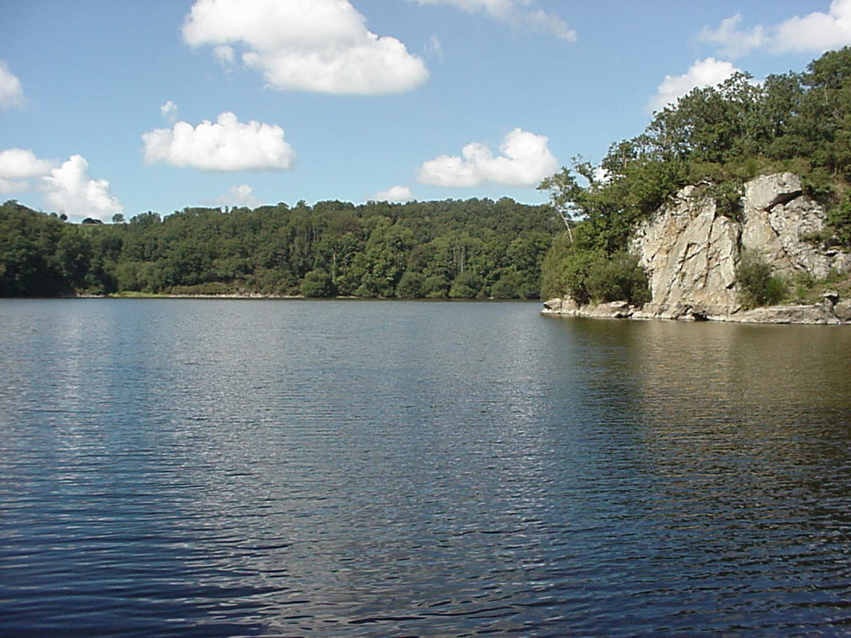
The Arguenon reservoir is due to a dam on the river of the same name. The wooded and steep banks offer a beautiful setting for a stroll.

Already more than 200,000 users!
Uphill
143m
Highest point
55m
Downhill
143m
Lowest point
18m
Route type
Loop
Download the map on your smartphone to save battery and rest assured to always keep access to the route, even without signal.
Includes IGN France and Swisstopo.
I indicate whether dogs are allowed or prohibited on this trail
All year
1 rating
Plutôt 9km. Petites montées et descentes très calme
Also enjoy:

Already more than 200,000 users!