Uphill
508m
Length
16km
Duration
5h30min
Elev gain
508m
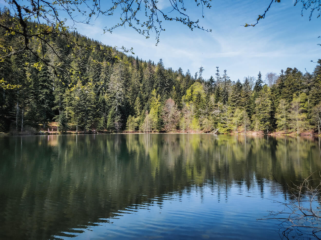
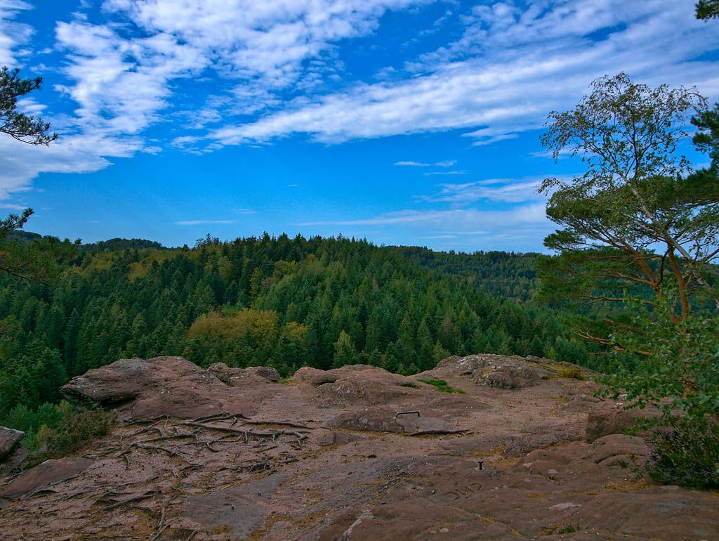
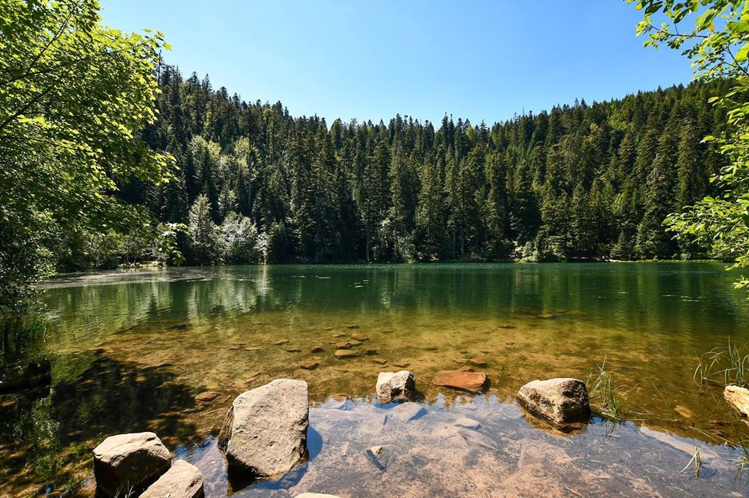
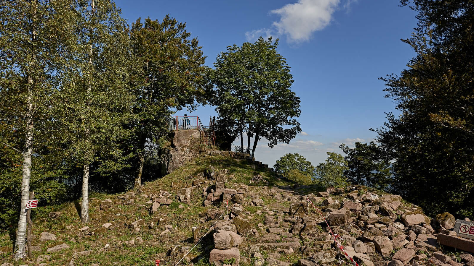
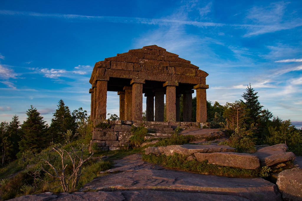
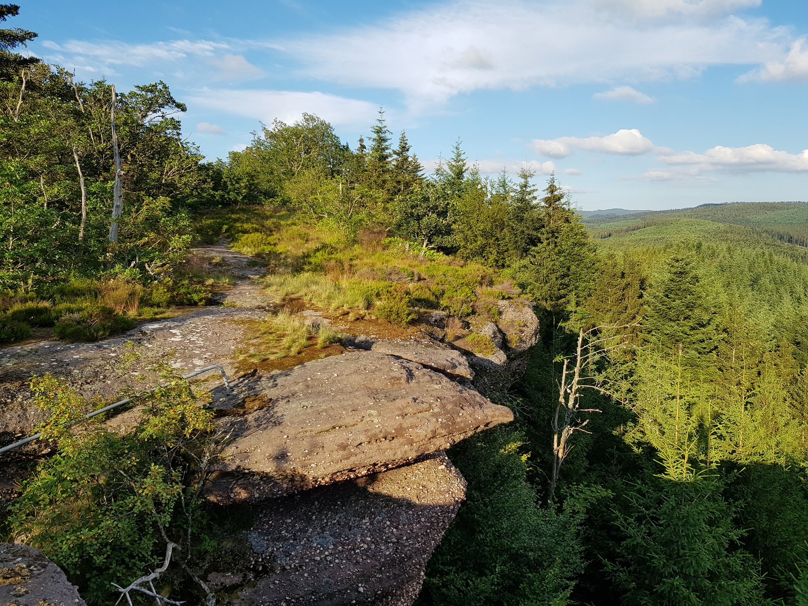
Here is a hike to Grand Rougimont. The path passes by the ruins of the castle of Turquestein and by the Roche aux Fées, and offers a nice view from the top of the Grand Rougimont
Note that this route mainly takes wide forest tracks.

Already more than 200,000 users!
Uphill
508m
Highest point
619m
Downhill
508m
Lowest point
298m
Route type
Loop
Download the map on your smartphone to save battery and rest assured to always keep access to the route, even without signal.
Includes IGN France and Swisstopo.
I indicate whether dogs are allowed or prohibited on this trail
All year
0 ratings
Also enjoy:

Already more than 200,000 users!