Uphill
437m
Length
16km
Duration
5h
Elev gain
437m
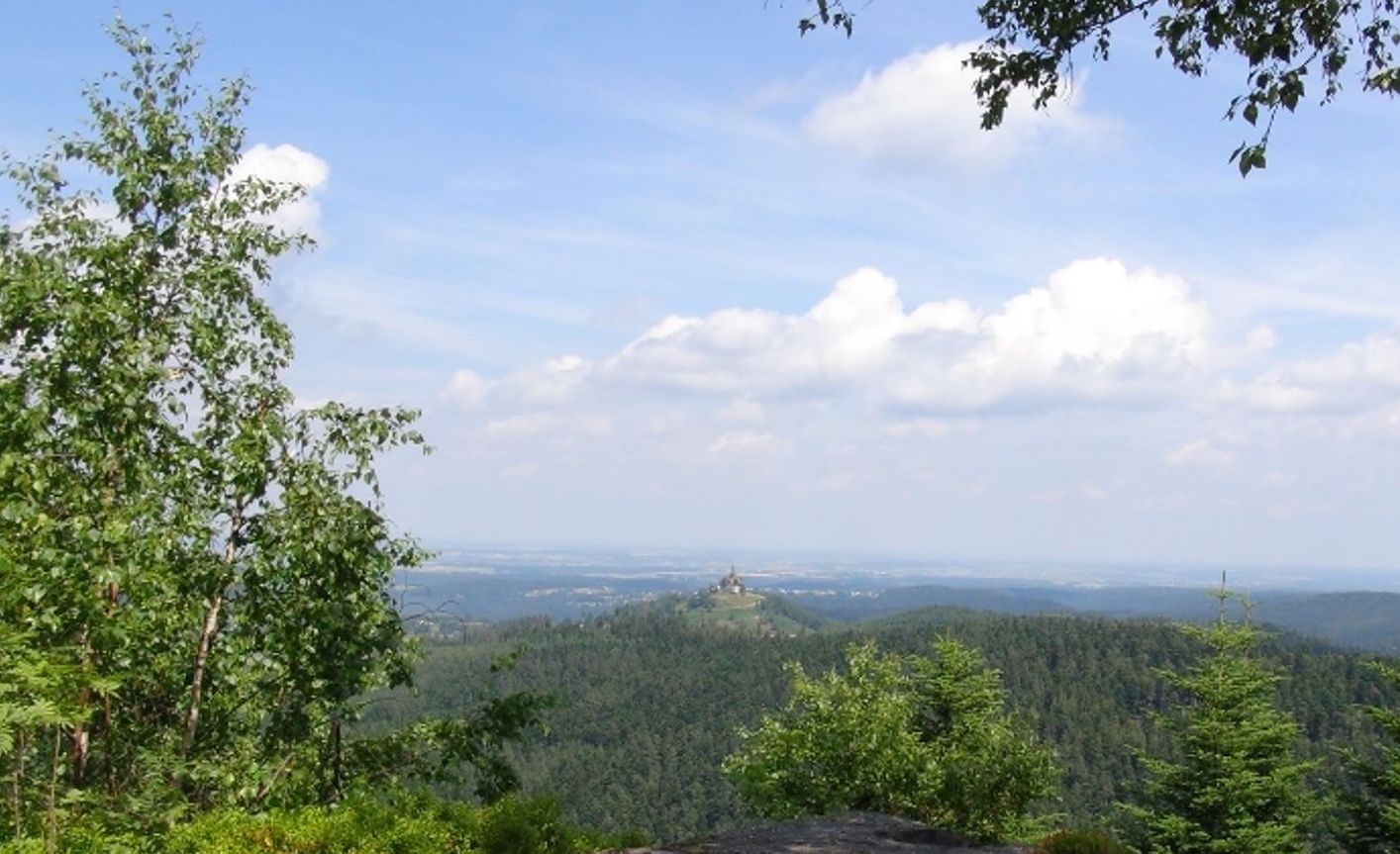
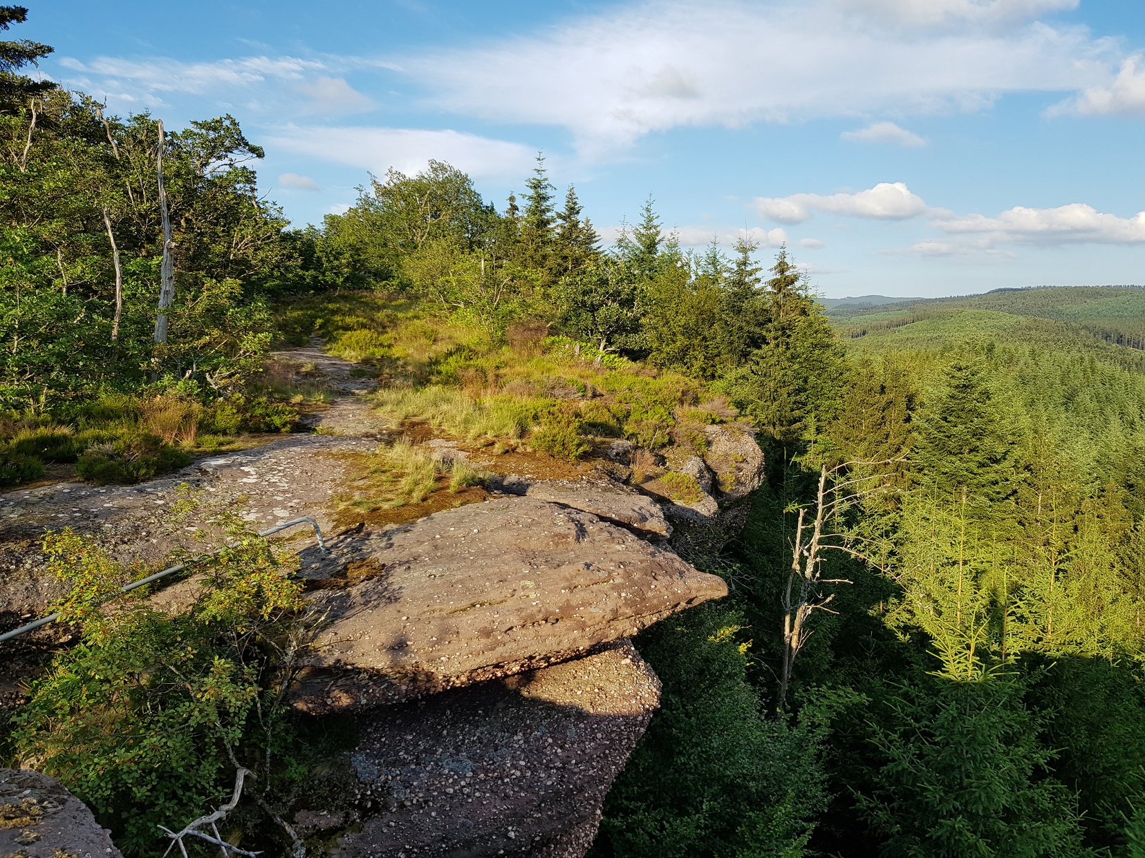
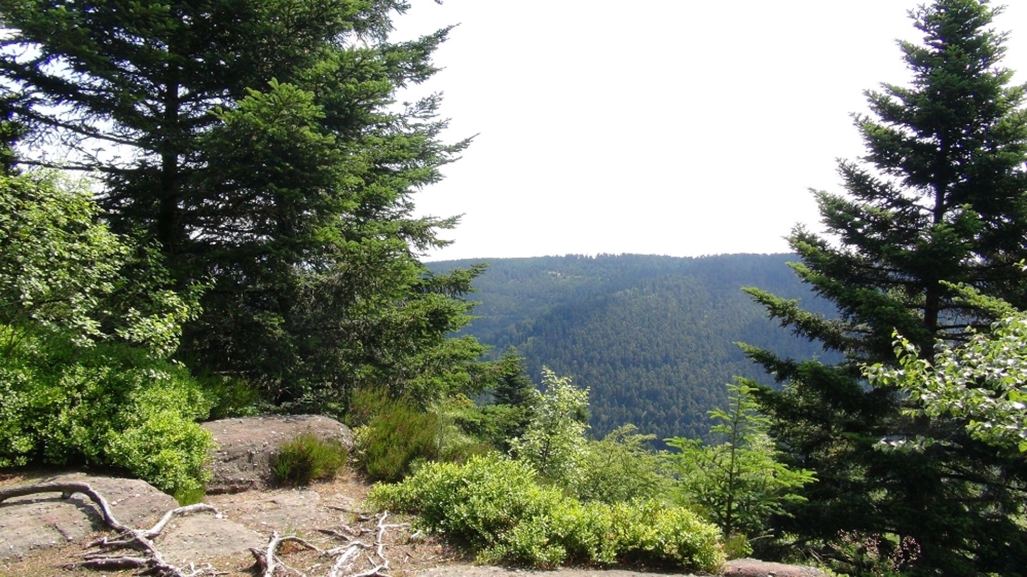
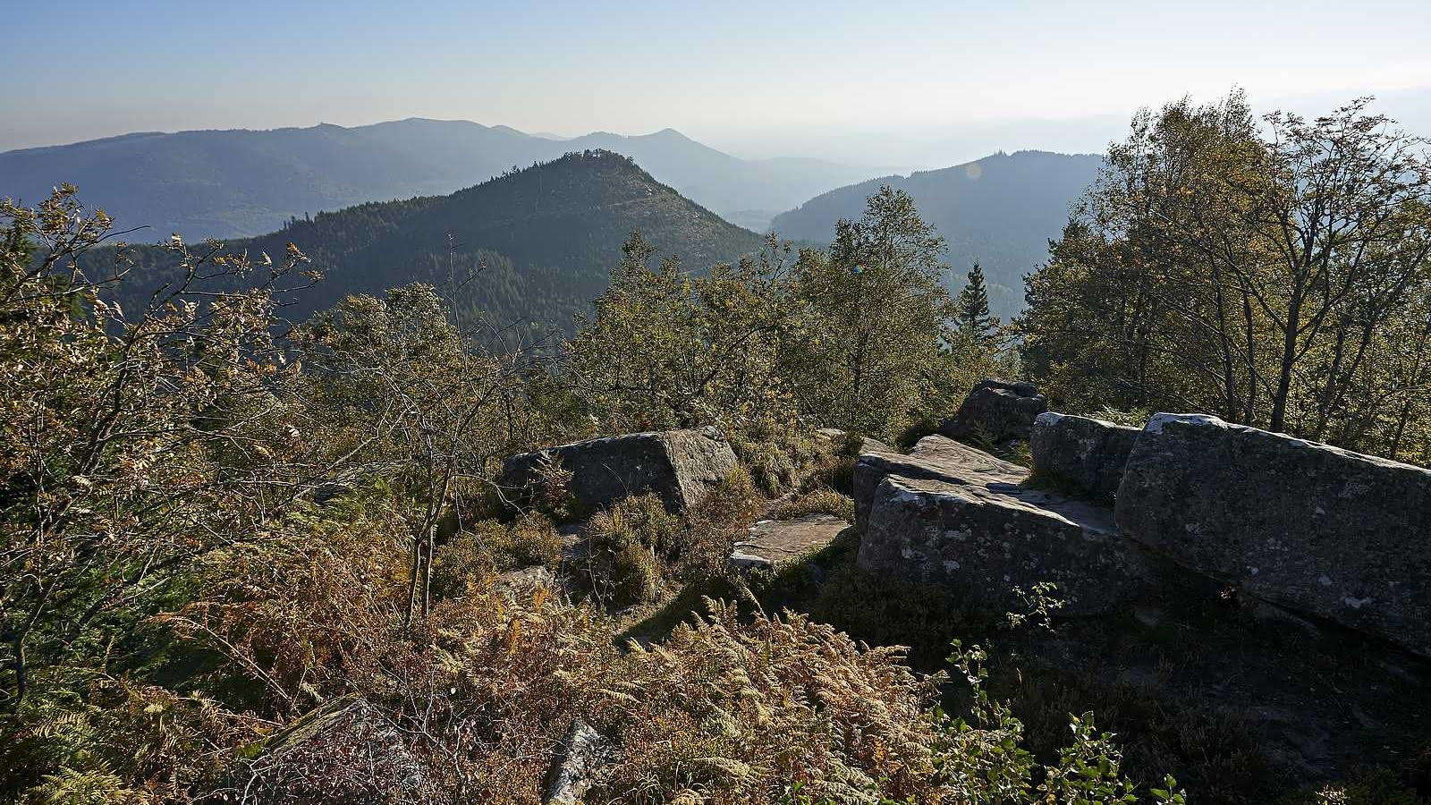
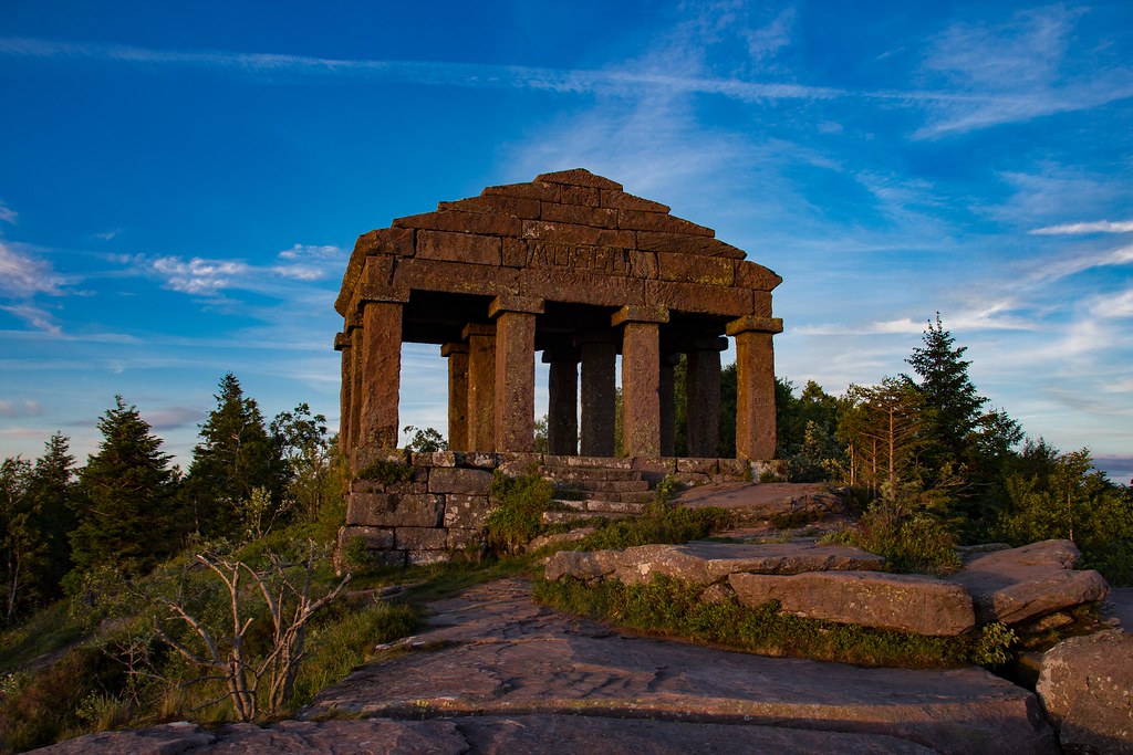
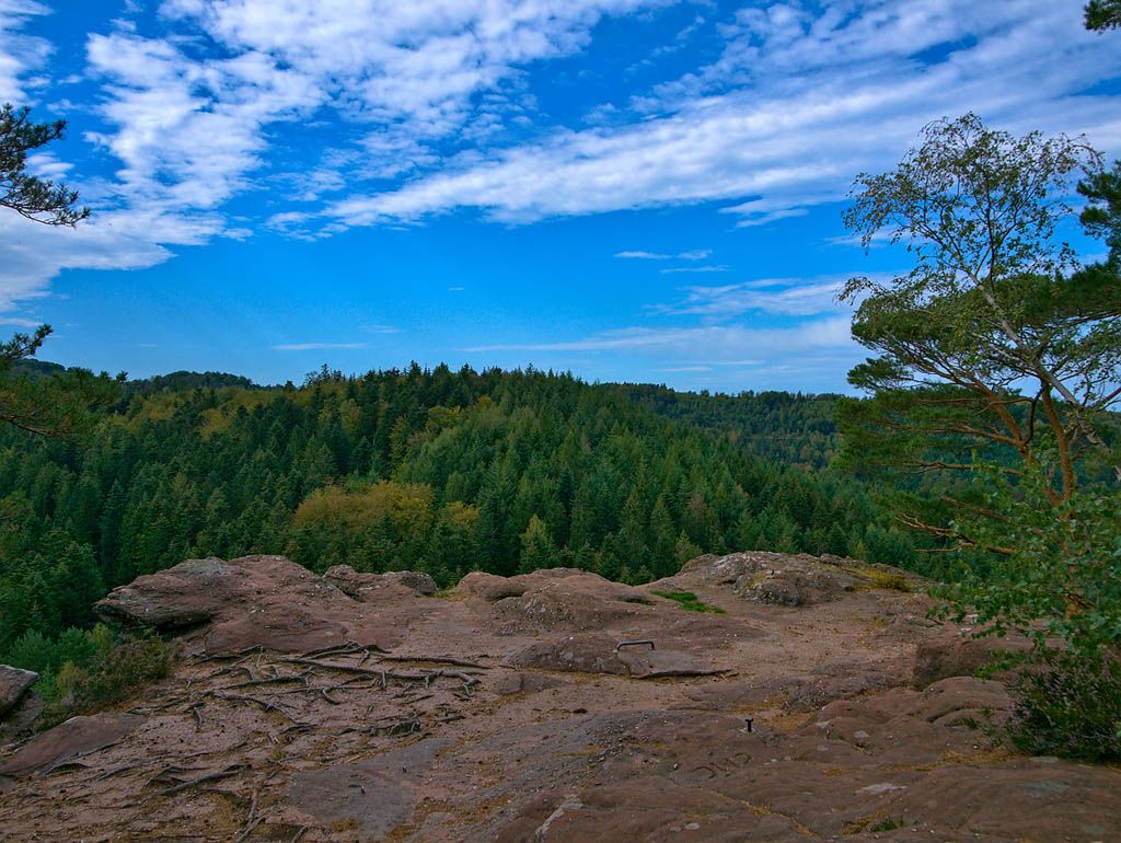
Here is a sporty hike on the side of Walscheid. The route makes a nice loop and offers many points of view. Here is what you will discover: Hohwalsch rock, ruins of the Heidenschloss castle, Durrenberg promontory, and cave of Saint Léon.

Already more than 200,000 users!
Uphill
437m
Highest point
569m
Downhill
437m
Lowest point
325m
Route type
Loop
Download the map on your smartphone to save battery and rest assured to always keep access to the route, even without signal.
Includes IGN France and Swisstopo.
I indicate whether dogs are allowed or prohibited on this trail
All year
0 ratings
Also enjoy:

Already more than 200,000 users!