Uphill
502m
Length
18km
Duration
5h30min
Elev gain
502m
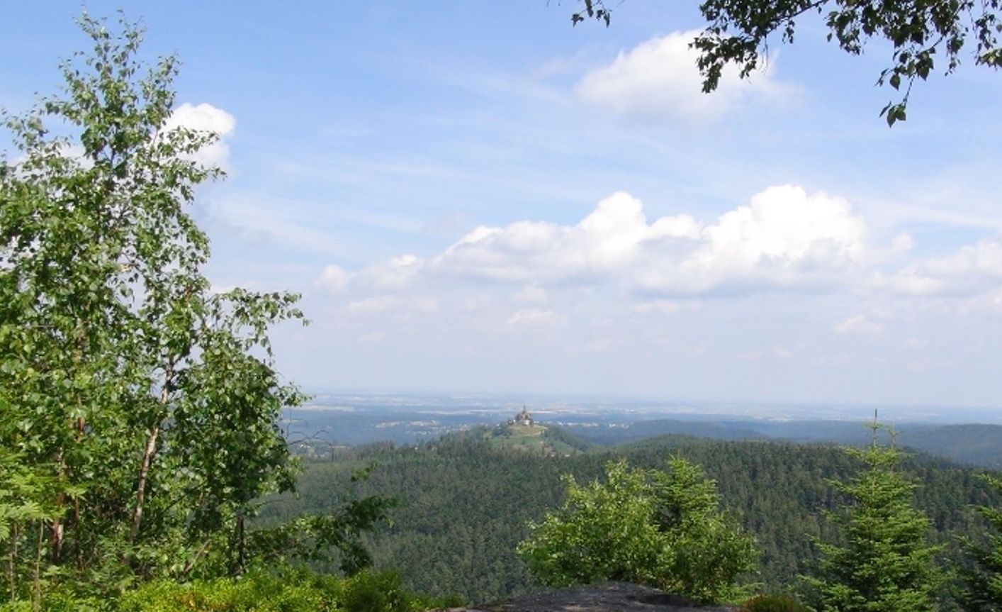
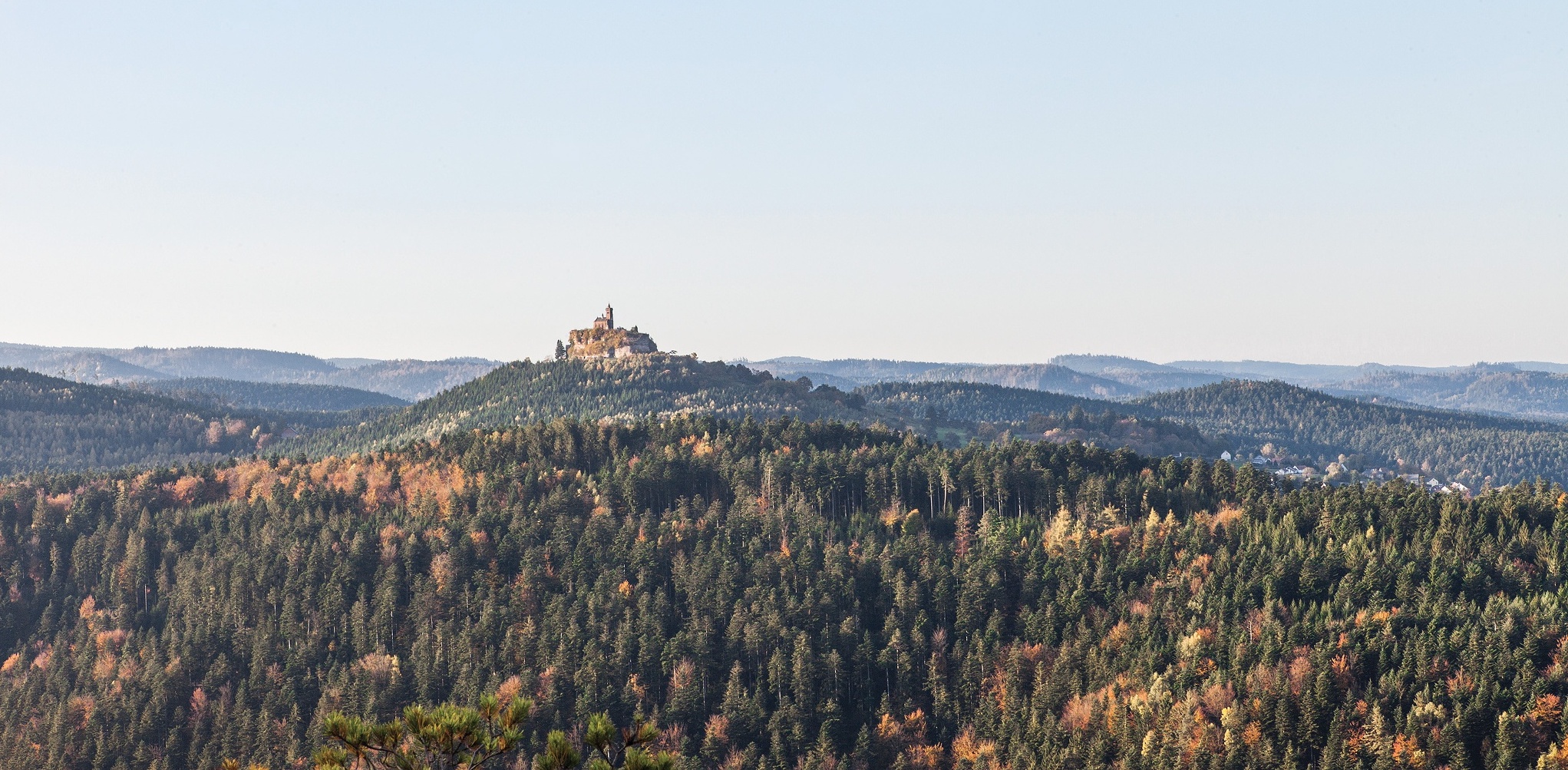
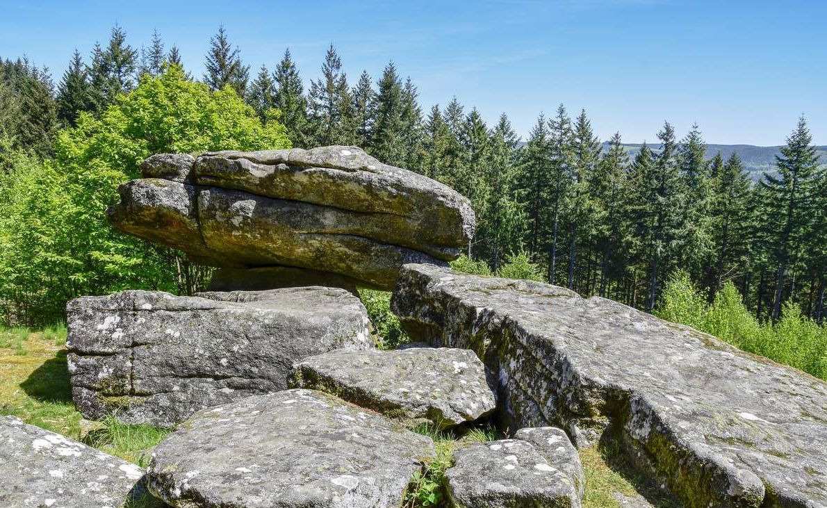
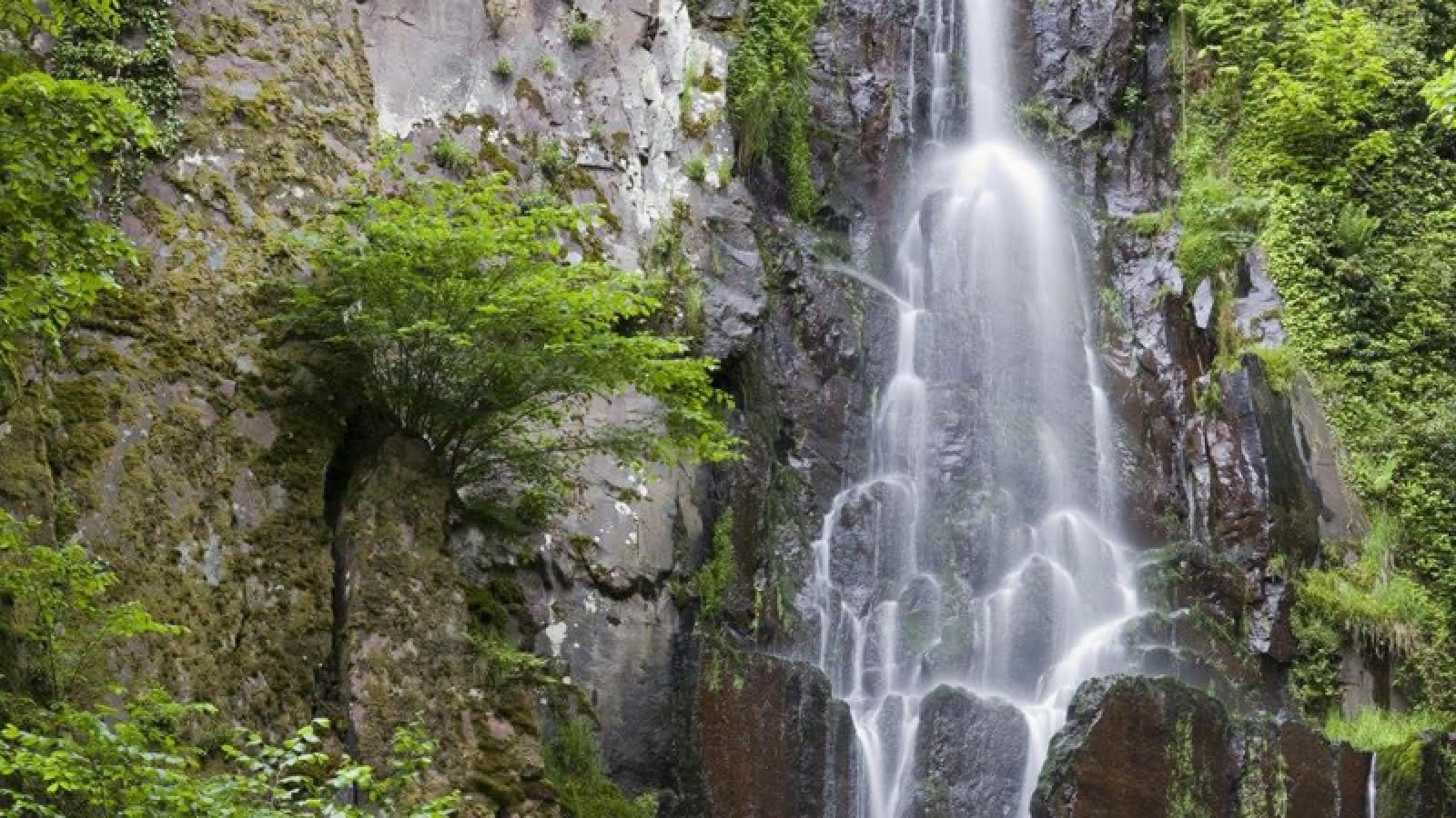
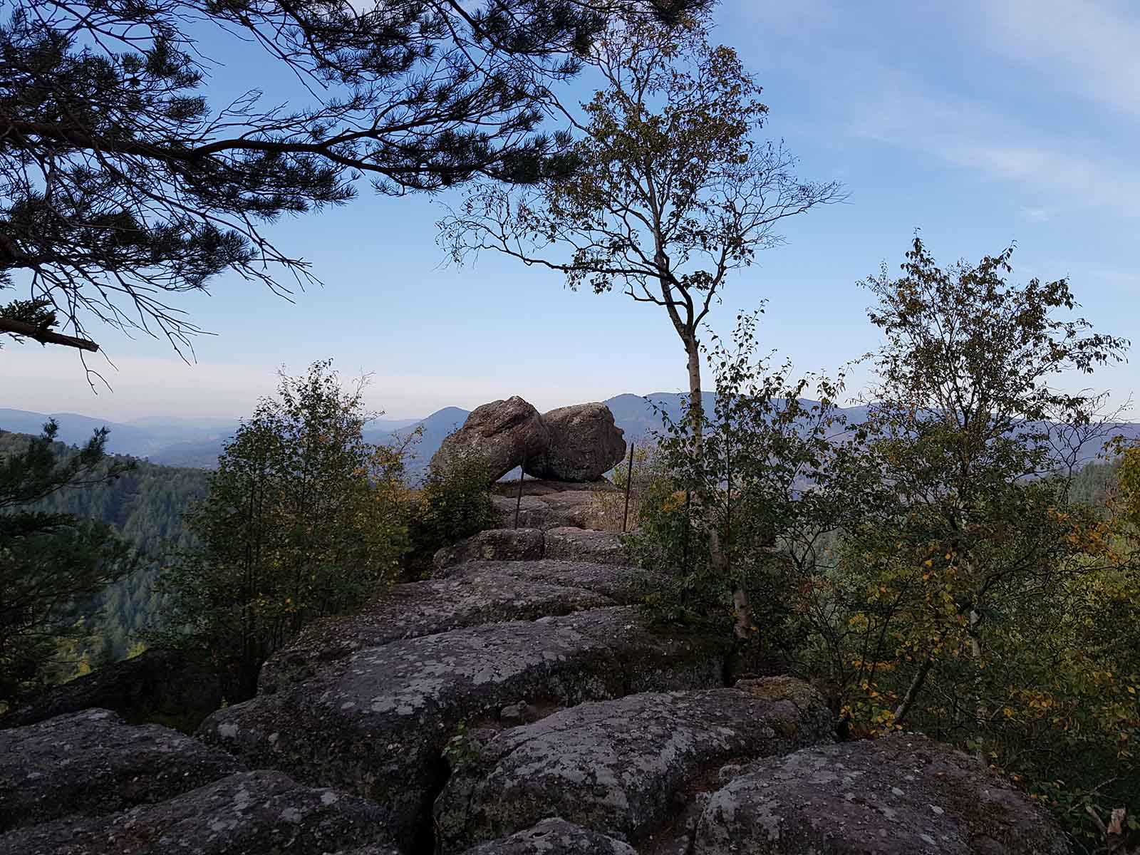
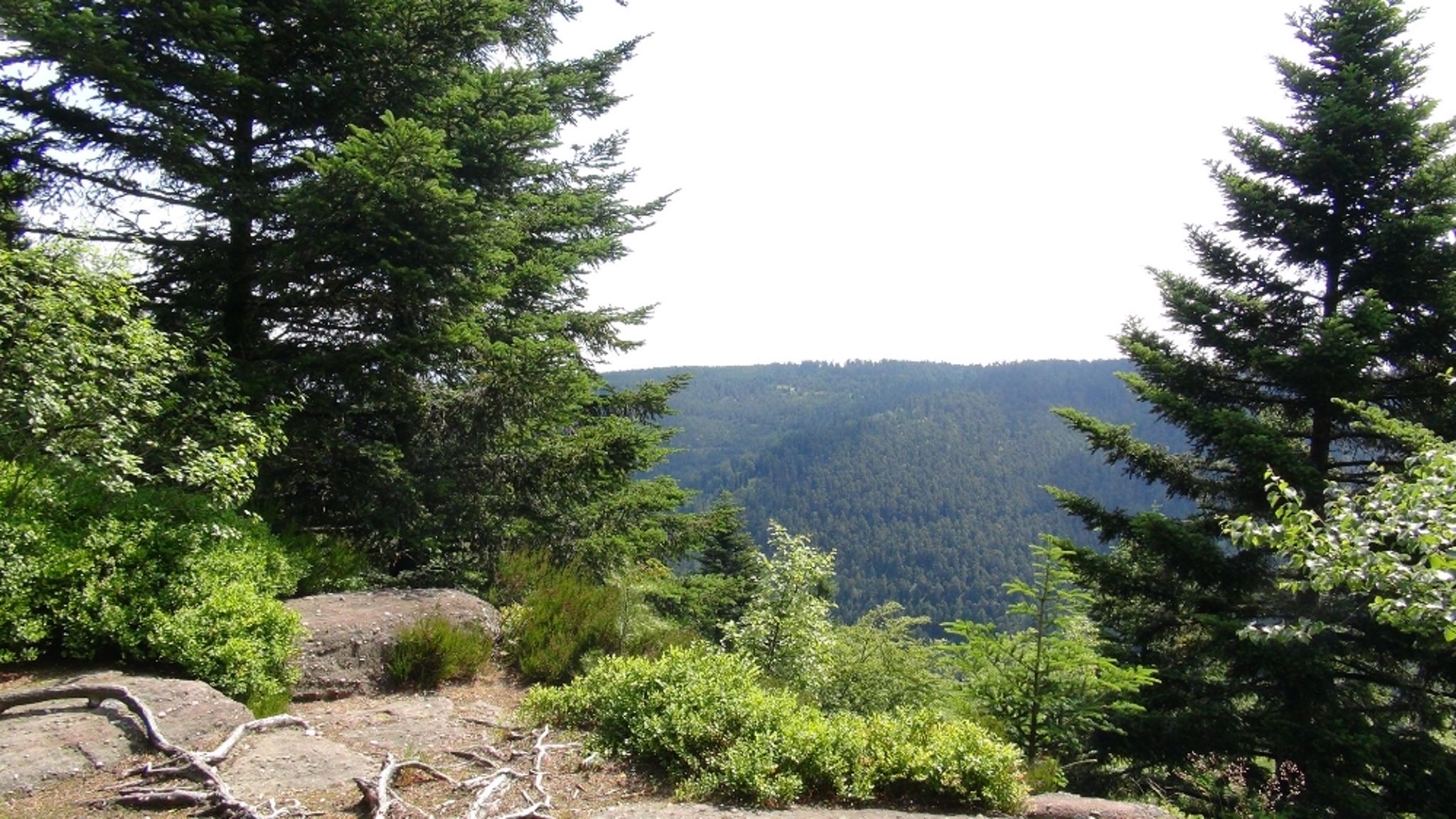
Departing from Dabo, this loop allows you to take a closer look at the famous rock of the same name. Walk mainly in the forest, passing by the very pretty picnic area of the col de la Schleif.

Already more than 200,000 users!
Uphill
502m
Highest point
749m
Downhill
502m
Lowest point
472m
Route type
Loop
Download the map on your smartphone to save battery and rest assured to always keep access to the route, even without signal.
Includes IGN France and Swisstopo.
Car park at the starting point of the hike, in front of the Zollstock restaurant.
I indicate whether dogs are allowed or prohibited on this trail
All year
0 ratings
Also enjoy:

Already more than 200,000 users!