Uphill
323m
Length
7km
Duration
2h30min
Elev gain
323m
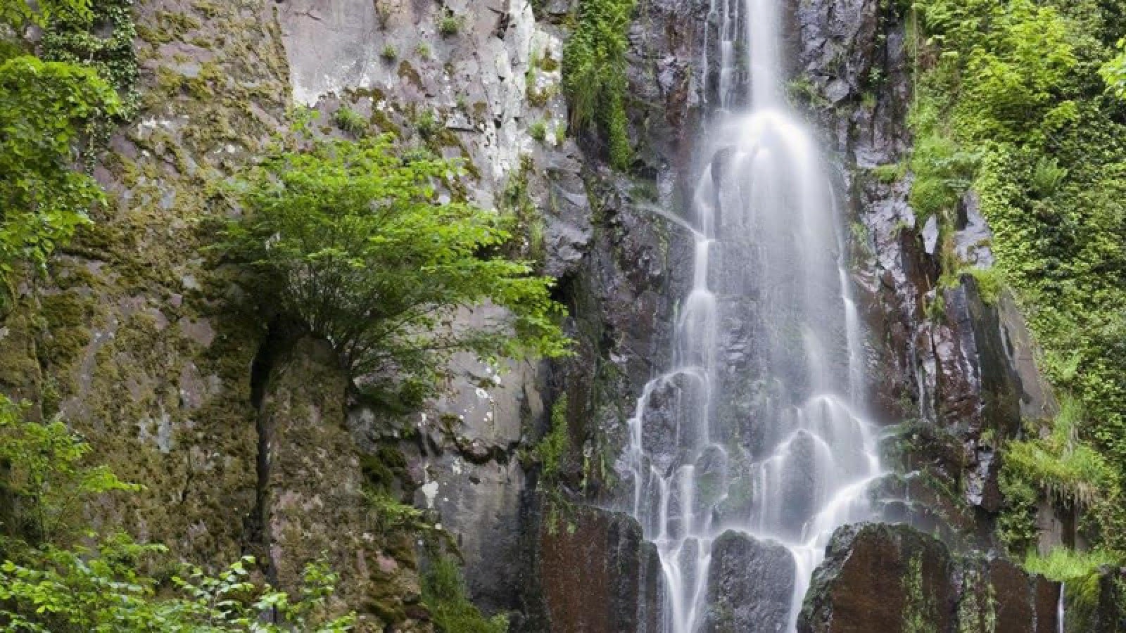
Loop trail passing by the pretty Nideck waterfall, 25 meters high and tumbling down a wall of volcanic rock. The path then continues through the ruins of Nideck castle, remains from the Middle Ages.

Already more than 200,000 users!
Uphill
323m
Highest point
619m
Downhill
323m
Lowest point
343m
Route type
Loop
Download the map on your smartphone to save battery and rest assured to always keep access to the route, even without signal.
Includes IGN France and Swisstopo.
I indicate whether dogs are allowed or prohibited on this trail
All year
5 ratings
Also enjoy:

Already more than 200,000 users!


