Uphill
819m
Length
17km
Duration
6h30min
Elev gain
819m
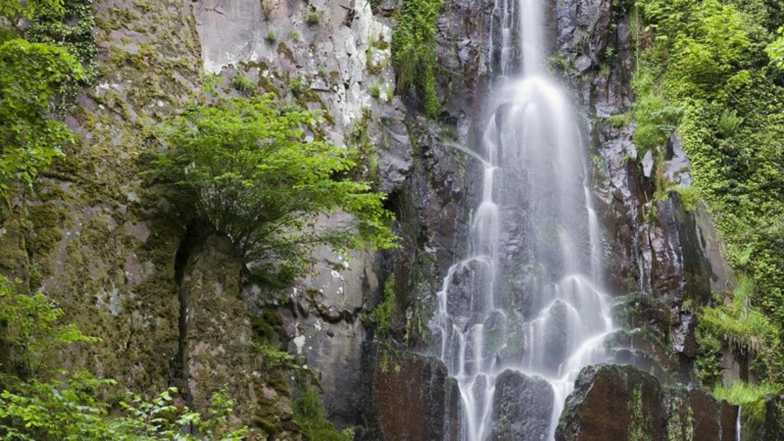
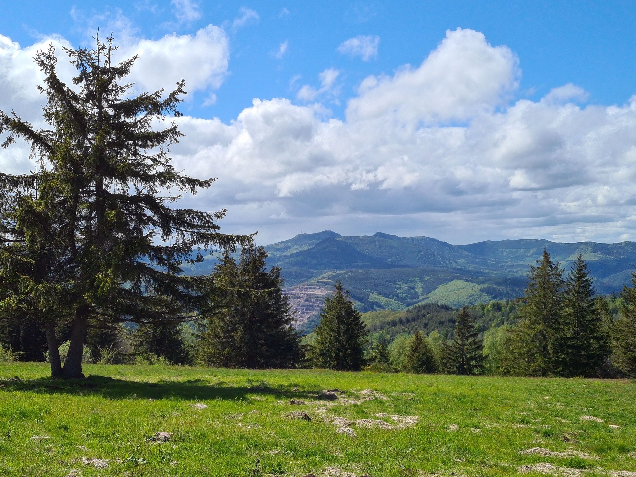
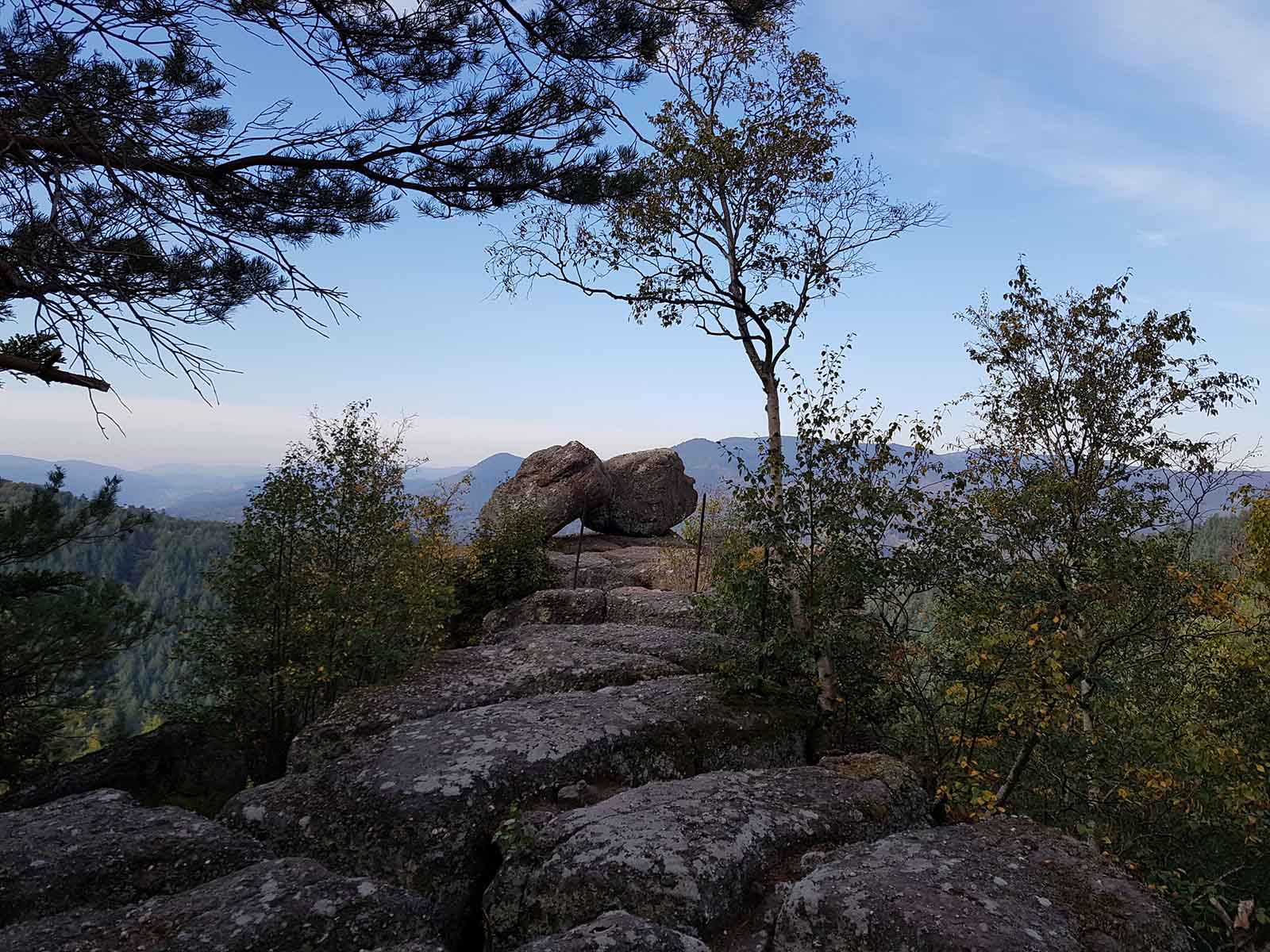
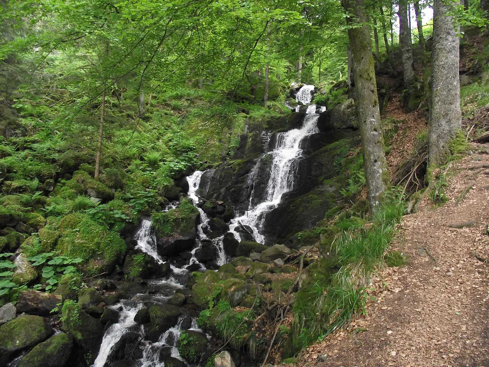
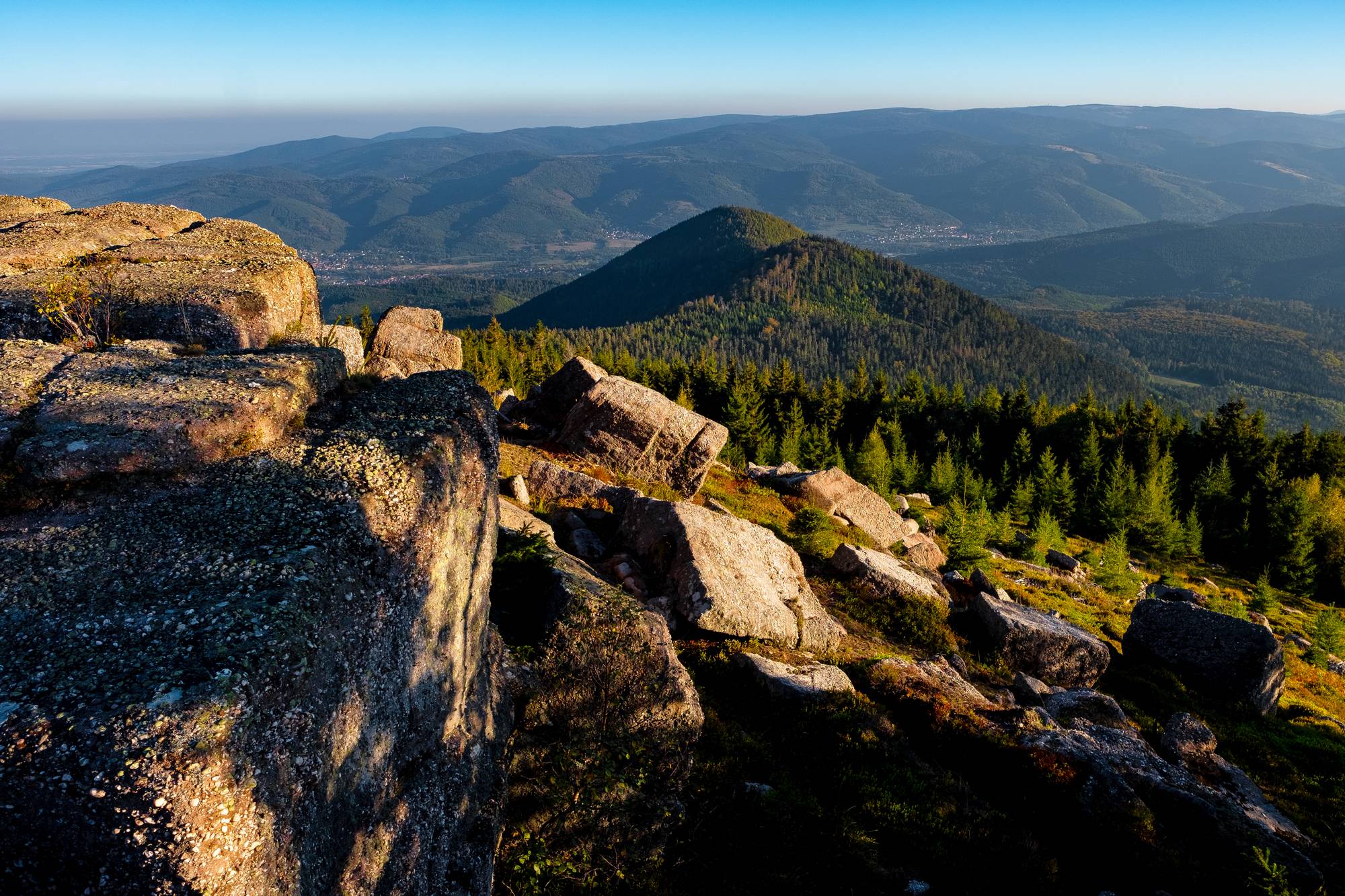
This is a hike leading to the rock of Mutzig (1,009 m), which offers a beautiful view of the Bruche valley, of which it is the highest point.
The forest trail also passes through the small Katzenberg (903 m).

Already more than 200,000 users!
Uphill
819m
Highest point
1011m
Downhill
819m
Lowest point
346m
Route type
Loop
Download the map on your smartphone to save battery and rest assured to always keep access to the route, even without signal.
Includes IGN France and Swisstopo.
I indicate whether dogs are allowed or prohibited on this trail
Can be difficult in Winter
2 ratings
Also enjoy:

Already more than 200,000 users!