Uphill
634m
Length
13km
Duration
5h
Elev gain
634m
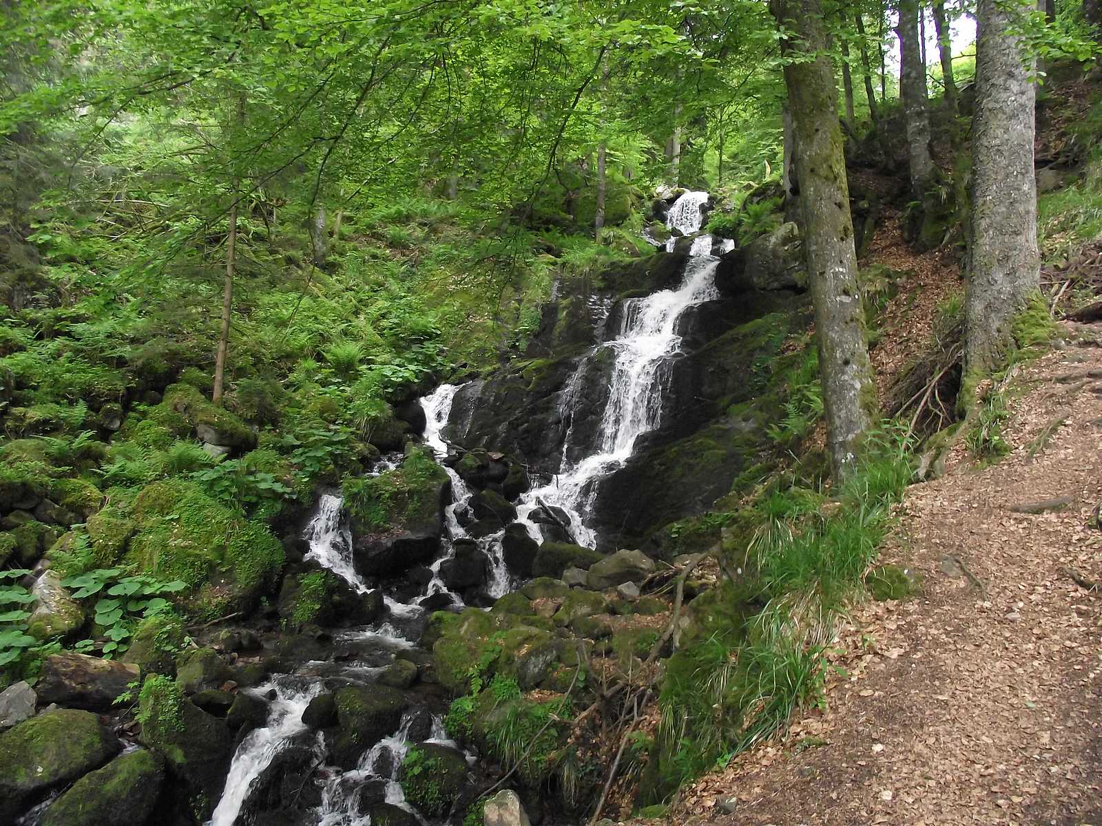
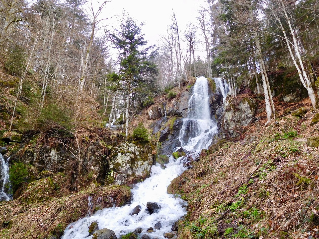
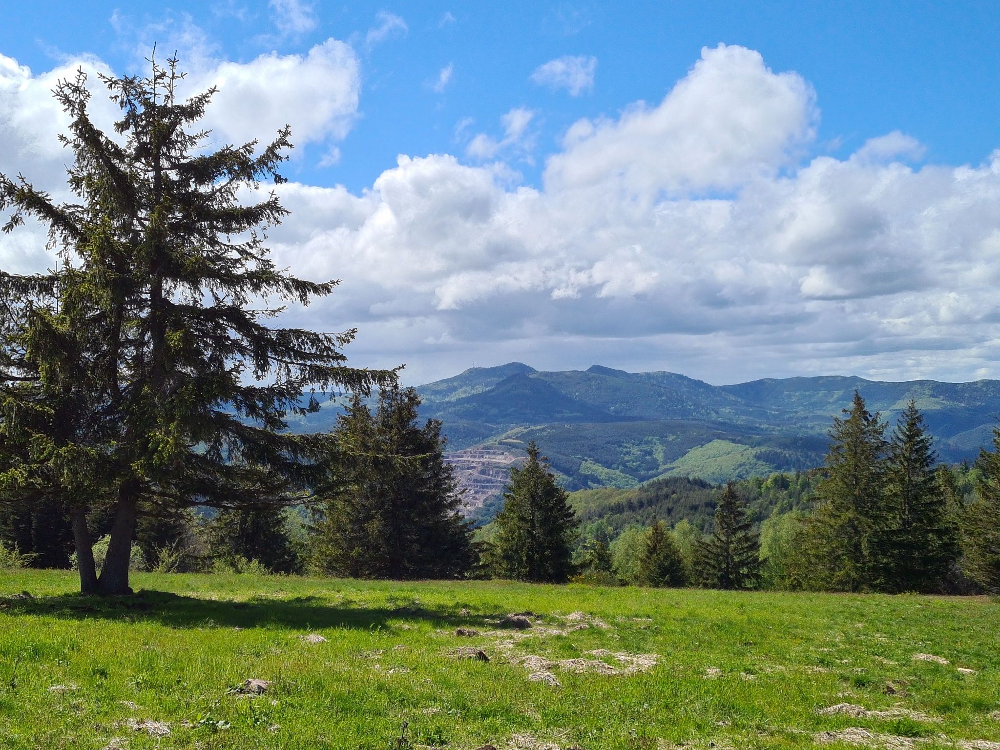
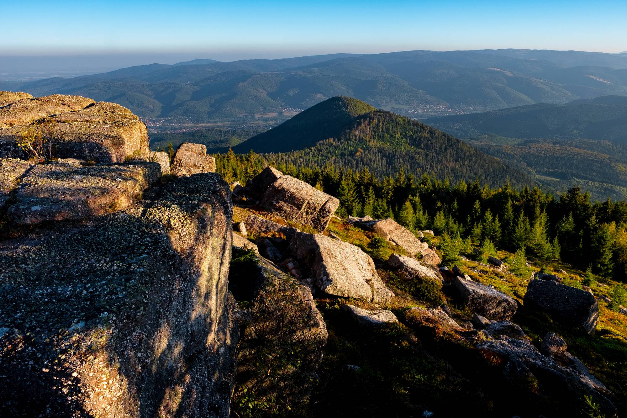
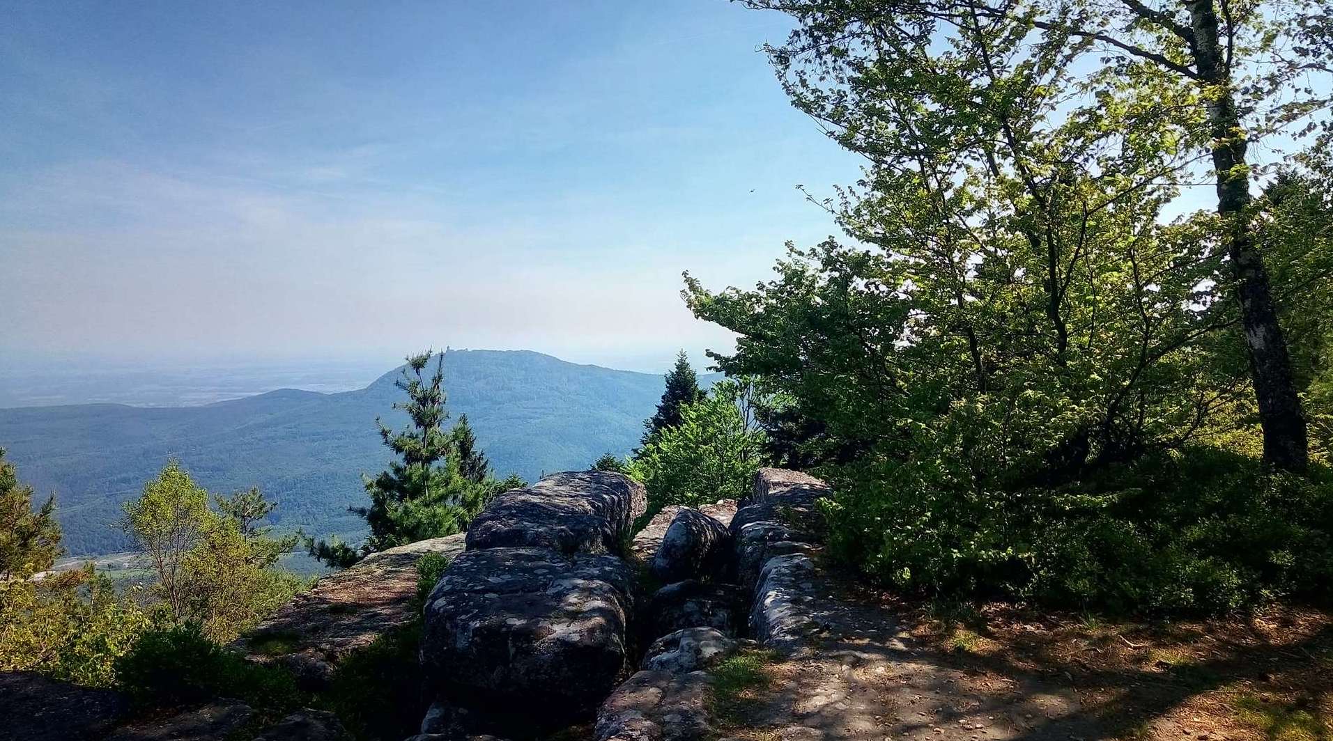
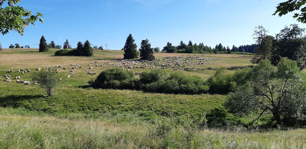
Departing from Natzwiller, this loop takes you to the Champ du Feu, the highest point in Bas-Rhin (1098 m). The landscapes alternate between forests and alpine lawns.

Already more than 200,000 users!
Uphill
634m
Highest point
1097m
Downhill
634m
Lowest point
590m
Route type
Loop
Download the map on your smartphone to save battery and rest assured to always keep access to the route, even without signal.
Includes IGN France and Swisstopo.
I indicate whether dogs are allowed or prohibited on this trail
Can be difficult in Winter
1 rating
Also enjoy:

Already more than 200,000 users!