Uphill
582m
Length
11km
Duration
4h30min
Elev gain
582m
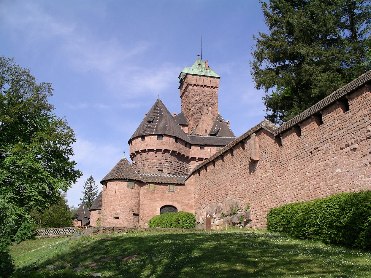
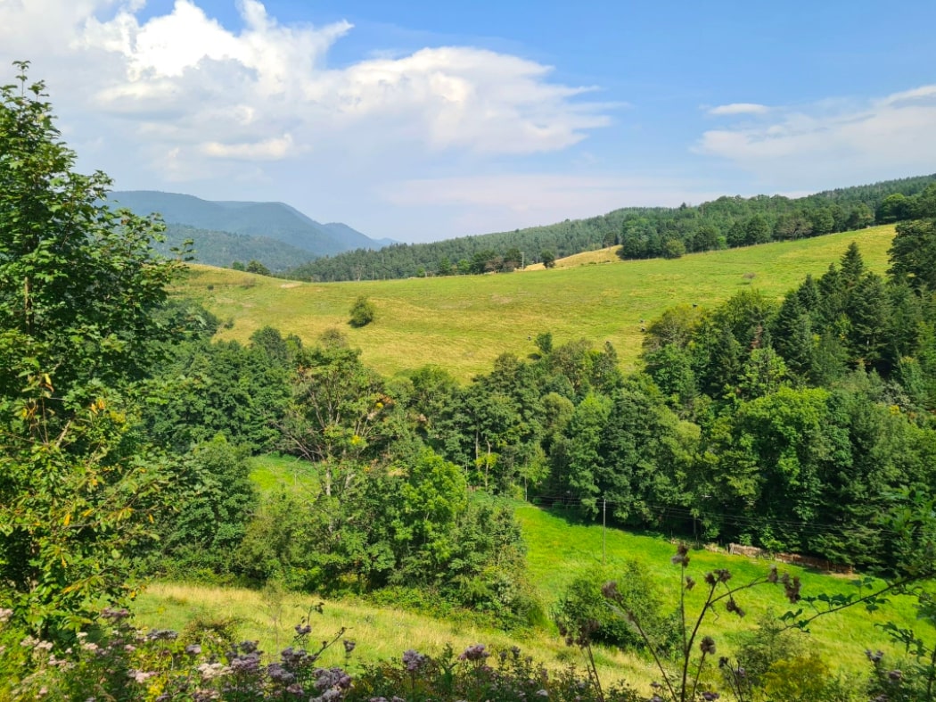
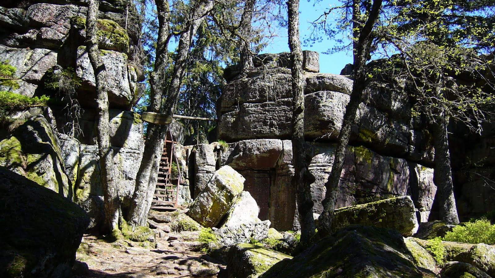
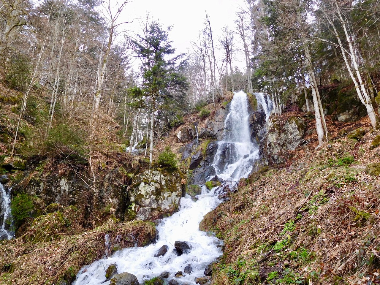
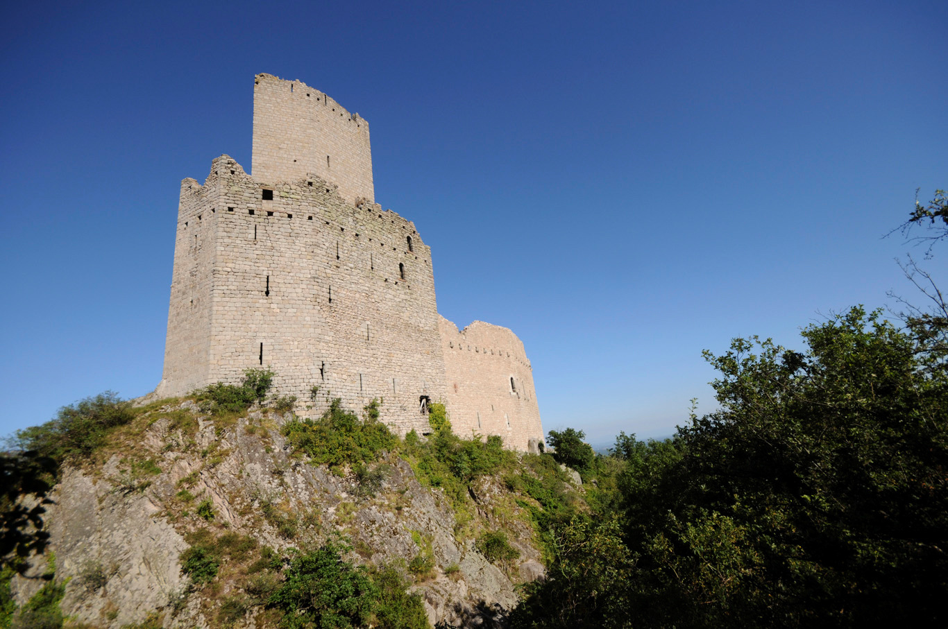
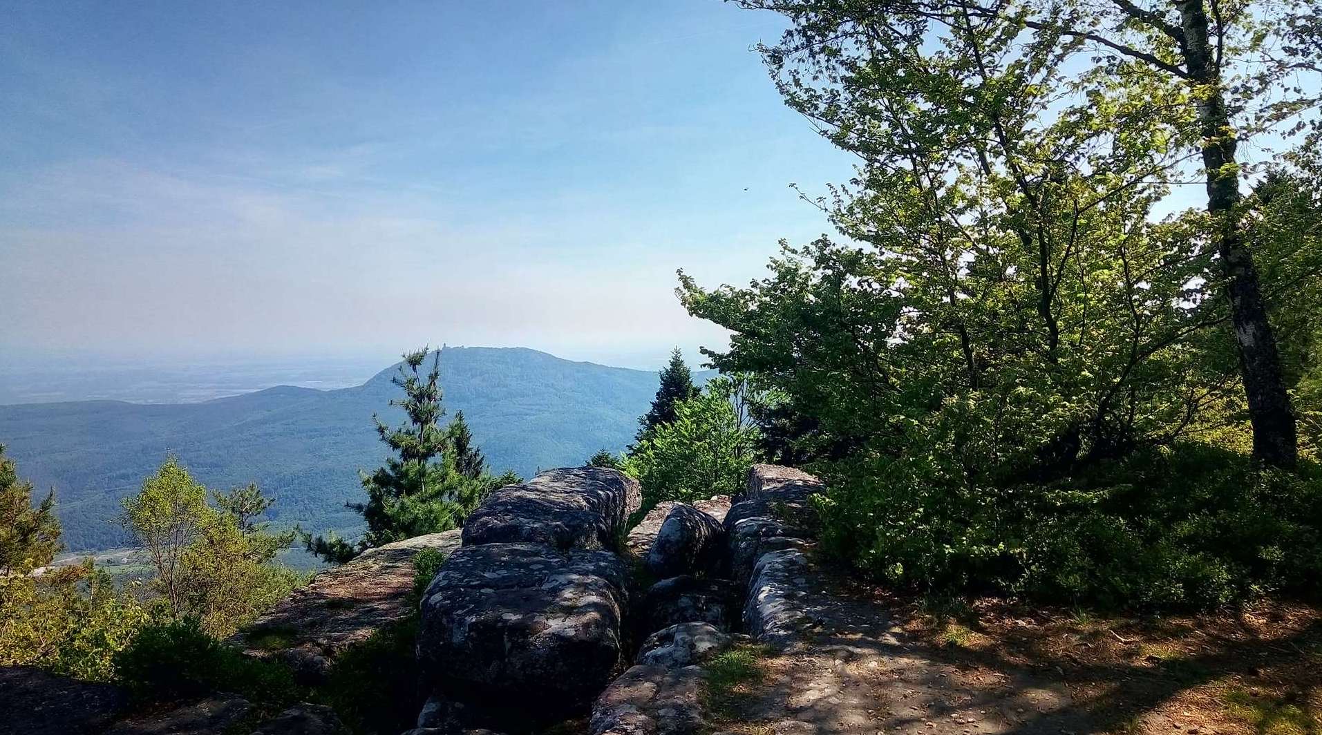
Beautiful hike that leads to Rocher du Coucou, at 856 meters. The forest path passes through the Col du Petit Haut (698m) before reaching the highest point. Many viewpoints and unusual rocks are found on the route.

Already more than 200,000 users!
Uphill
582m
Highest point
861m
Downhill
582m
Lowest point
402m
Route type
Loop
Download the map on your smartphone to save battery and rest assured to always keep access to the route, even without signal.
Includes IGN France and Swisstopo.
I indicate whether dogs are allowed or prohibited on this trail
All year
1 rating
Also enjoy:

Already more than 200,000 users!