Uphill
210m
Length
3km
Duration
1h30min
Elev gain
210m
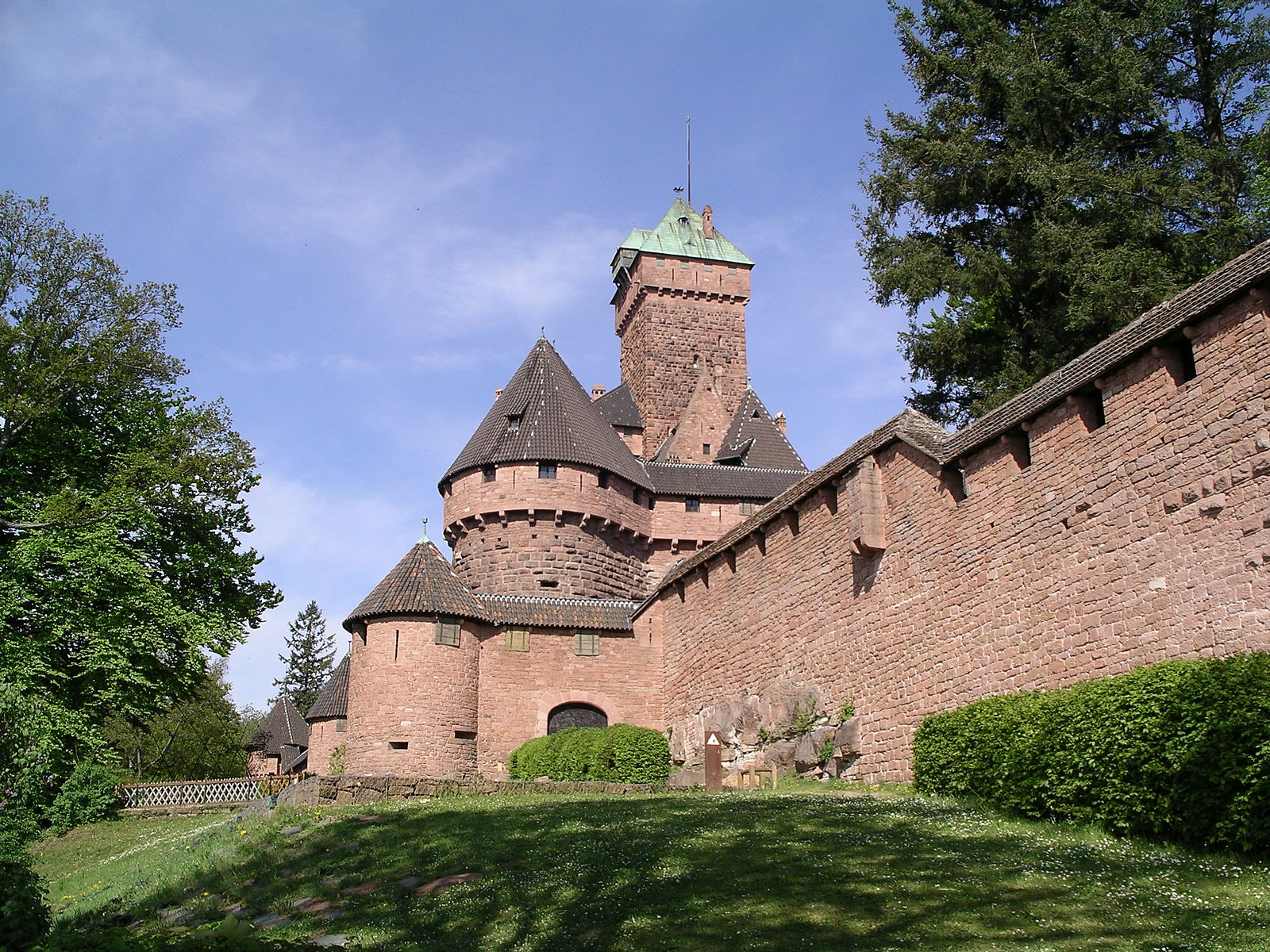
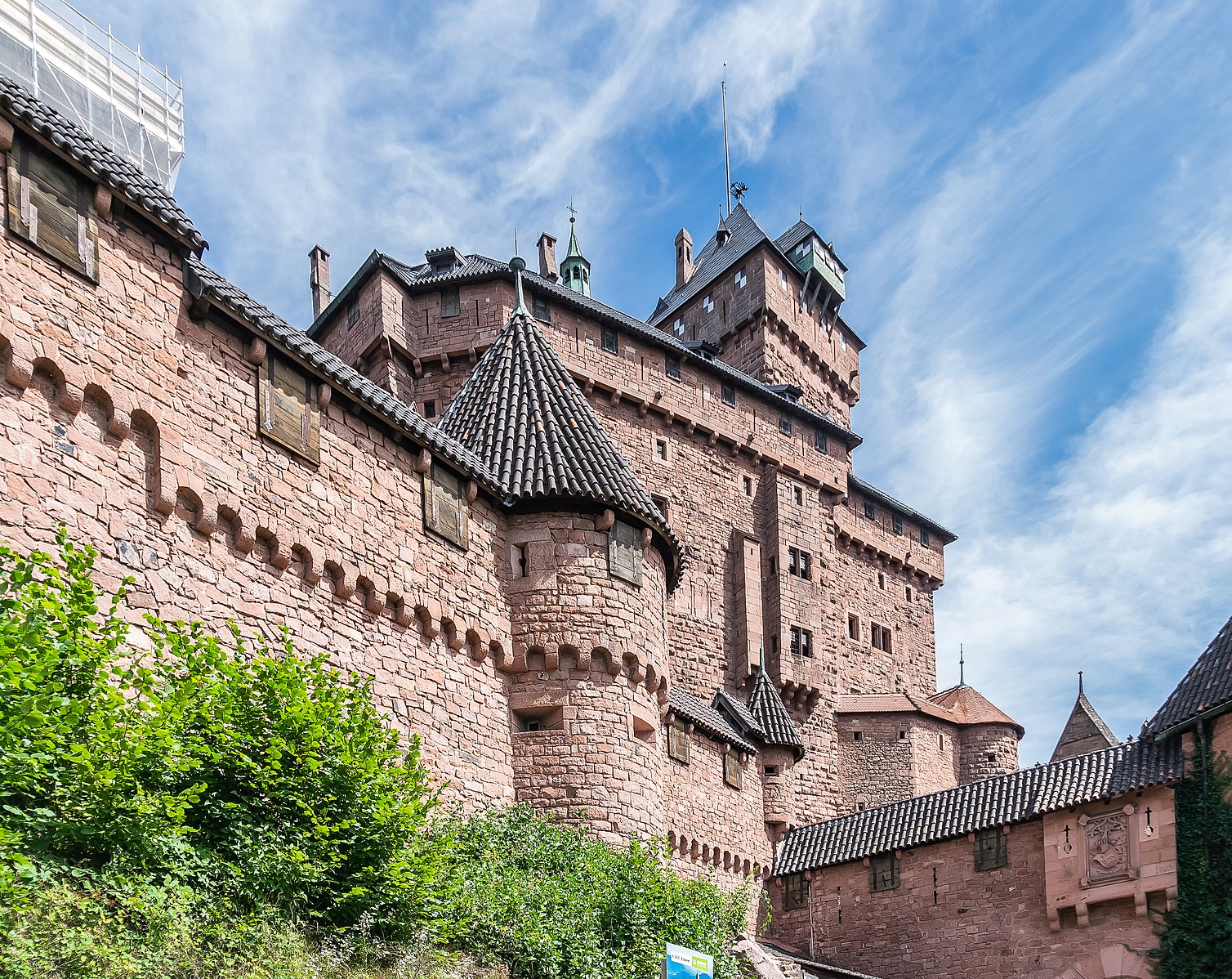
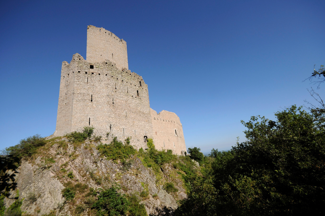
Ascent through the forest to the châteaux of Ramstein and Ortenbourg, listed as historical monuments. Nice panorama over the village of Scherwiller.
Note that part of the path is paved.

Already more than 200,000 users!
Uphill
210m
Highest point
430m
Downhill
210m
Lowest point
213m
Route type
There and back
Download the map on your smartphone to save battery and rest assured to always keep access to the route, even without signal.
Includes IGN France and Swisstopo.
I indicate whether dogs are allowed or prohibited on this trail
All year
0 ratings
Also enjoy:

Already more than 200,000 users!