Uphill
535m
France > Grand Est > Haut-Rhin > Ballons des Vosges Regional Natural Park
Length
11km
Duration
4h
Elev gain
535m
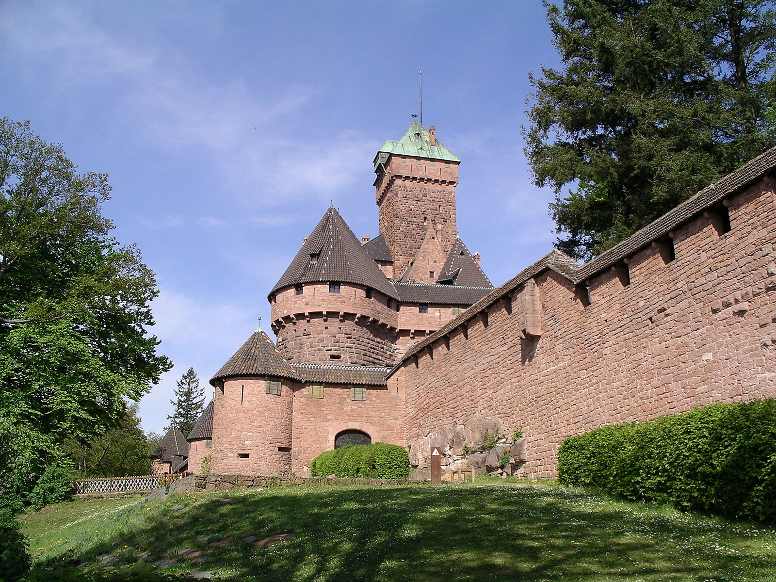
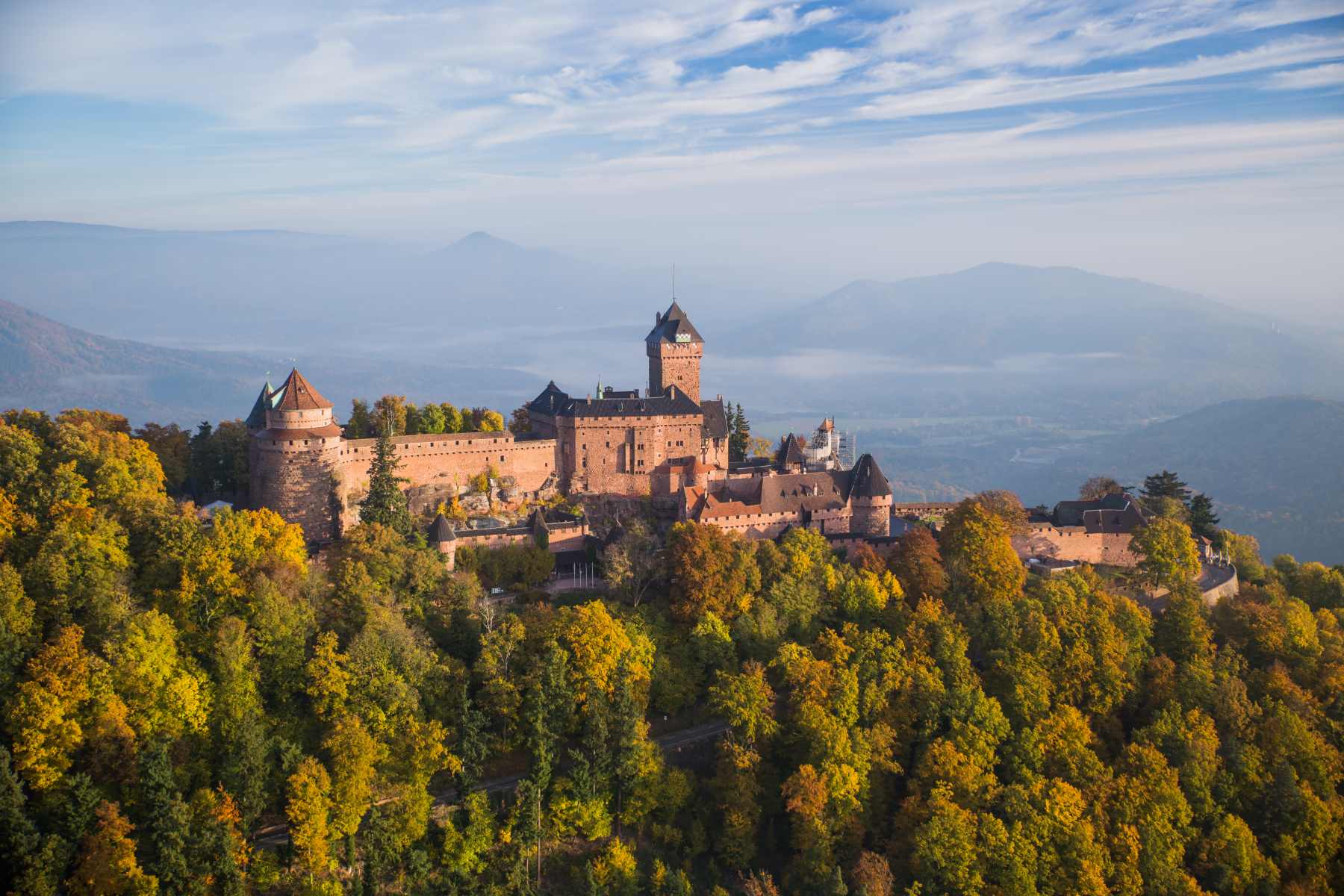
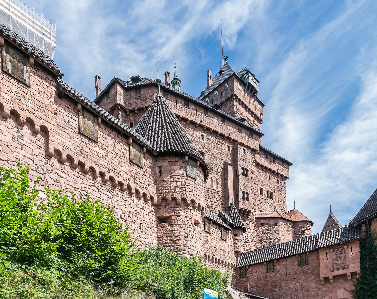
Nice varied route, between vineyards and forest, starting from the church of Saint-Hippolyte. The path leads to the Haut-Koenigsbourg castle, from where the view of the village and the surrounding area is splendid.
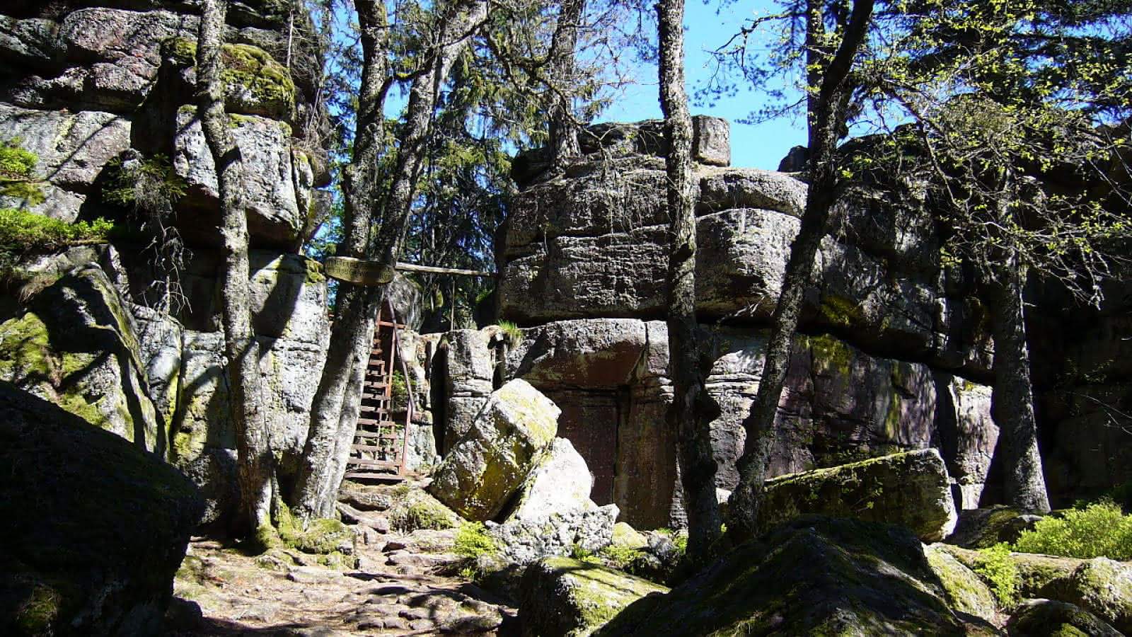
Note: this hike is relatively technical in places.

Already more than 200,000 users!
Uphill
535m
Highest point
750m
Downhill
535m
Lowest point
247m
Route type
Loop
Download the map on your smartphone to save battery and rest assured to always keep access to the route, even without signal.
Includes IGN France and Swisstopo.
I indicate whether dogs are allowed or prohibited on this trail
All year
2 ratings
Also enjoy:

Already more than 200,000 users!