Uphill
386m
France > Grand Est > Haut-Rhin > Ballons des Vosges Regional Natural Park
Length
13km
Duration
4h
Elev gain
386m
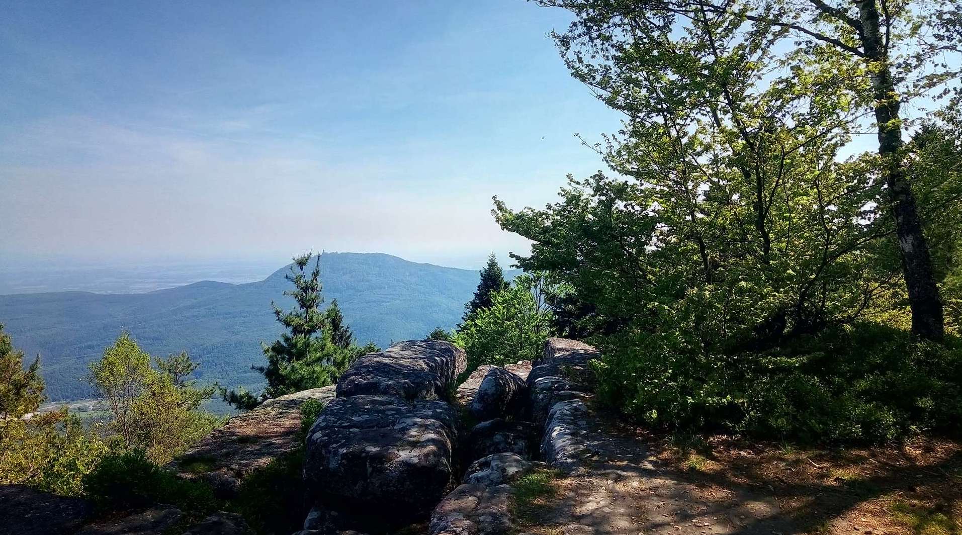
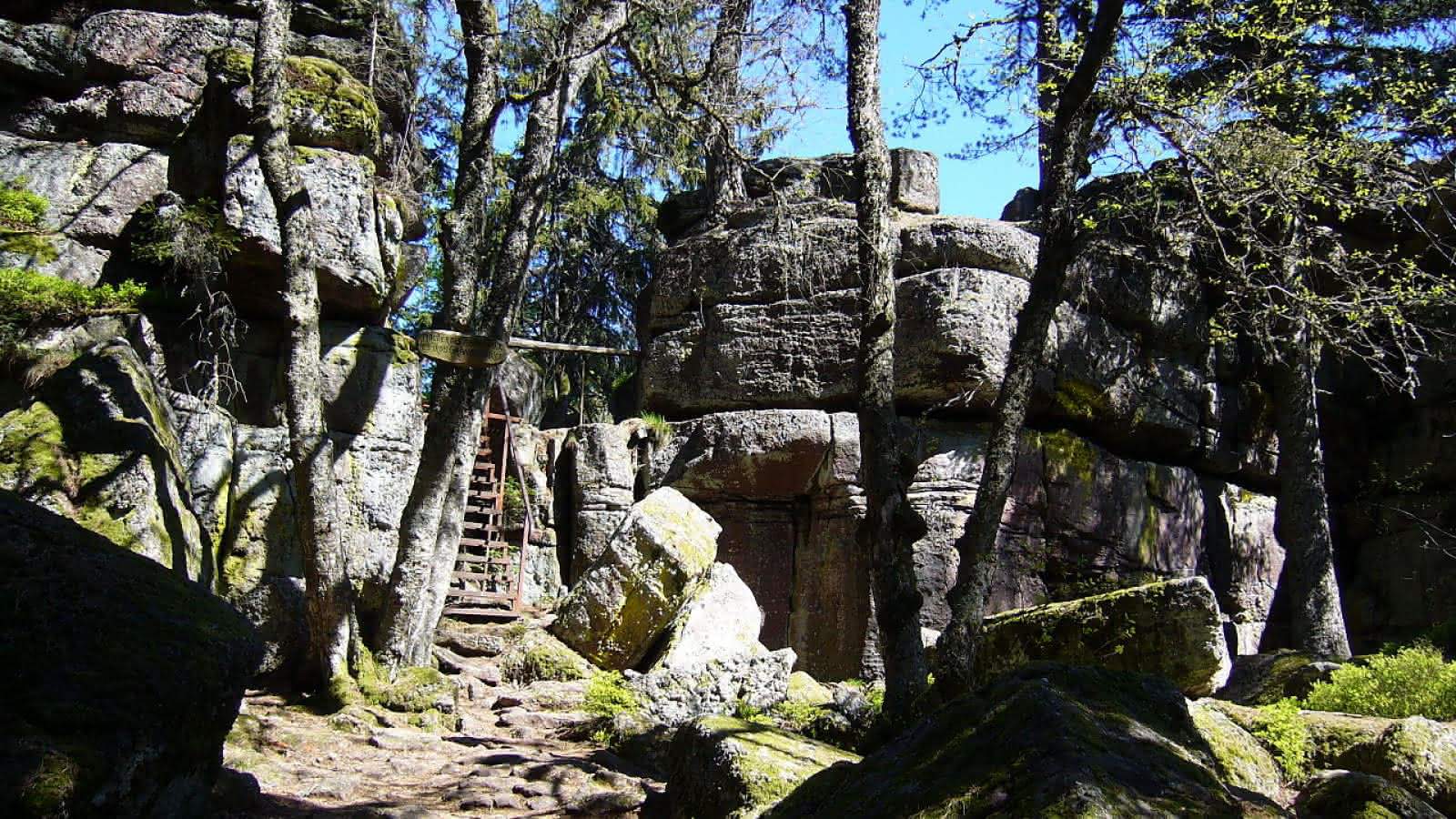
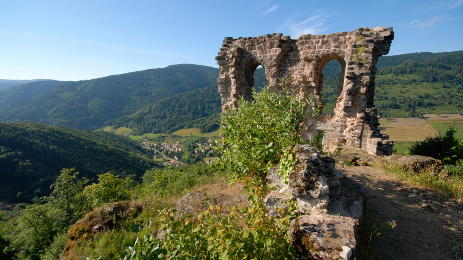
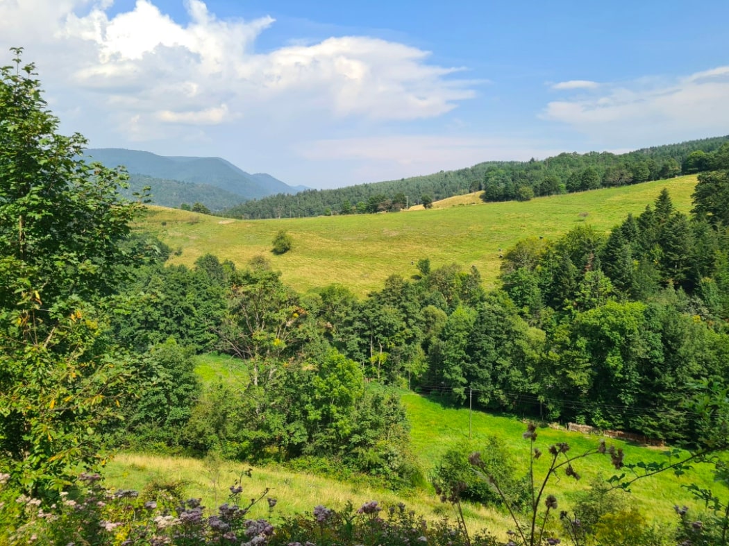
Departing from Sainte-Croix-aux-Mines, here is a beautiful walk which owes its name to the extraction of coal, which was very important in this village until the Revolution. The path makes a large loop between forest and meadows, on slopes overlooking the valley.
Note that almost half of the route is on paved roads.

Already more than 200,000 users!
Uphill
386m
Highest point
683m
Downhill
386m
Lowest point
290m
Route type
Loop
Download the map on your smartphone to save battery and rest assured to always keep access to the route, even without signal.
Includes IGN France and Swisstopo.
I indicate whether dogs are allowed or prohibited on this trail
All year
0 ratings
Also enjoy:

Already more than 200,000 users!