Uphill
381m
Length
9km
Duration
3h
Elev gain
381m
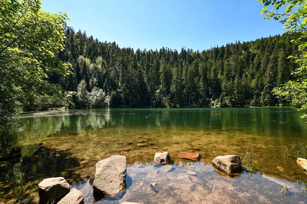
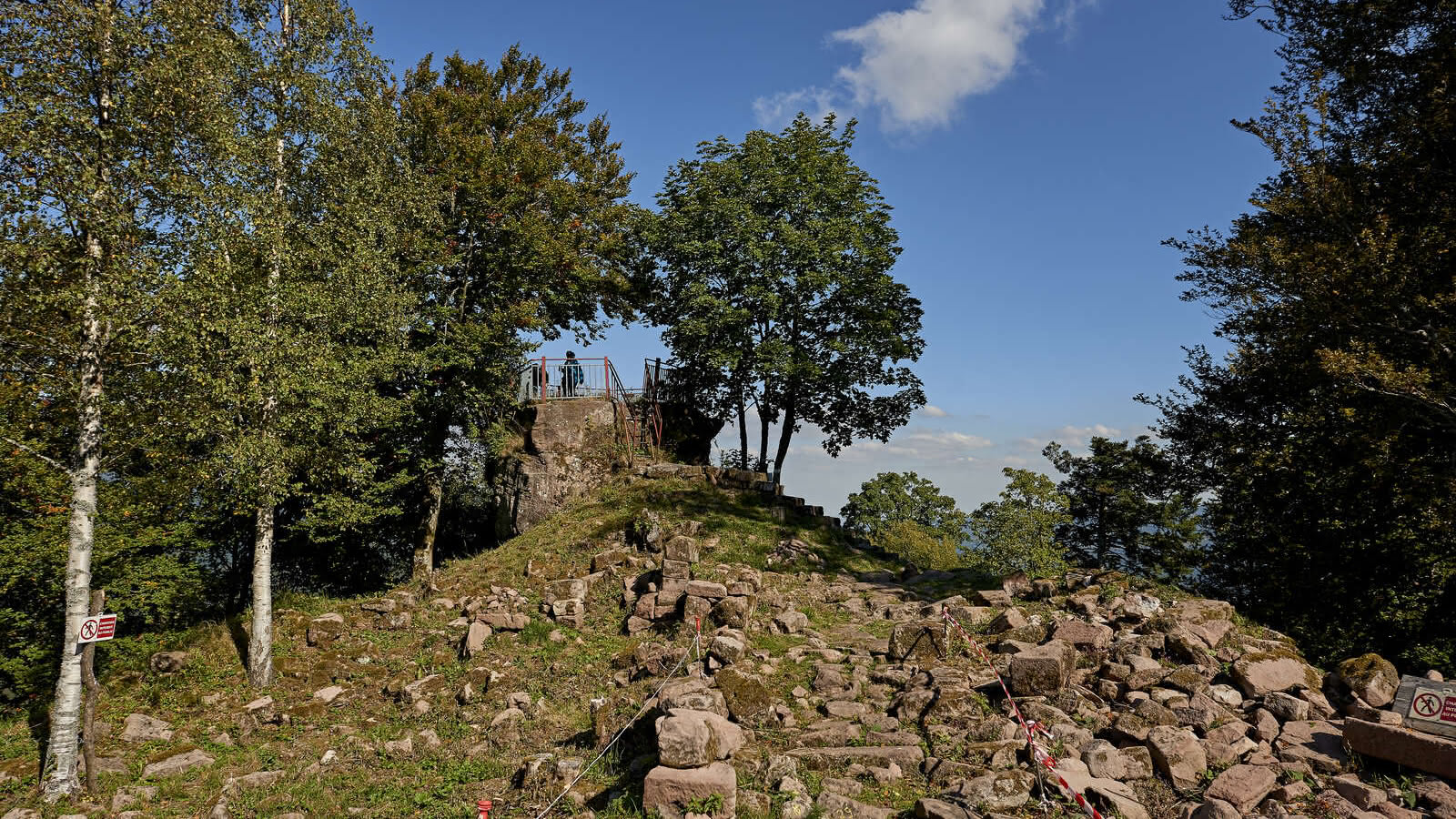
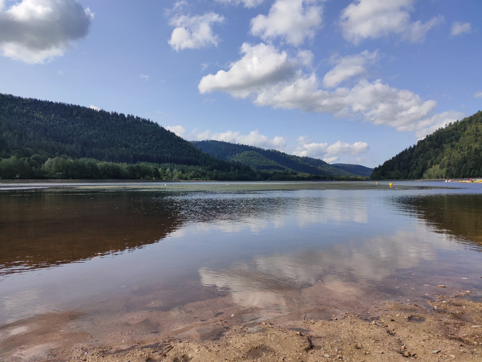
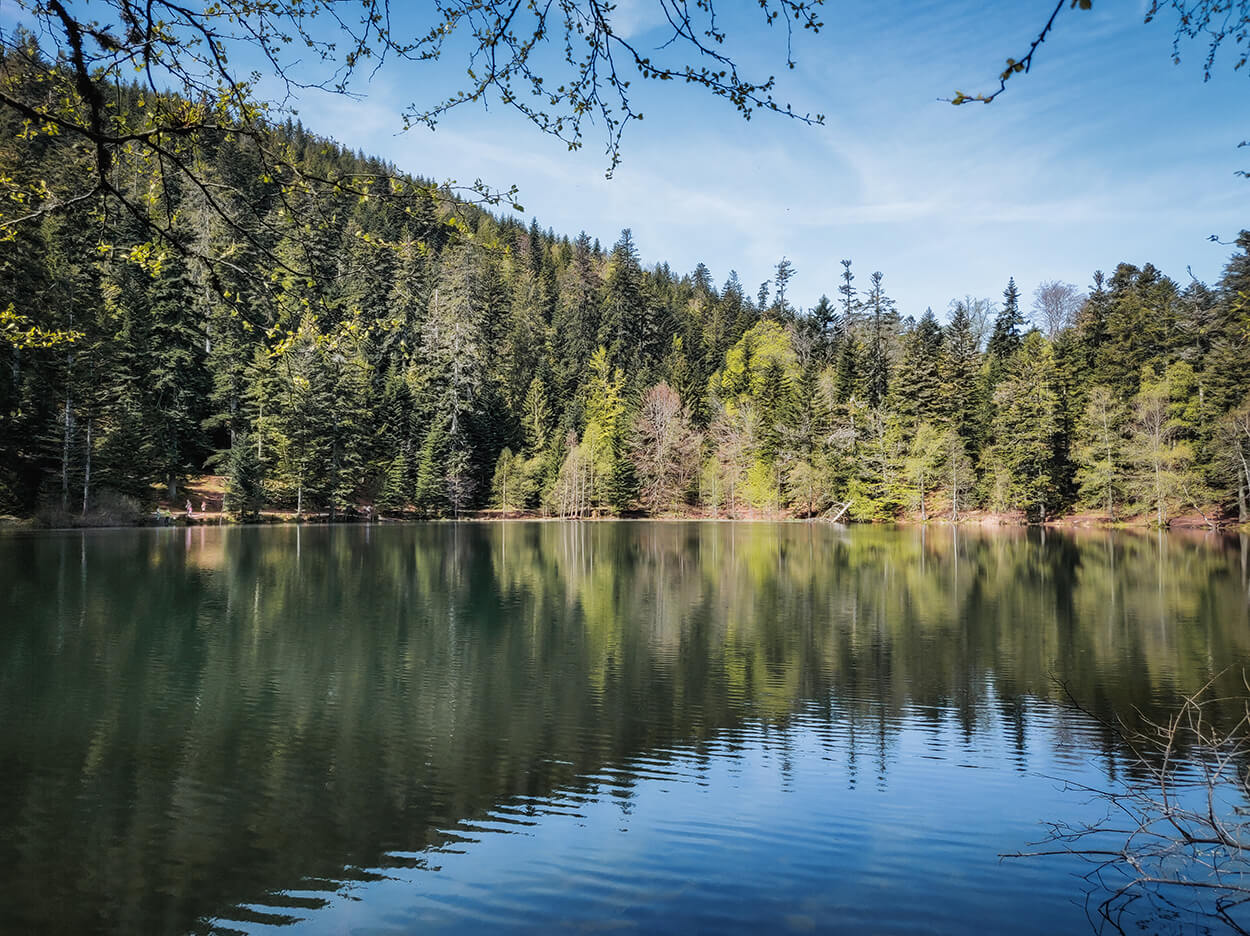
Here is a beautiful hike that starts in Vexaincourt. The route climbs to reach the Lac de la Maix and its pretty chapel. Once at the top, the calm is soothing and the decor is sublime. The return to the starting point is via another path.

Already more than 200,000 users!
Uphill
381m
Highest point
741m
Downhill
381m
Lowest point
370m
Route type
Loop
Download the map on your smartphone to save battery and rest assured to always keep access to the route, even without signal.
Includes IGN France and Swisstopo.
I indicate whether dogs are allowed or prohibited on this trail
All year
0 ratings
Also enjoy:

Already more than 200,000 users!