Uphill
183m
Length
6km
Duration
2h
Elev gain
183m
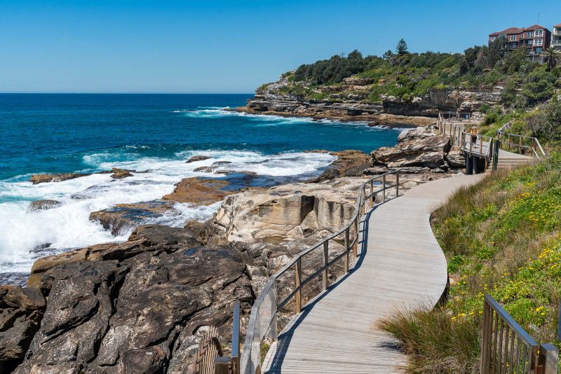
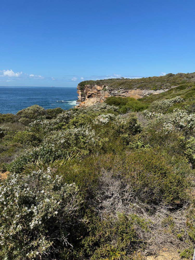
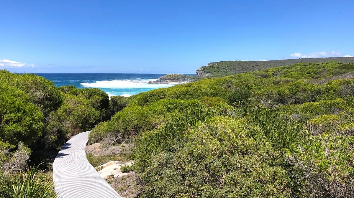
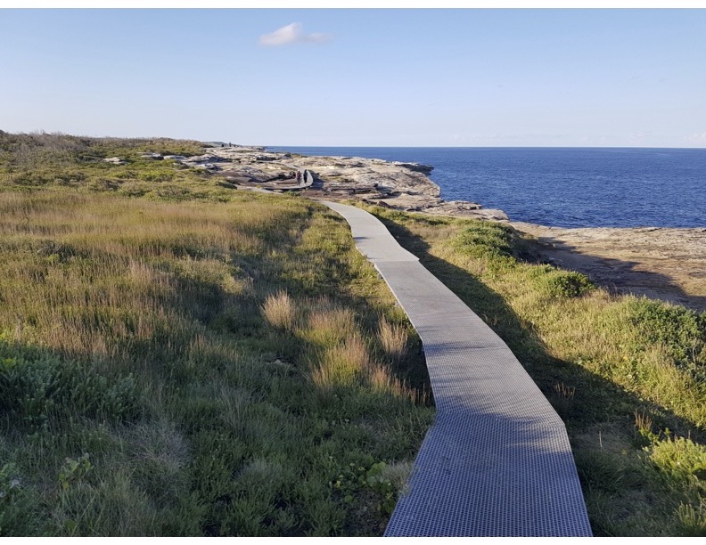
Discover this wonderful there-and-back walk along the coast of the Kurnell Peninsula in Kamay Botany Bay National Park, near Sydney. The trail, beginning by the Solander lookout and following the coast to the Cape Bailey Lighthouse, is easy as it combines wide tracks and boardwalks. The coastal views are fantastic throughout the walk, be it cliffs, beaches, rock formations, beautiful flora, anywhere one looks is stunning.

Already more than 200,000 users!
Uphill
183m
Highest point
29m
Downhill
183m
Lowest point
0m
Route type
There and back
Download the map on your smartphone to save battery and rest assured to always keep access to the route, even without signal.
Includes IGN France and Swisstopo.
I indicate whether dogs are allowed or prohibited on this trail
All year
0 ratings
Also enjoy:

Already more than 200,000 users!