Uphill
277m
Length
6km
Duration
2h
Elev gain
277m
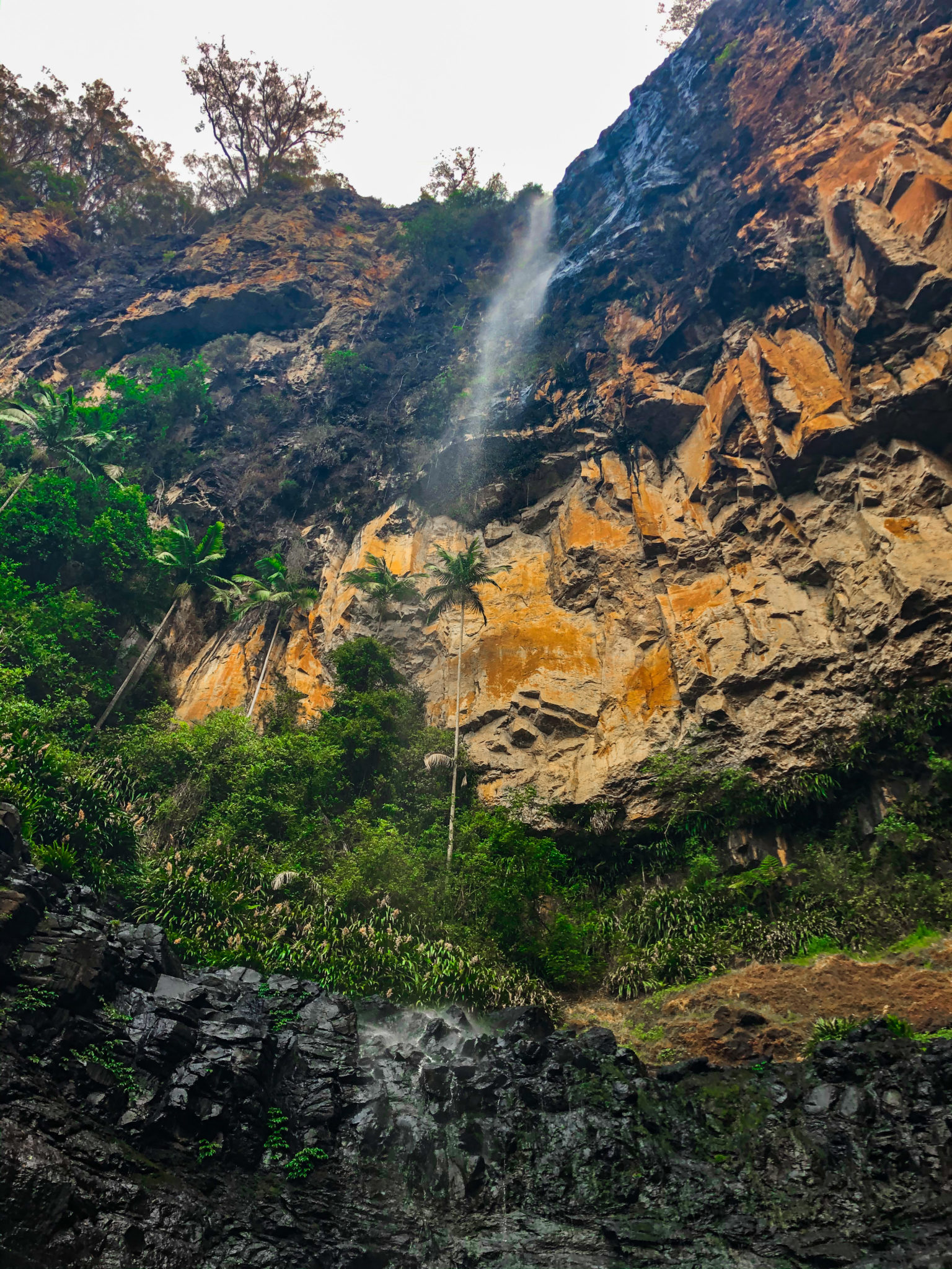
A steep and difficult there-and-back trail in the Gold Coast hinterland. The track can be extremely muddy in case of rainfall, there can also be fallen trees and rocky patches. There are some stream crossings and potential snake encounters to take into account.
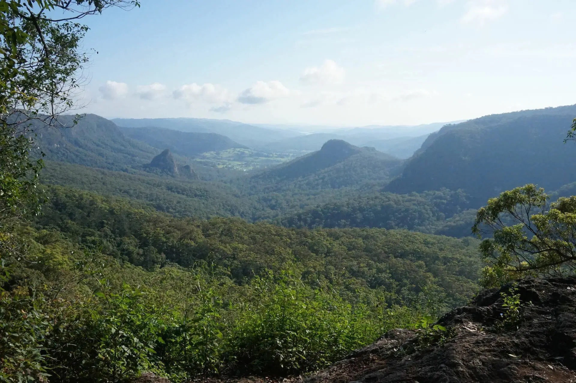
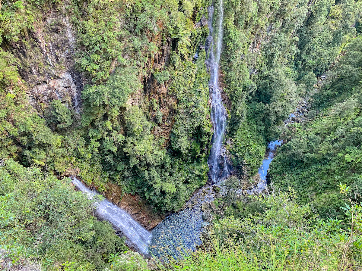
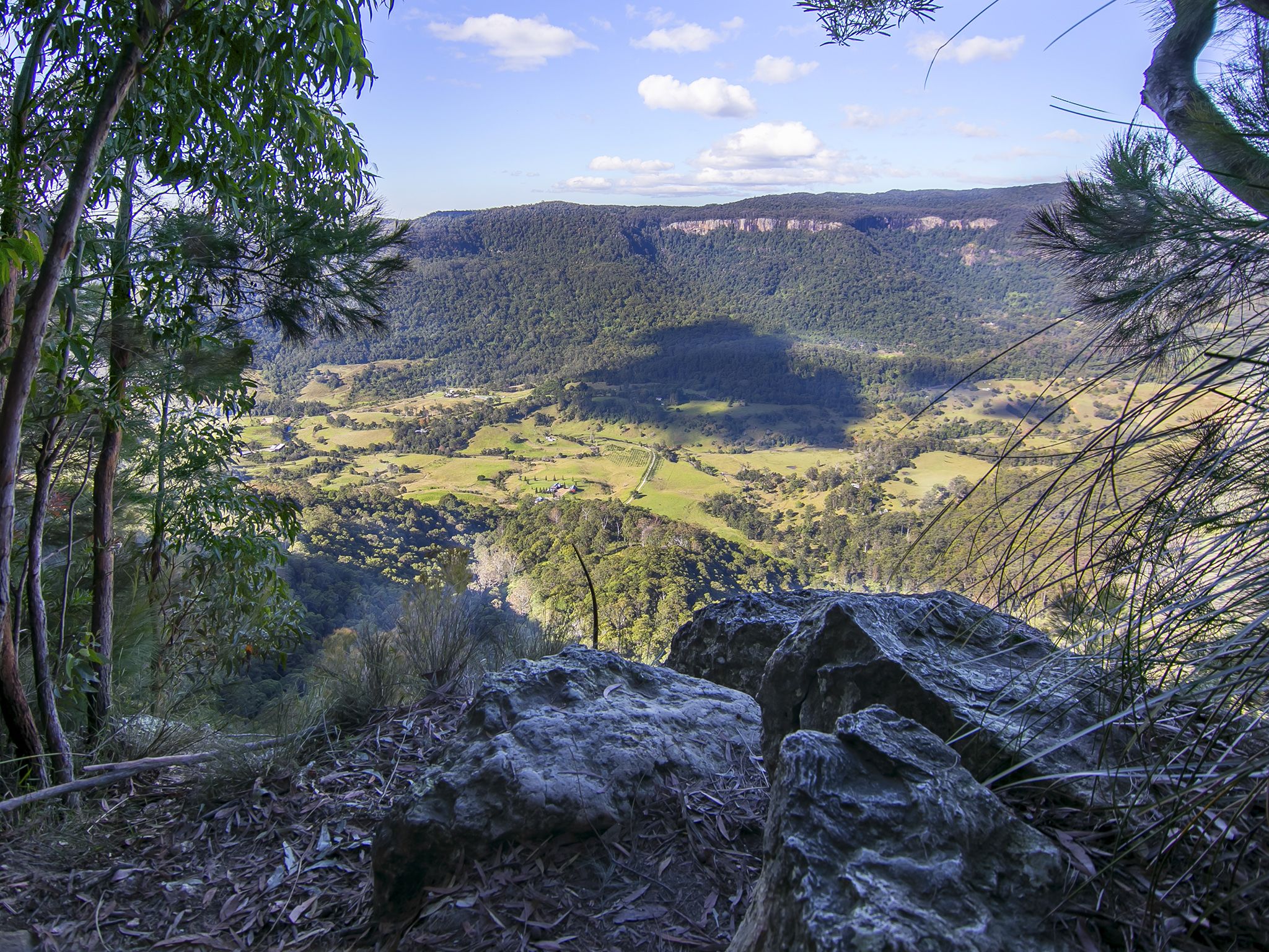
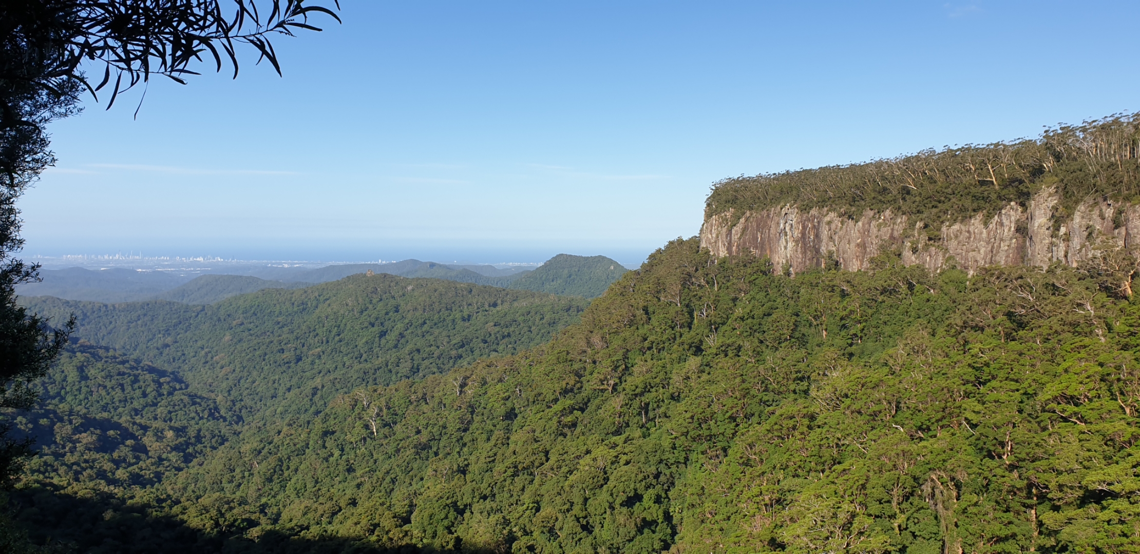
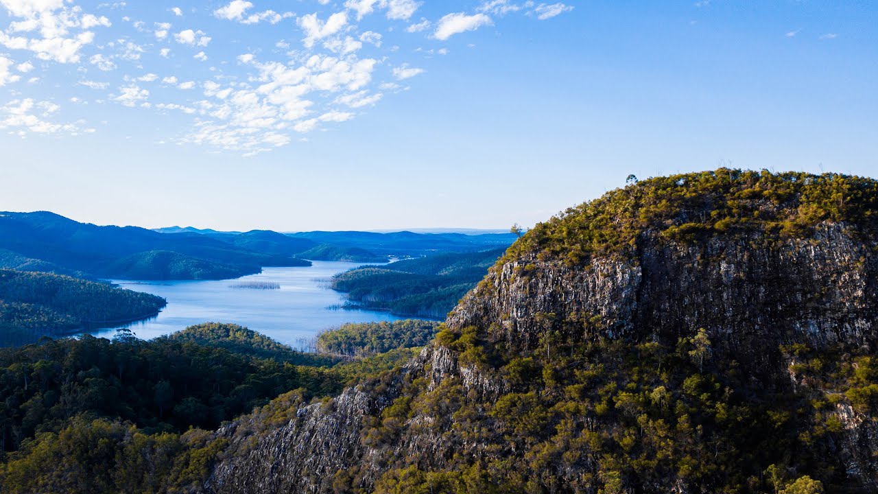
The ascent begins under the eucalyptuses and then opens with great panoramas. The views at the top of the lush mountains all around and the blue waters of the Advancetown Lake are simply extraordinary as well as the impressive ridge at the end of the track (it’s not recommended to climb it).

Already more than 200,000 users!
Uphill
277m
Highest point
358m
Downhill
277m
Lowest point
98m
Route type
There and back
Download the map on your smartphone to save battery and rest assured to always keep access to the route, even without signal.
Includes IGN France and Swisstopo.
I indicate whether dogs are allowed or prohibited on this trail
All year
1 rating
Also enjoy:

Already more than 200,000 users!