Uphill
510m
Length
17km
Duration
5h30min
Elev gain
510m
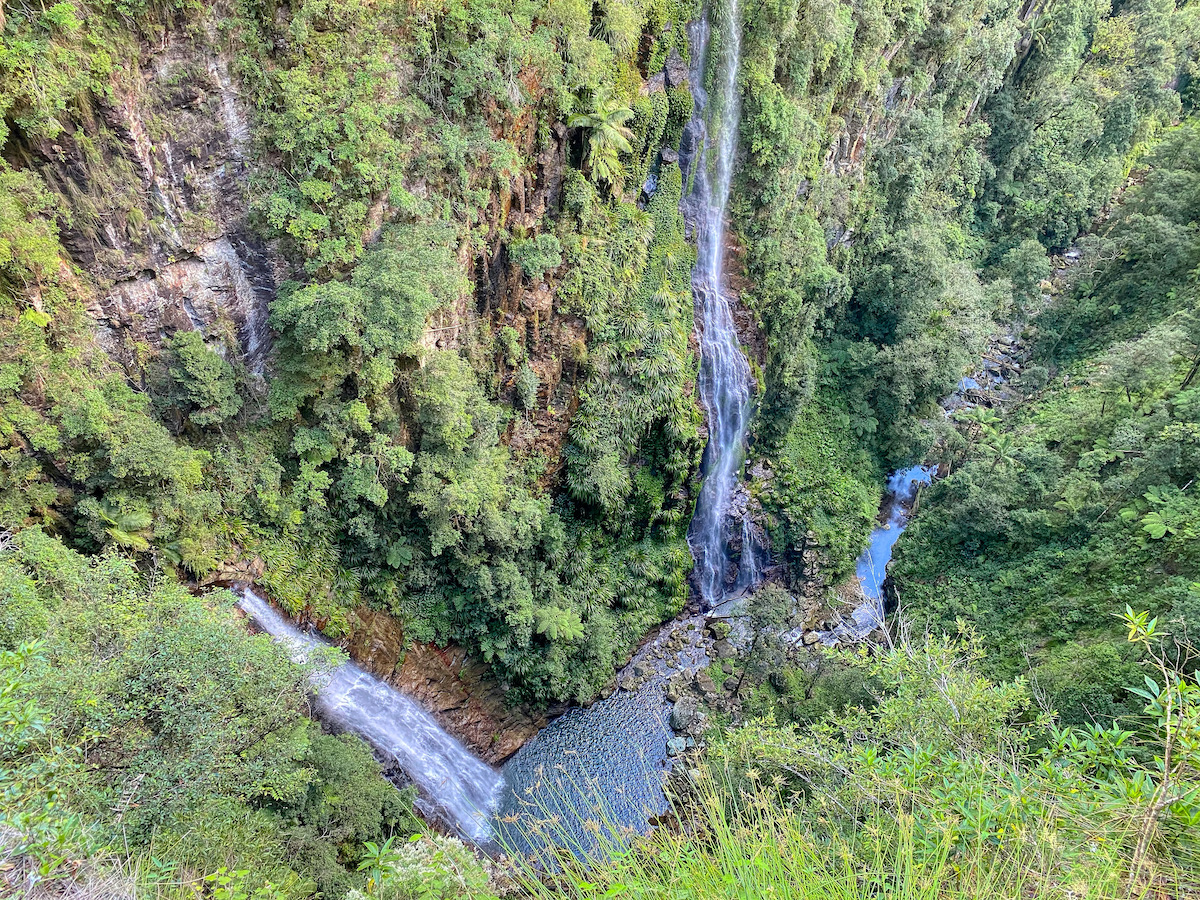
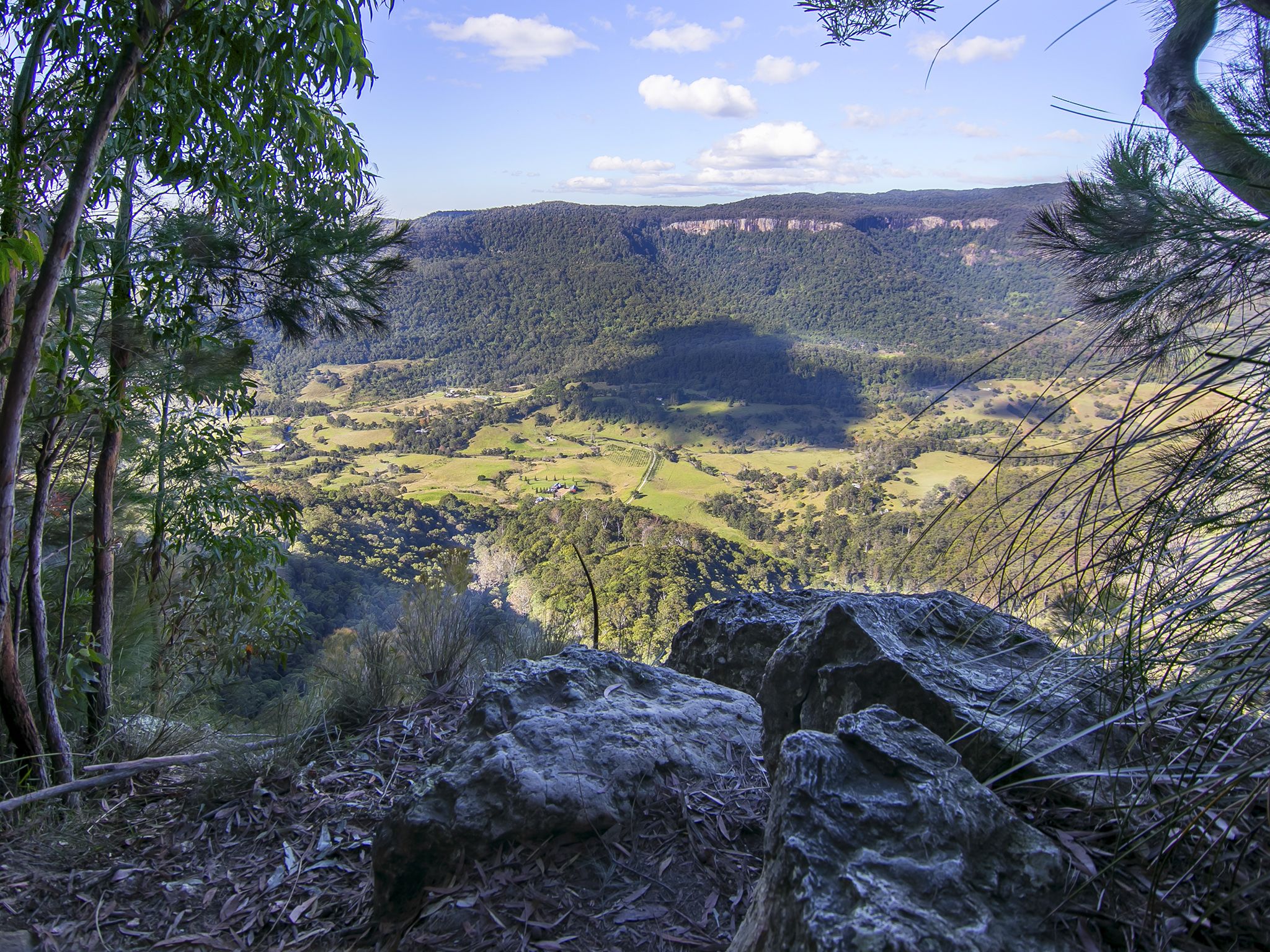
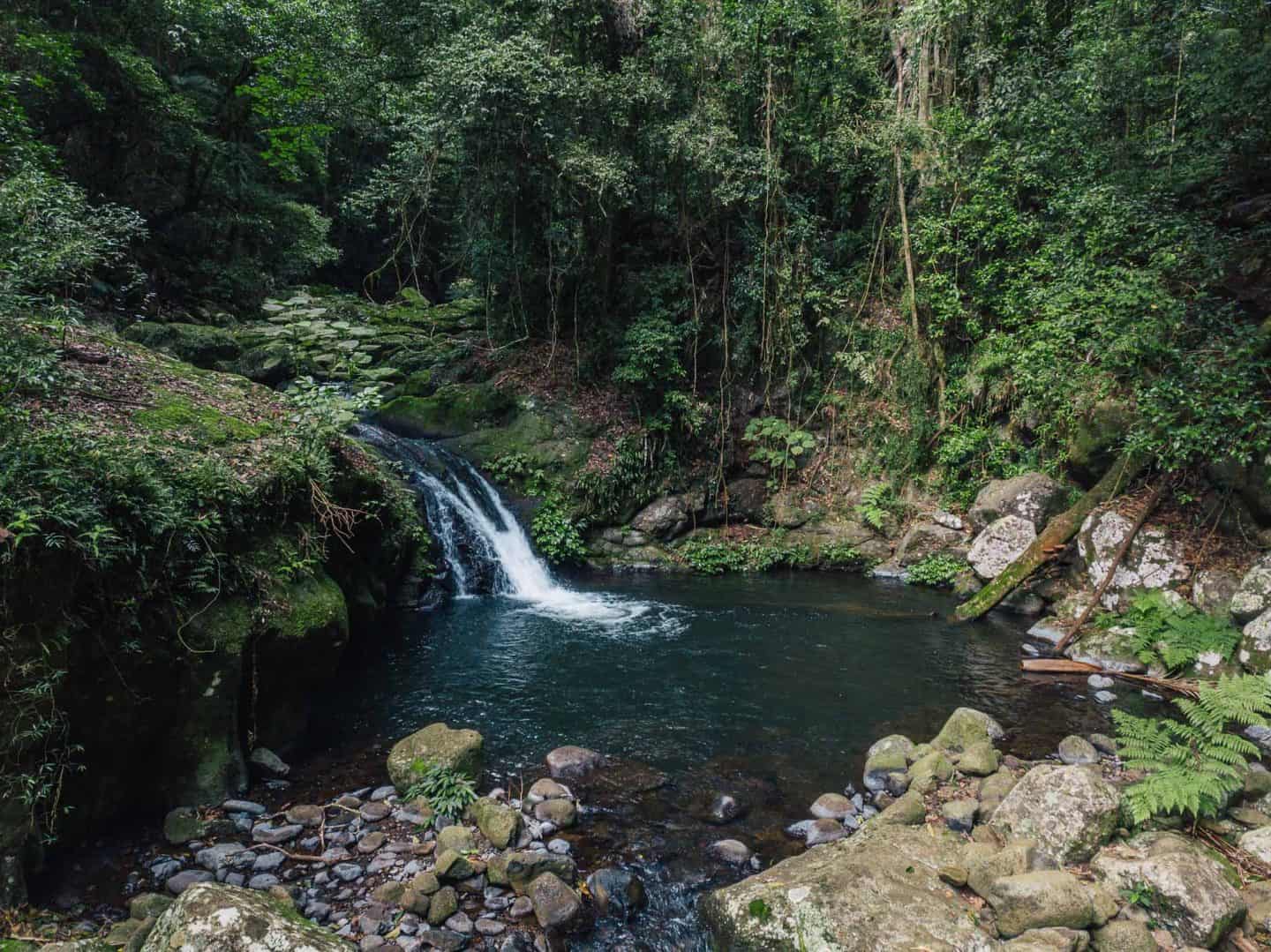
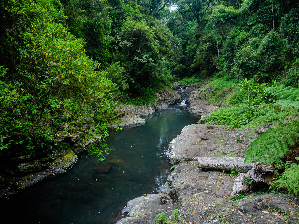
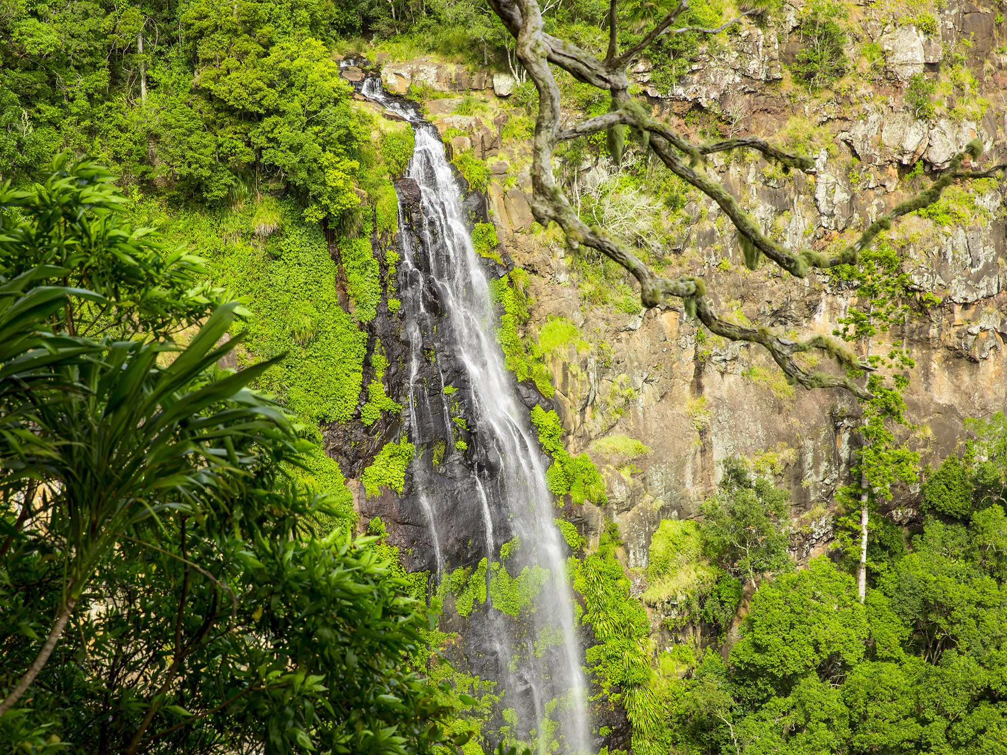
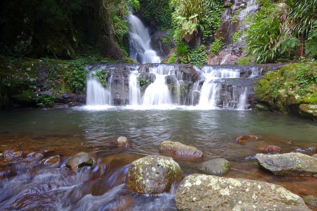
Discover the Toolona Creek Circuit, a fantastic loop in Lamington National Park. The track combines several trails to offer a route full of fantastic natural features. The trail is often undertaken clockwise, starting on Border Track to Picnic Rock and Elabana Falls. The route carries on upward towards the Toolona Falls and Lookout to finally ascend Mount Bithongabel. The hike under the rainforest is full of ancient flora and a lot of wildlife as well as incredible waterfalls and beautiful openings on the lush mountains.

Already more than 200,000 users!
Uphill
510m
Highest point
1185m
Downhill
510m
Lowest point
766m
Route type
Loop
Download the map on your smartphone to save battery and rest assured to always keep access to the route, even without signal.
Includes IGN France and Swisstopo.
I indicate whether dogs are allowed or prohibited on this trail
Can be difficult in Winter
0 ratings
Also enjoy:

Already more than 200,000 users!