Uphill
13m
Length
11km
Duration
2h30min
Elev gain
13m
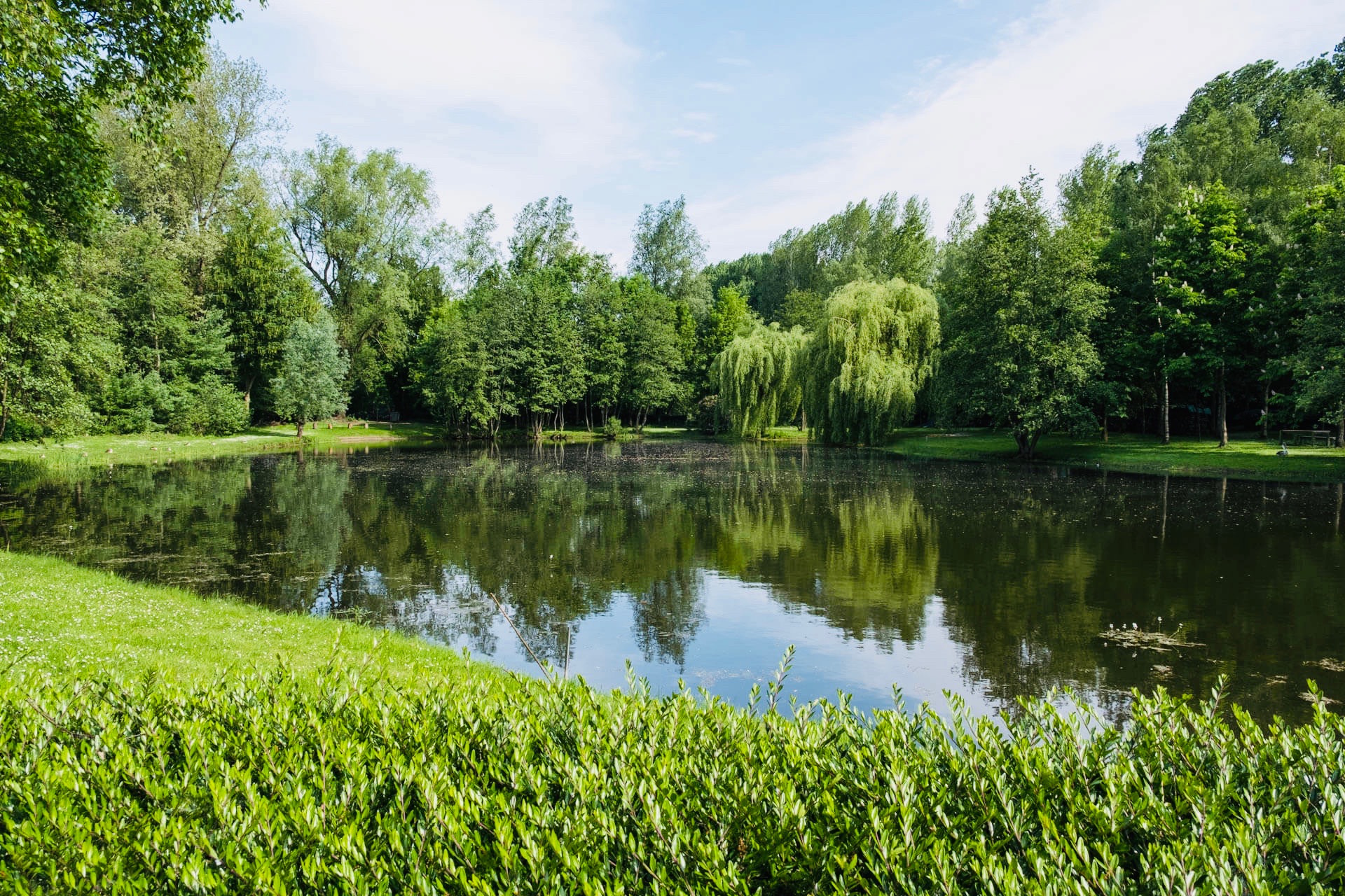
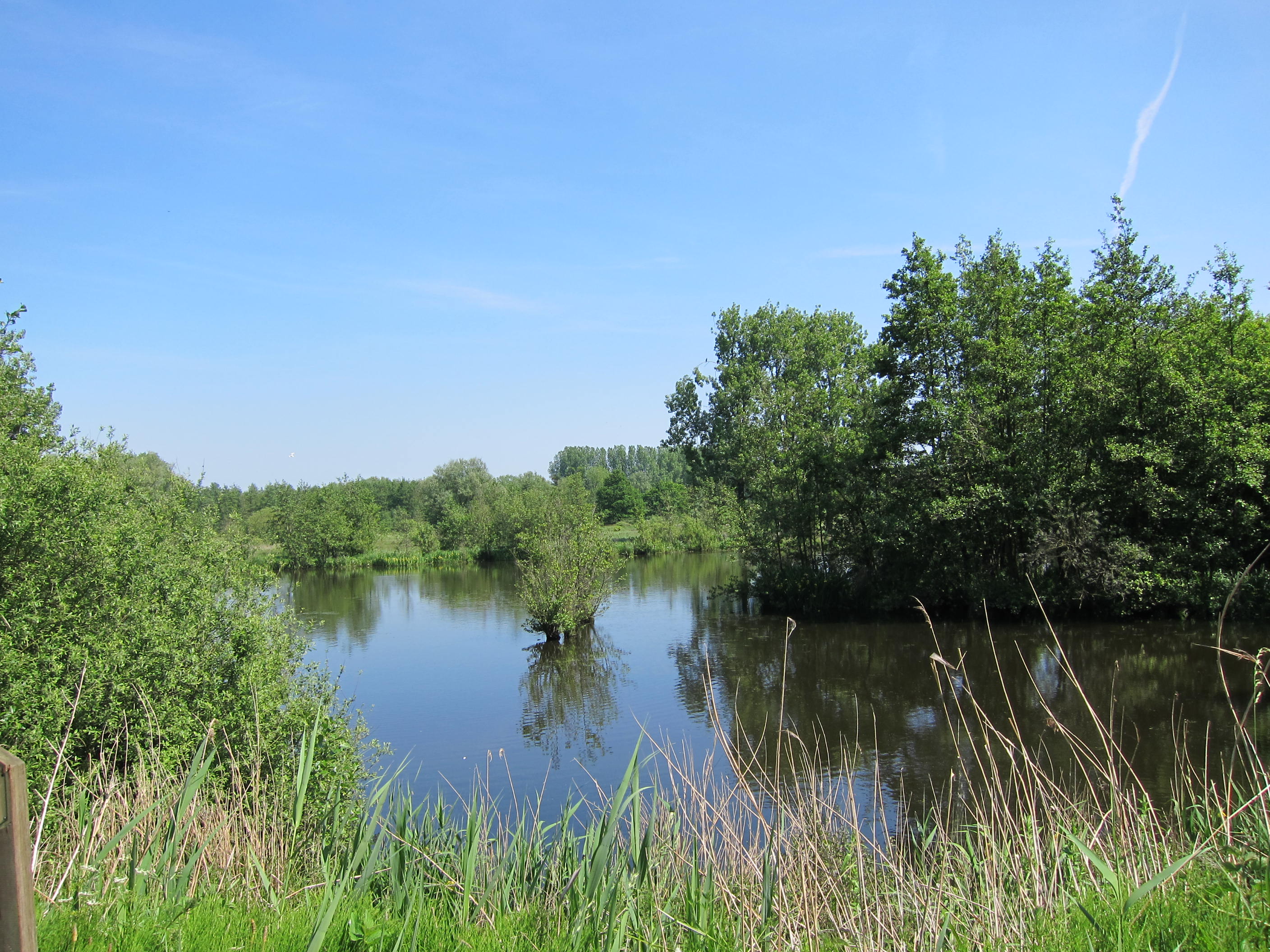
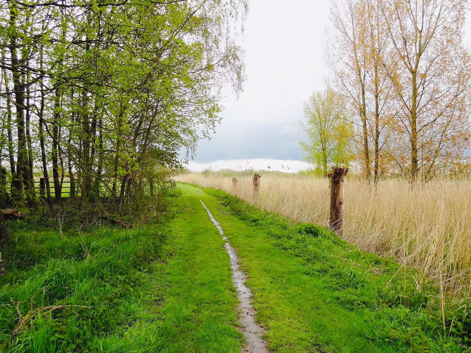
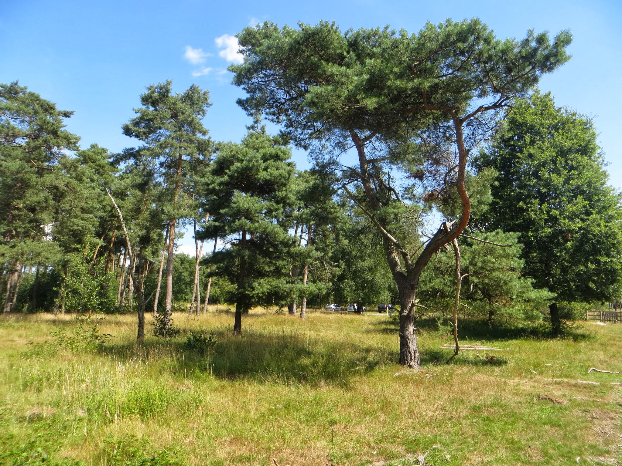
Nice walk in the wood of Heide, in an environment that never ceases to surprise us. Between forest, meadows and moors, the path crosses beautiful landscapes, each as beautiful as the next.

Already more than 200,000 users!
Uphill
13m
Highest point
18m
Downhill
13m
Lowest point
3m
Route type
Loop
Download the map on your smartphone to save battery and rest assured to always keep access to the route, even without signal.
Includes IGN France and Swisstopo.
I indicate whether dogs are allowed or prohibited on this trail
All year
1 rating
Also enjoy:

Already more than 200,000 users!