Uphill
26m
Length
6km
Duration
1h30min
Elev gain
26m
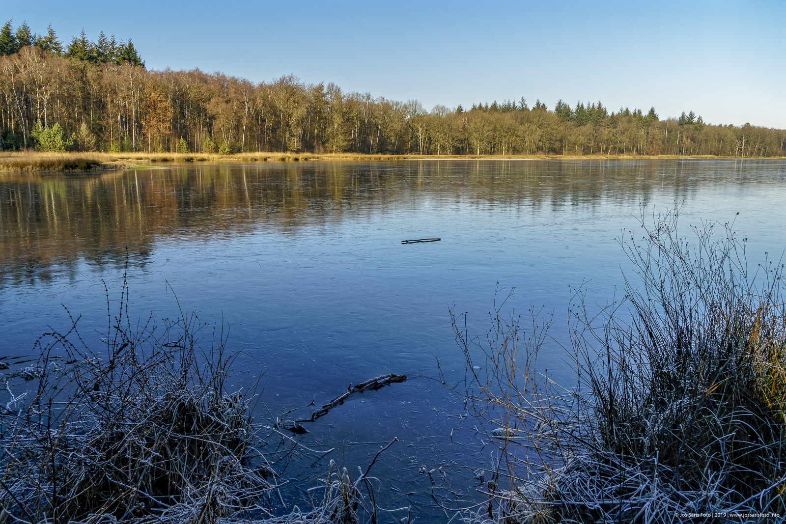
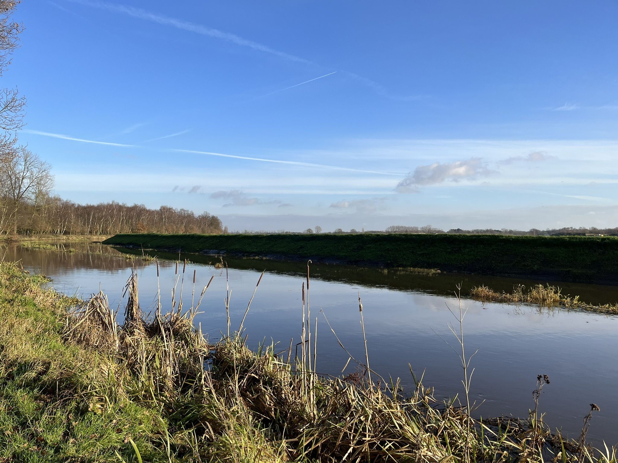
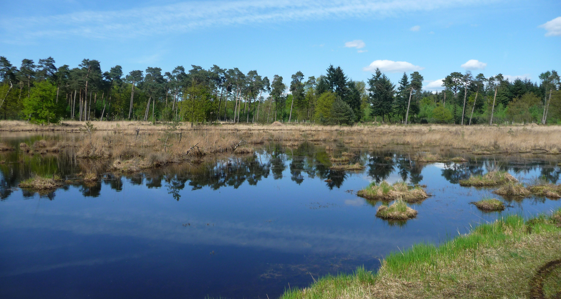
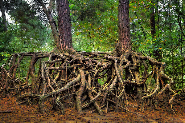
Located south of Kasterlee, this walk makes a great loop through the woods. The course presents no difficulty and will satisfy the whole family.

Already more than 200,000 users!
Uphill
26m
Highest point
38m
Downhill
26m
Lowest point
15m
Route type
Loop
Download the map on your smartphone to save battery and rest assured to always keep access to the route, even without signal.
Includes IGN France and Swisstopo.
I indicate whether dogs are allowed or prohibited on this trail
All year
0 ratings
Also enjoy:

Already more than 200,000 users!