Uphill
176m
Length
11km
Duration
3h
Elev gain
176m
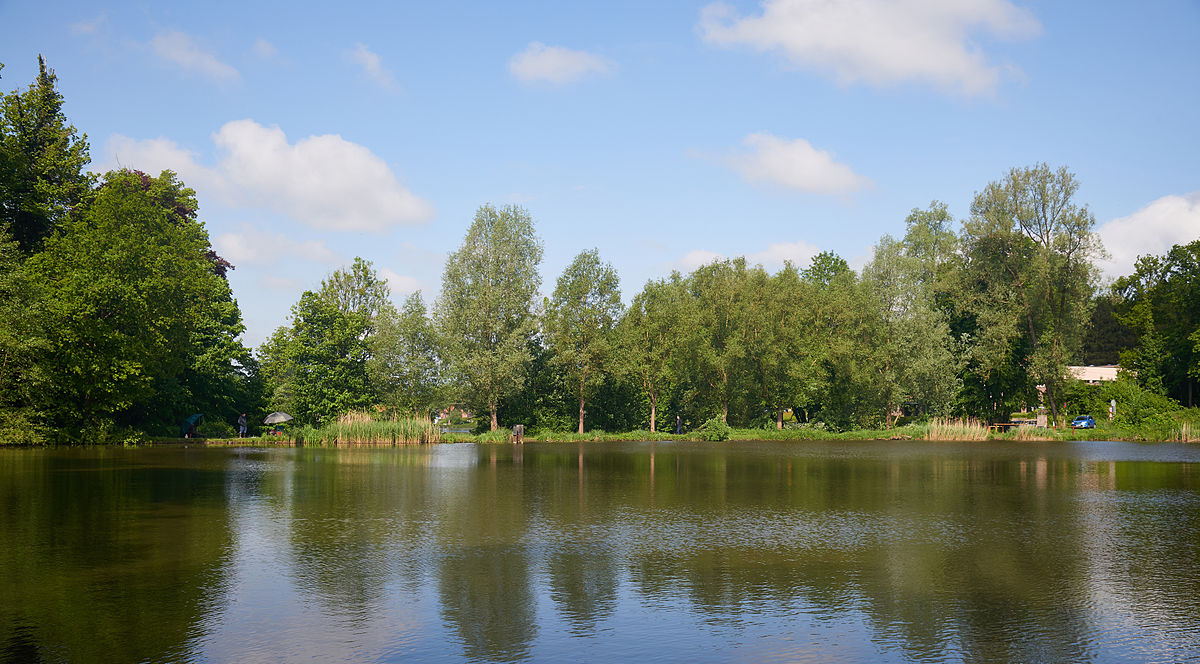
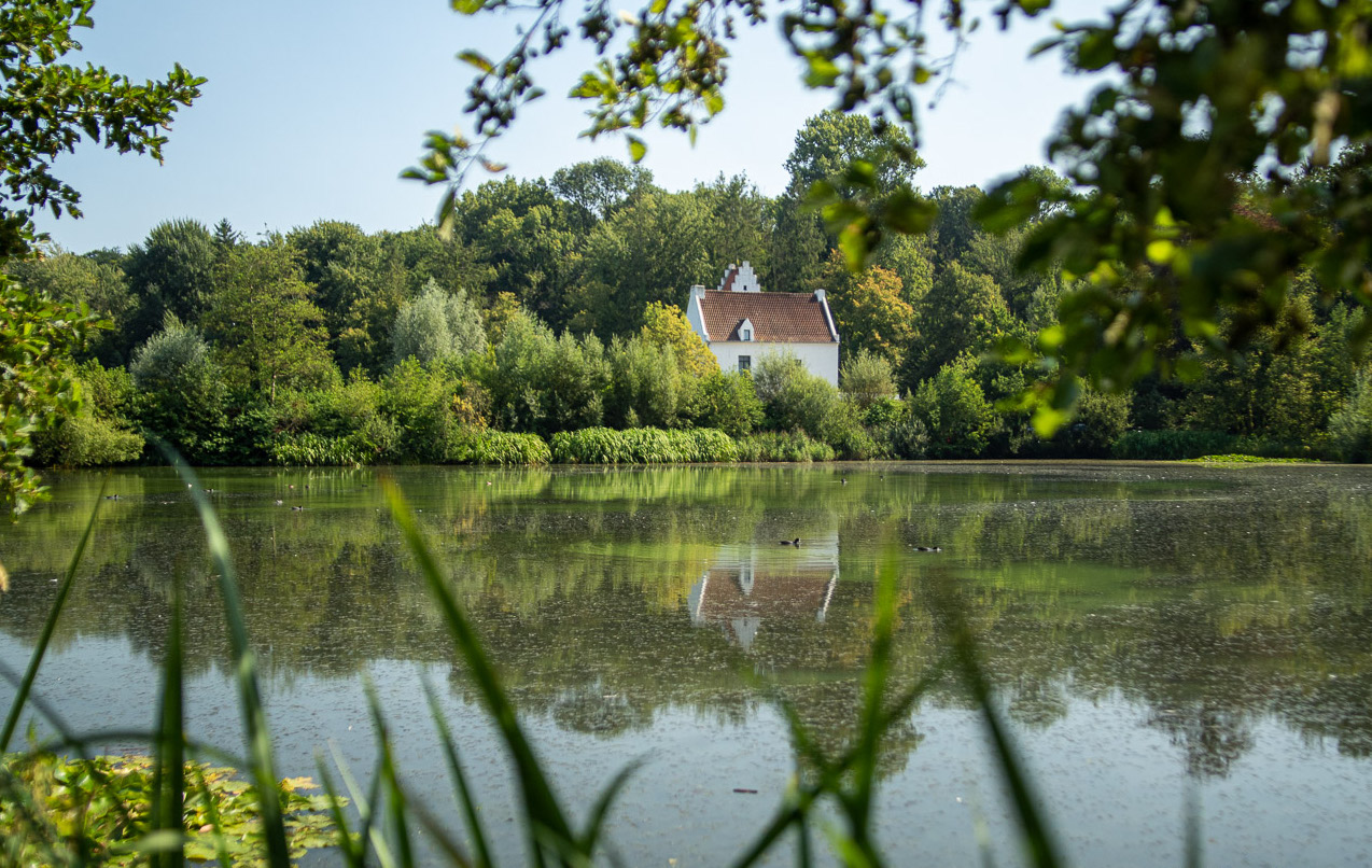
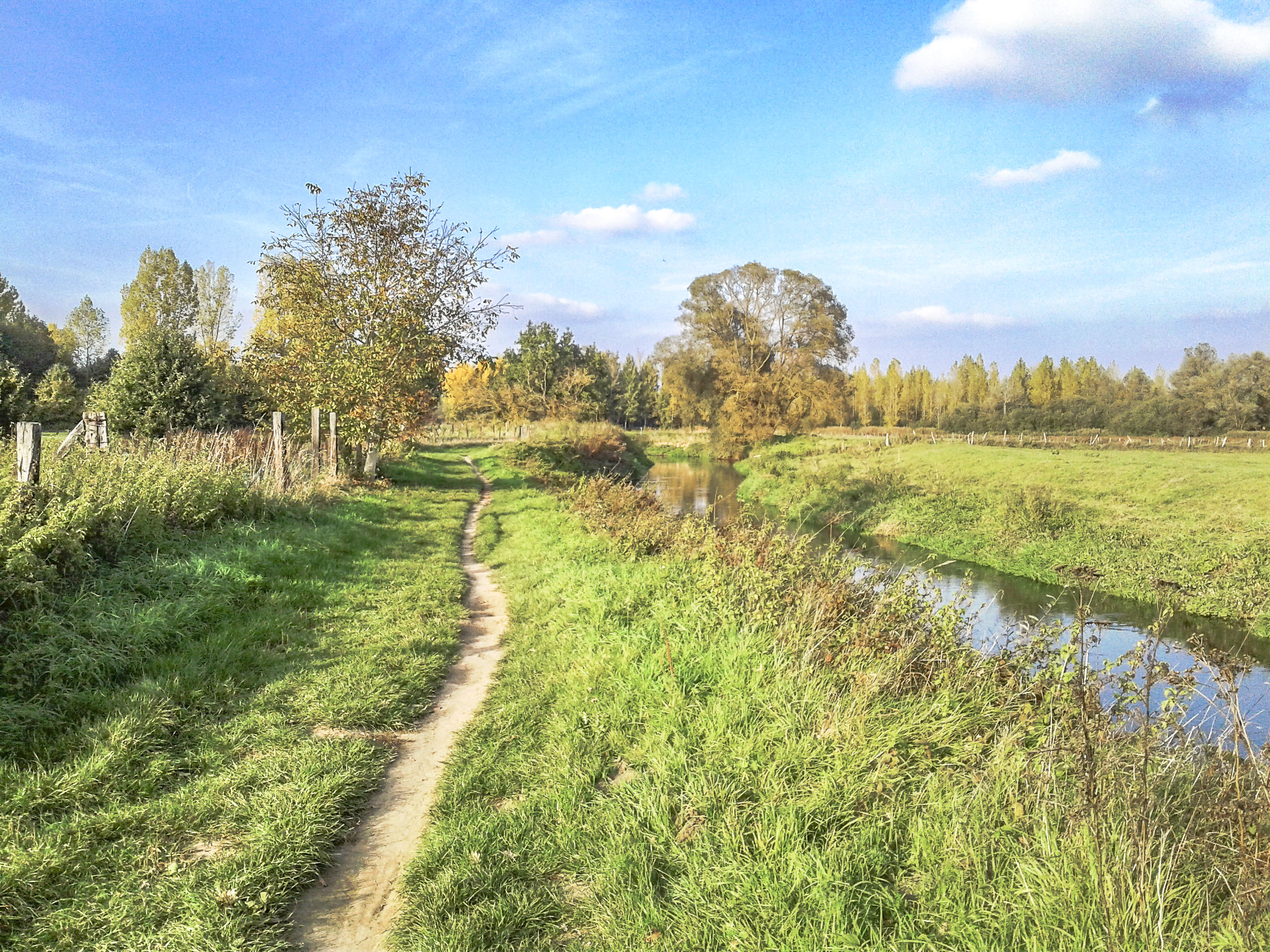
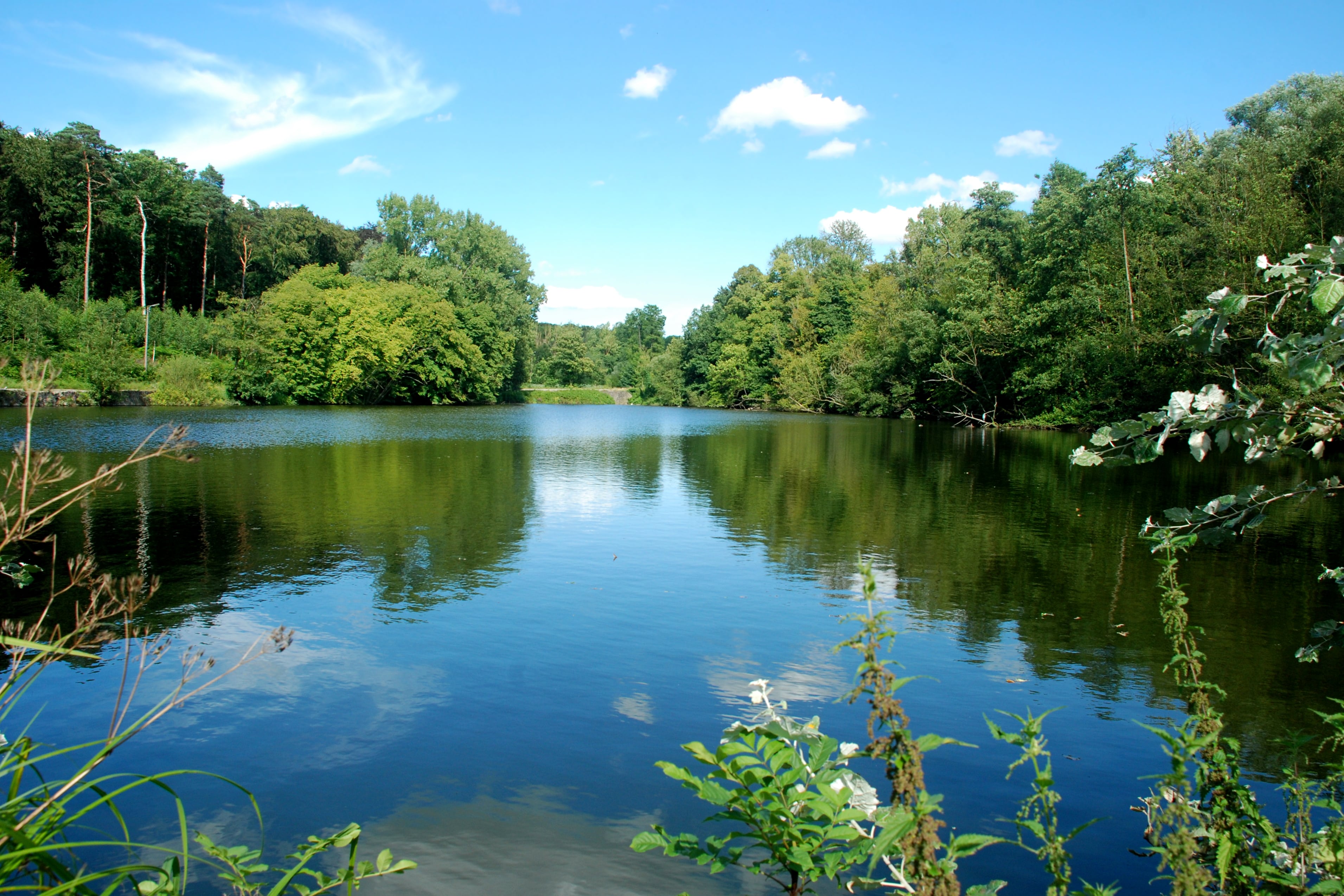
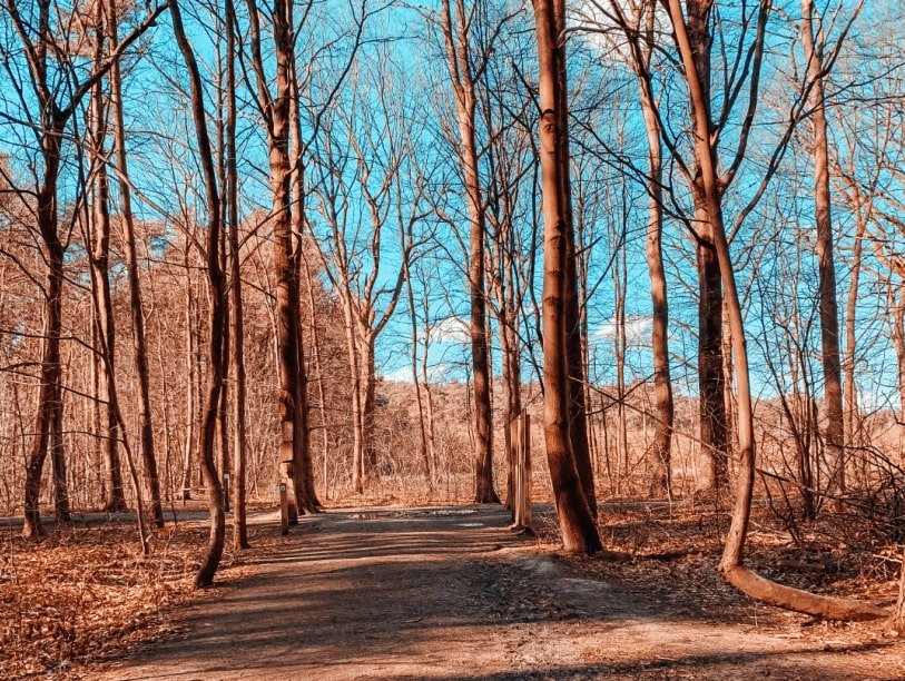
This hike starts near the Sint-Joris-Weert station. The route makes a loop, mainly in the forest, passes through the town of Nethen halfway, before returning to the starting point.

Already more than 200,000 users!
Uphill
176m
Highest point
109m
Downhill
176m
Lowest point
20m
Route type
Loop
Download the map on your smartphone to save battery and rest assured to always keep access to the route, even without signal.
Includes IGN France and Swisstopo.
I indicate whether dogs are allowed or prohibited on this trail
All year
1 rating
Also enjoy:

Already more than 200,000 users!