Uphill
211m
Length
10km
Duration
3h
Elev gain
211m
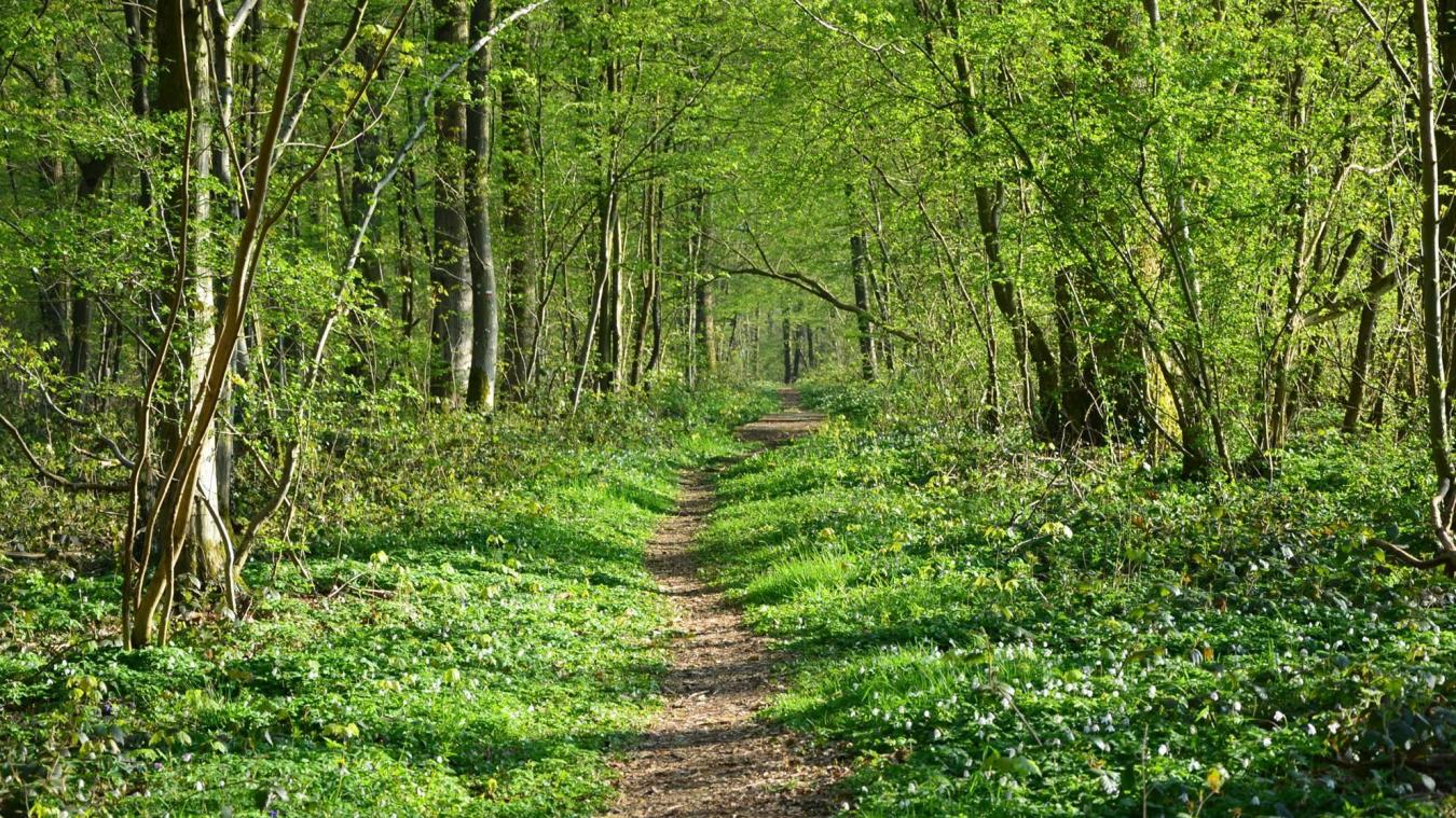
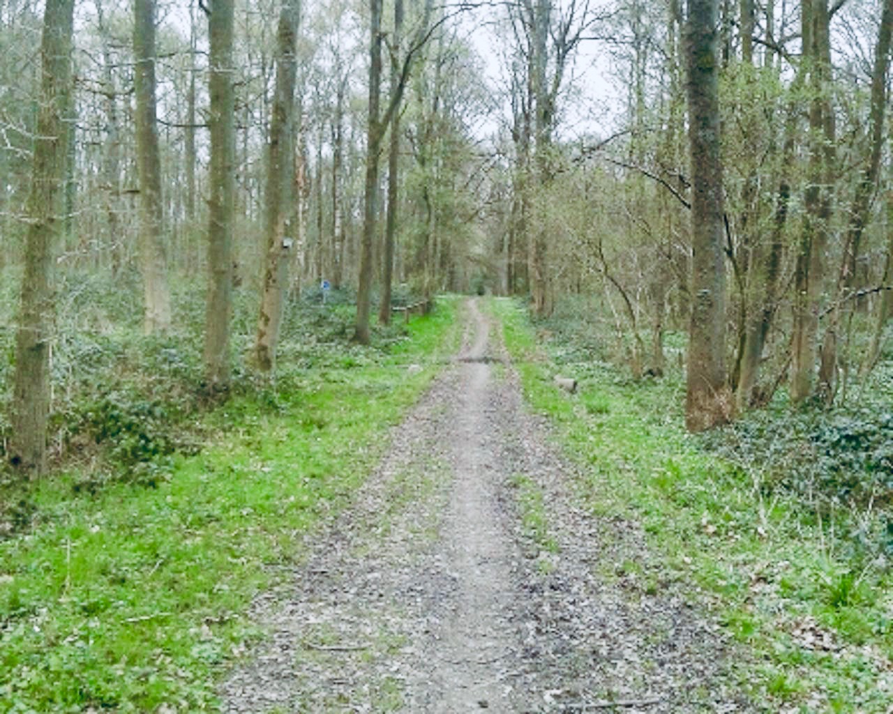
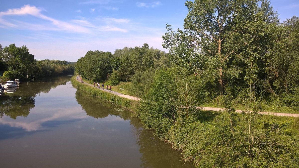
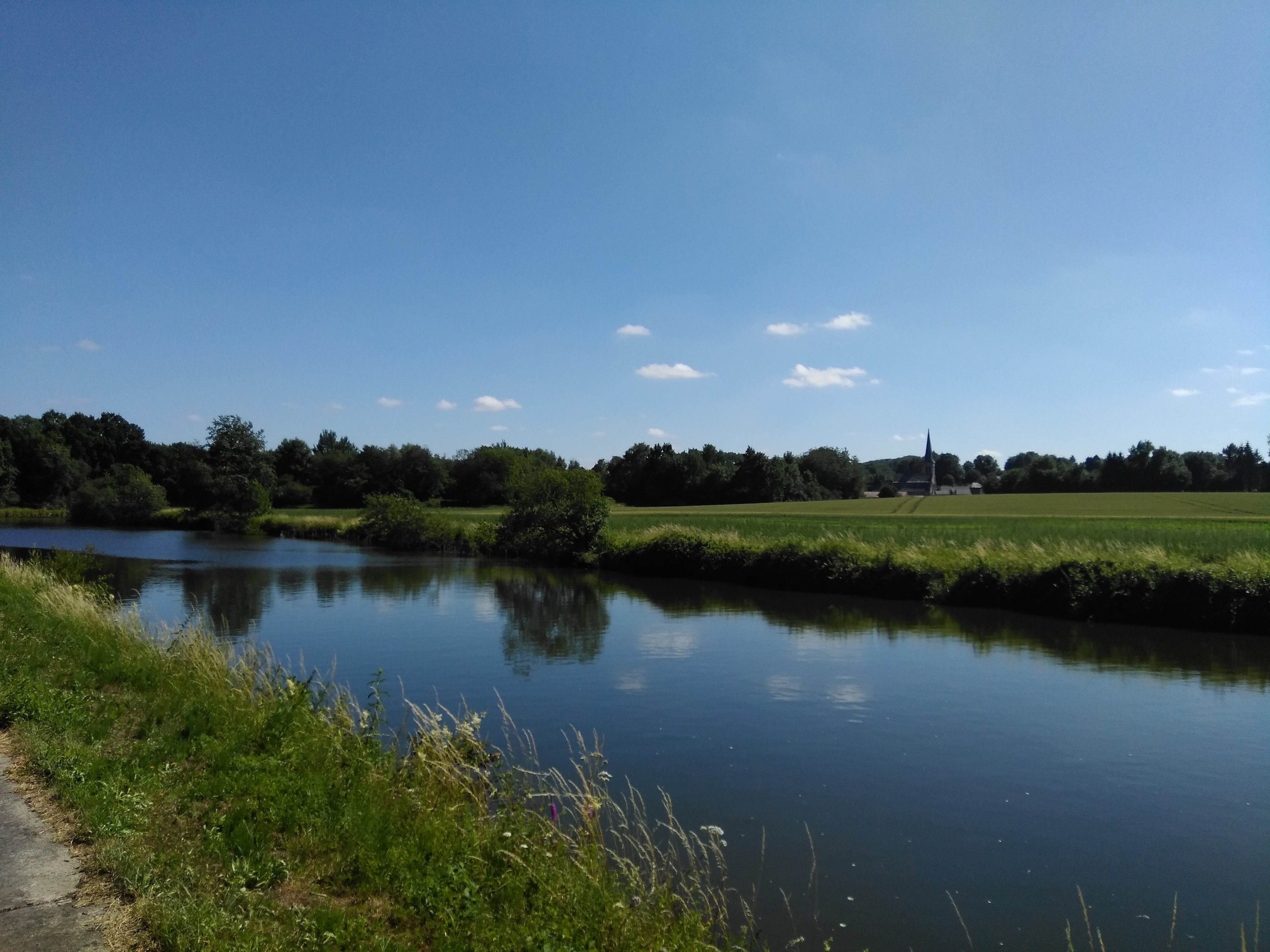
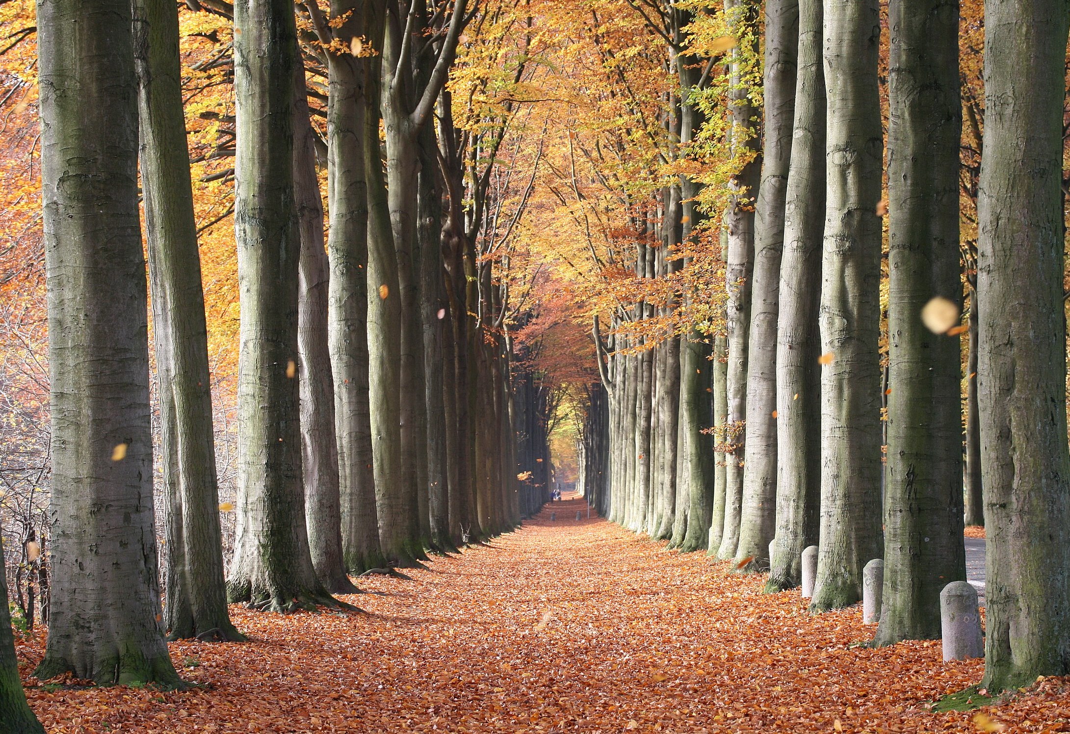
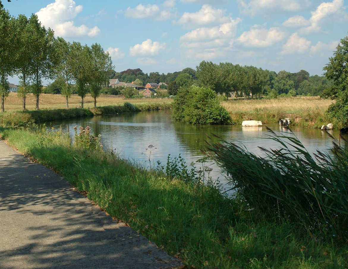
Taking place between Thuin and Hourpes, this hike makes a beautiful loop between forest and river. On the outward journey, the path passes by the Waibes hill, offering a beautiful view of Thuin and the Sambre, then ends up joining Hourpes through the forest. On the way back, the path runs along the Sambre, meeting several locks.

Already more than 200,000 users!
Uphill
211m
Highest point
199m
Downhill
211m
Lowest point
92m
Route type
Loop
Download the map on your smartphone to save battery and rest assured to always keep access to the route, even without signal.
Includes IGN France and Swisstopo.
Parking at the start of the hike.
Gare de Thuin near the start, and Gare d'Hourpes halfway through.
I indicate whether dogs are allowed or prohibited on this trail
All year
2 ratings
Also enjoy:

Already more than 200,000 users!