Uphill
397m
Length
21km
Duration
6h30min
Elev gain
397m
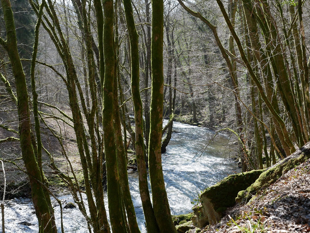
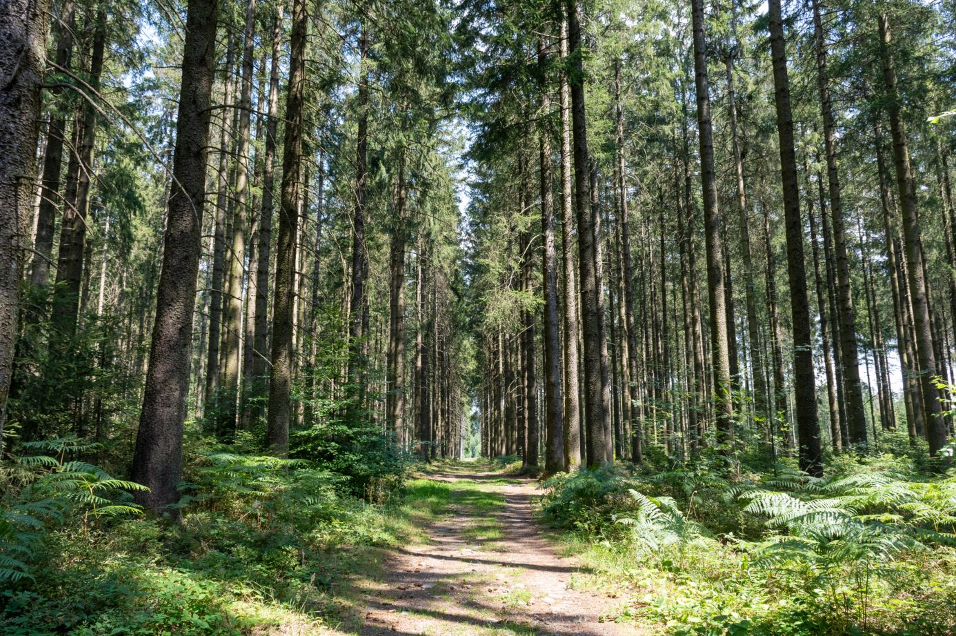
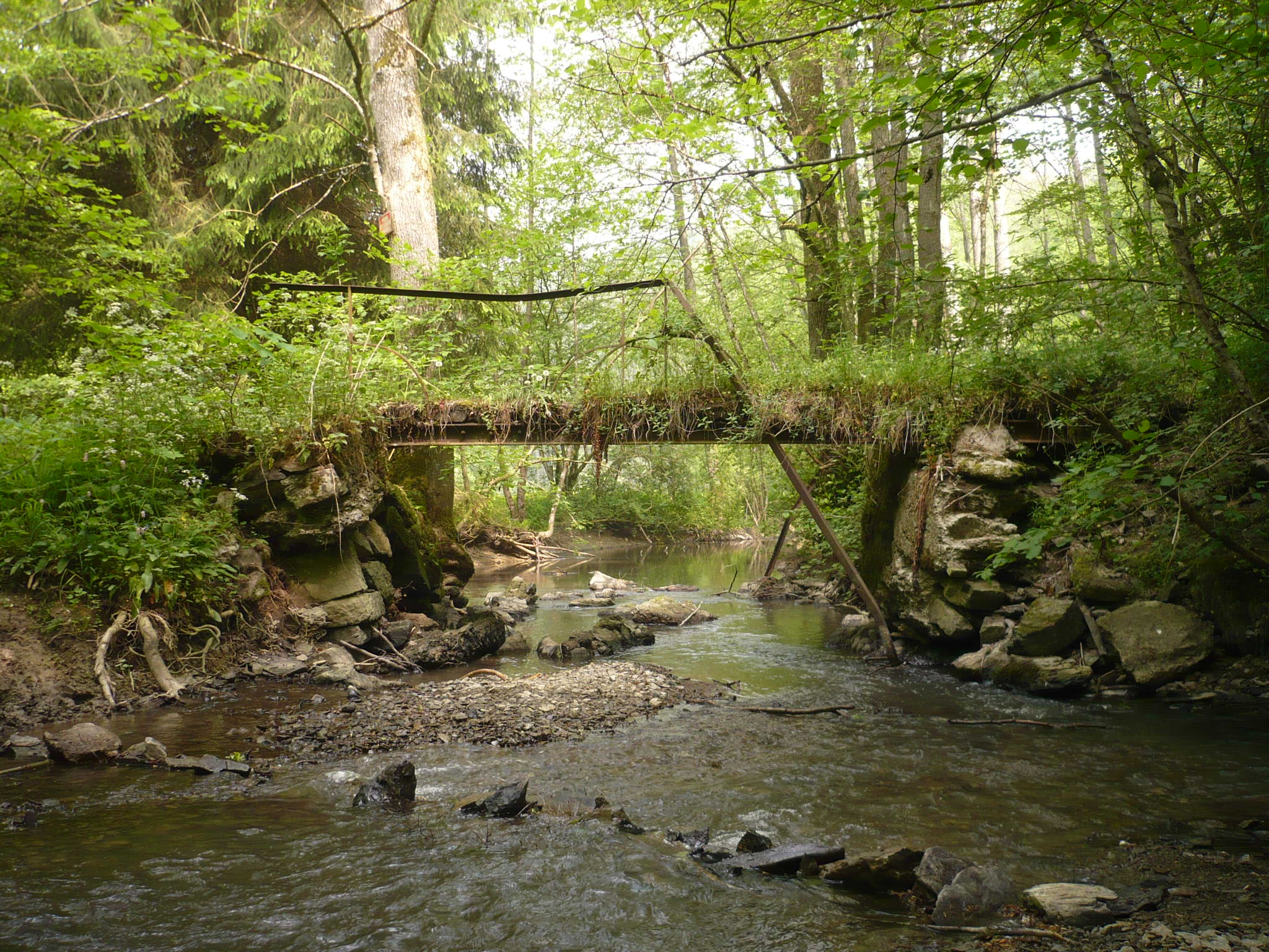
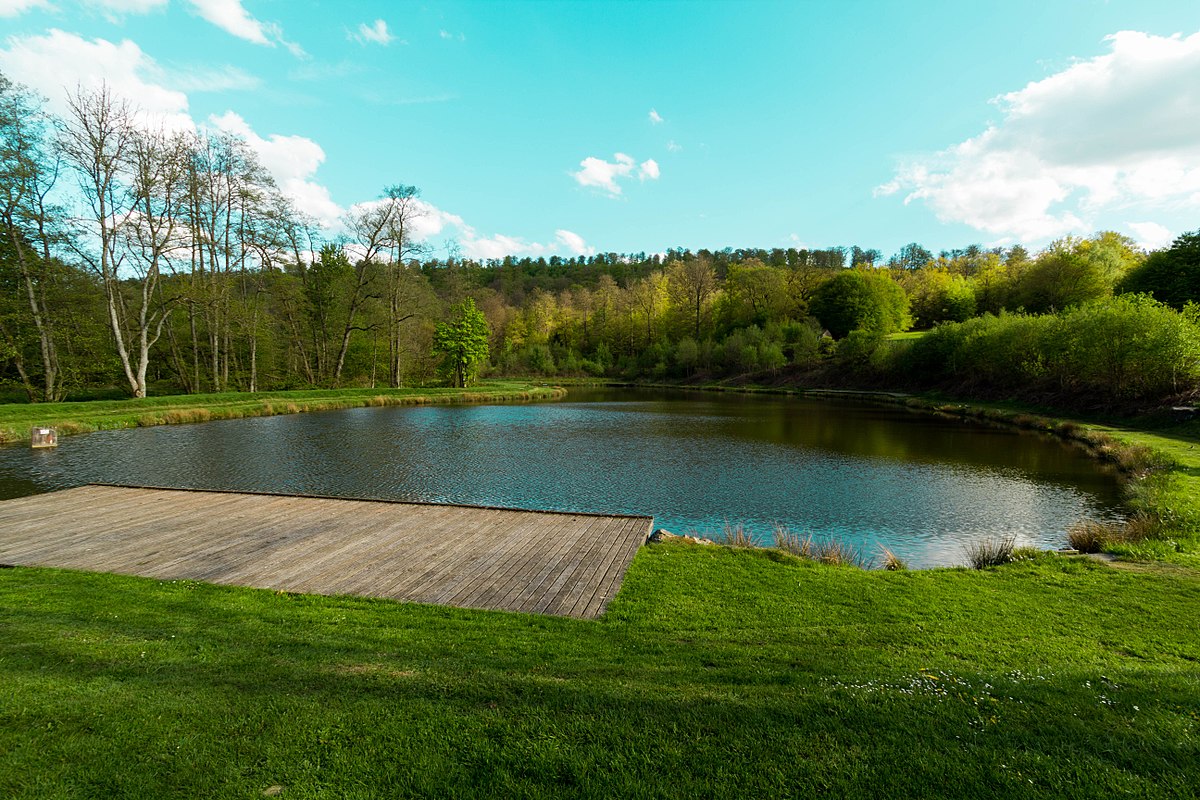
Beautiful and long walk around Mirwart and its old watermill. The route makes a loop on a well laid out path and always near the water, in a calm and peaceful nature. On the way back, the route passes close to the Château de Mirwart before returning to the starting point.

Already more than 200,000 users!
Uphill
397m
Highest point
411m
Downhill
397m
Lowest point
245m
Route type
Loop
Download the map on your smartphone to save battery and rest assured to always keep access to the route, even without signal.
Includes IGN France and Swisstopo.
I indicate whether dogs are allowed or prohibited on this trail
All year
0 ratings
Also enjoy:

Already more than 200,000 users!