Uphill
338m
Length
9km
Duration
3h
Elev gain
338m
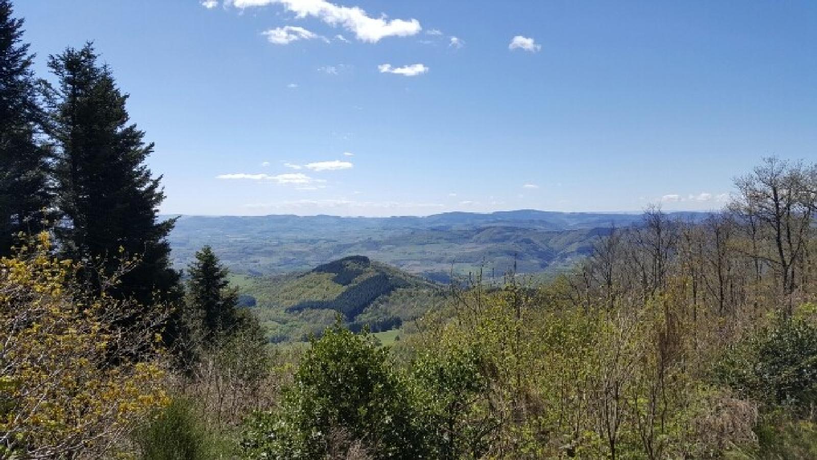
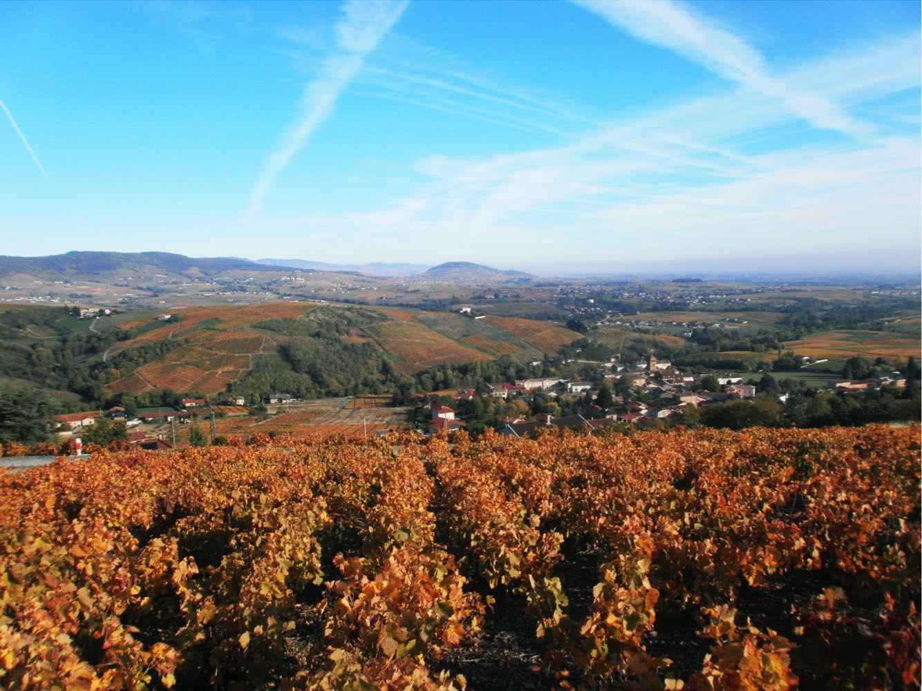
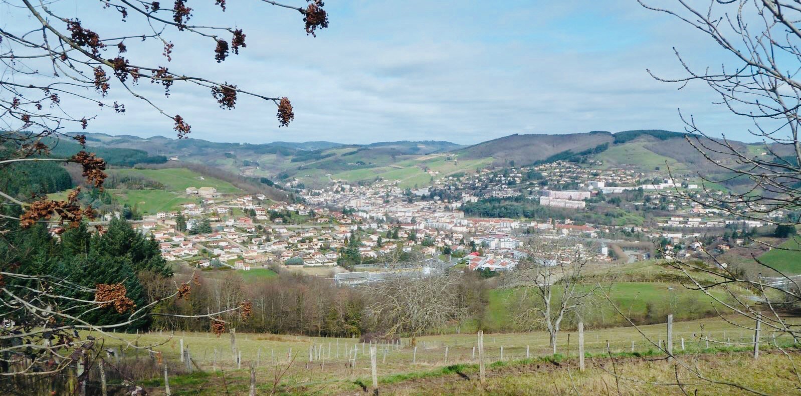
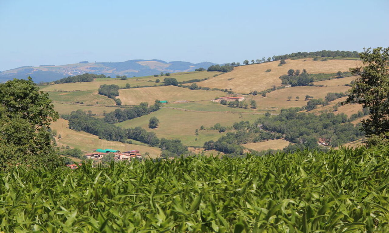
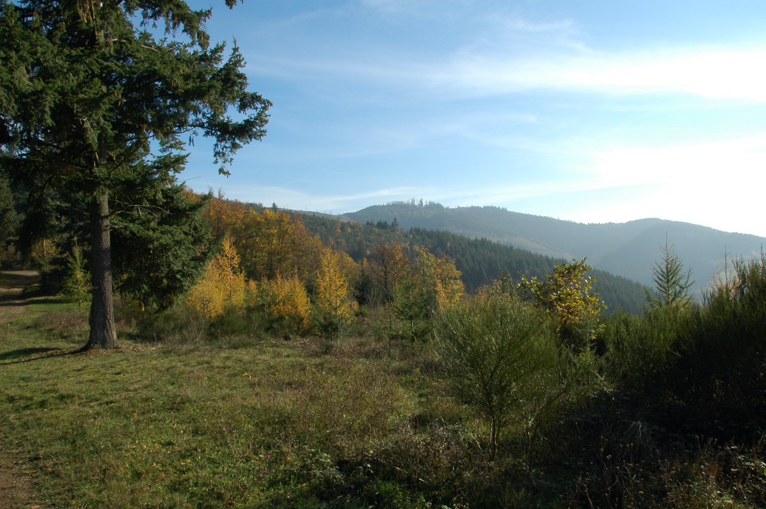
From the Col du Châtoux, here is a loop trail on the ridges, offering beautiful views of the surroundings. In particular, you can admire the Saône valley and Beaujolais to the east, and the Azergues valley to the west.

Already more than 200,000 users!
Uphill
338m
Highest point
838m
Downhill
338m
Lowest point
645m
Route type
Loop
Download the map on your smartphone to save battery and rest assured to always keep access to the route, even without signal.
Includes IGN France and Swisstopo.
I indicate whether dogs are allowed or prohibited on this trail
All year
3 ratings
Also enjoy:

Already more than 200,000 users!