Uphill
62m
Length
3km
Duration
1h
Elev gain
62m
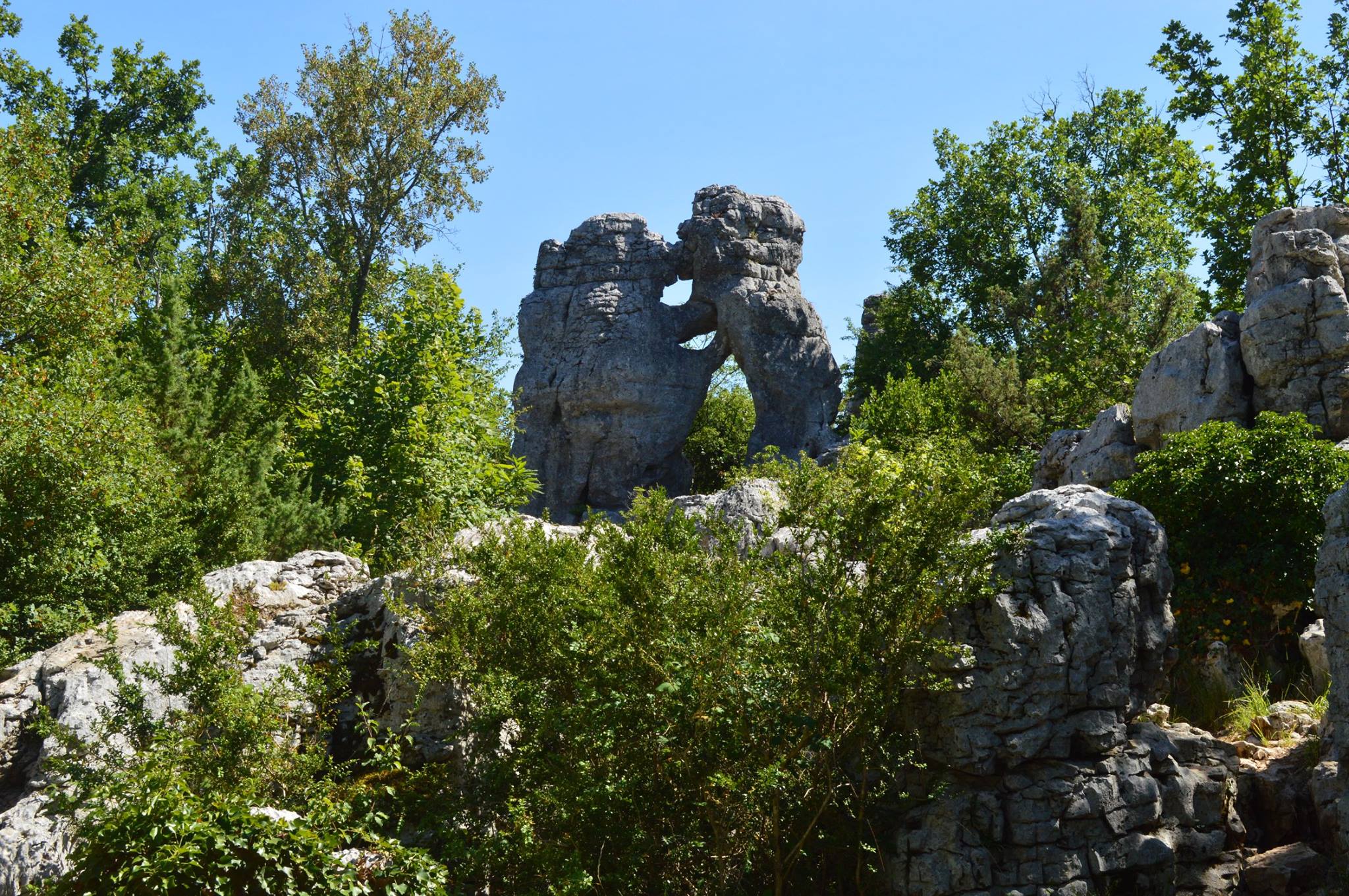
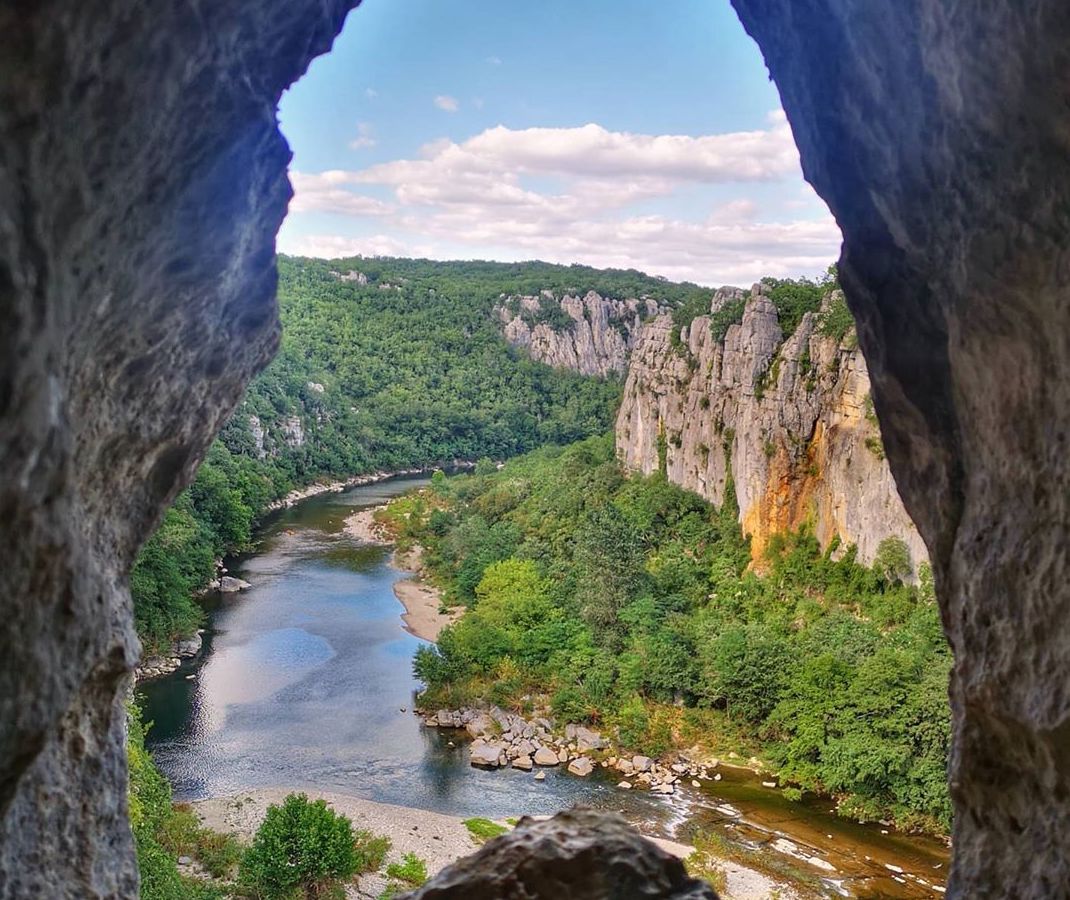
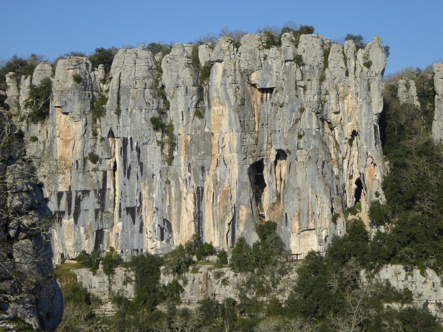
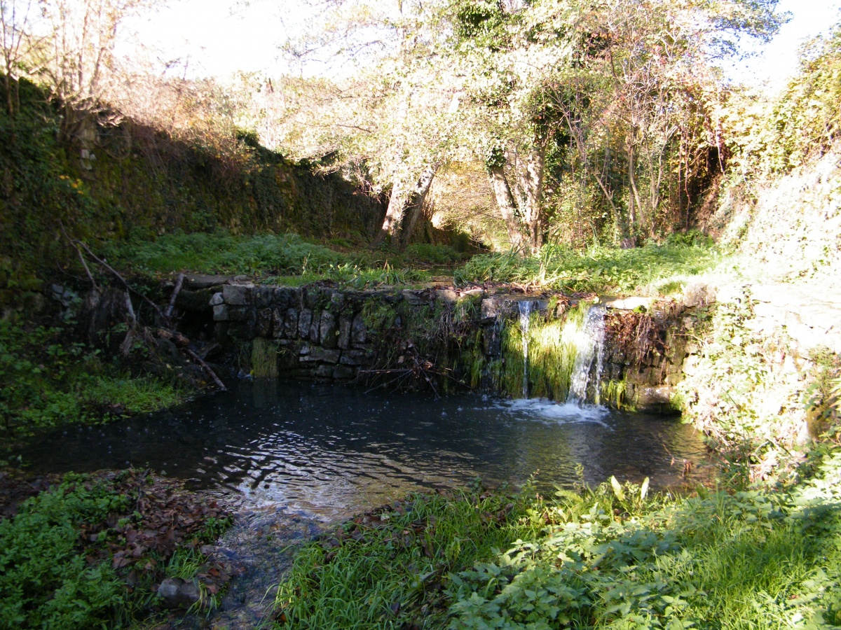
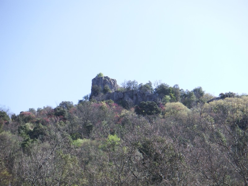
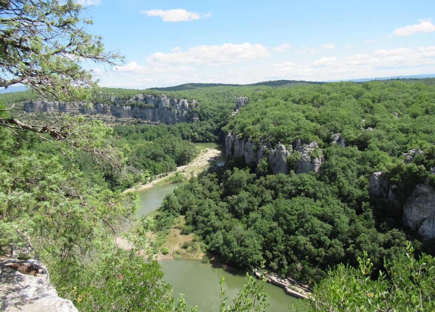
This route makes a nice loop in the heart of the woods of Païolive, a magical forest, and also offers many viewpoints on the Chassezac.

Already more than 200,000 users!
Uphill
62m
Highest point
232m
Downhill
62m
Lowest point
187m
Route type
Loop
Download the map on your smartphone to save battery and rest assured to always keep access to the route, even without signal.
Includes IGN France and Swisstopo.
I indicate whether dogs are allowed or prohibited on this trail
All year
0 ratings
Also enjoy:

Already more than 200,000 users!