Uphill
282m
Length
8km
Duration
3h
Elev gain
282m
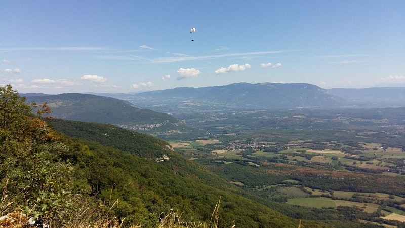
This loop passing through the passes of Grand Perthuis offers a superb panorama of the Alps, the Massif Central and the Jura.

Already more than 200,000 users!
Uphill
282m
Highest point
1153m
Downhill
282m
Lowest point
877m
Route type
Loop
Download the map on your smartphone to save battery and rest assured to always keep access to the route, even without signal.
Includes IGN France and Swisstopo.
I indicate whether dogs are allowed or prohibited on this trail
Can be difficult in Winter
1 rating
Also enjoy:

Already more than 200,000 users!


