Uphill
64m
France > Auvergne-Rhône-Alpes > Puy-de-Dôme > Volcans d'Auvergne Regional Natural Park
Length
3km
Duration
1h
Elev gain
64m
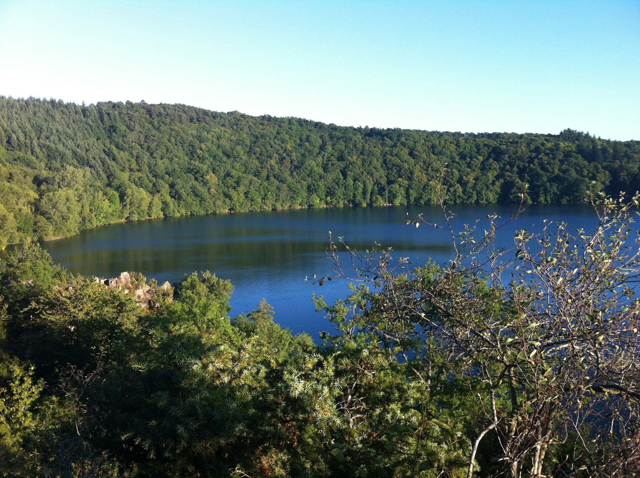
Family walk around the Gour de Tazenat, a lake of volcanic origin. The path alternates between sun and shade. In this peaceful setting, it is possible to swim and picnic.

Already more than 200,000 users!
Uphill
64m
Highest point
668m
Downhill
64m
Lowest point
626m
Route type
Loop
Download the map on your smartphone to save battery and rest assured to always keep access to the route, even without signal.
Includes IGN France and Swisstopo.
I indicate whether dogs are allowed or prohibited on this trail
All year
1 rating
Also enjoy:

Already more than 200,000 users!


