Uphill
246m
Length
7km
Duration
2h30min
Elev gain
246m
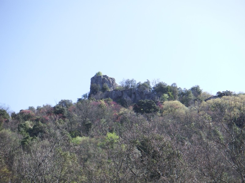
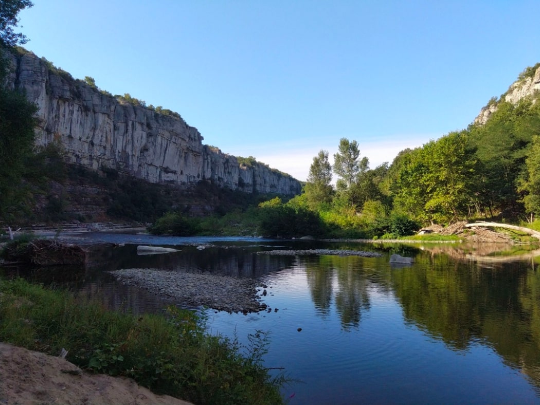
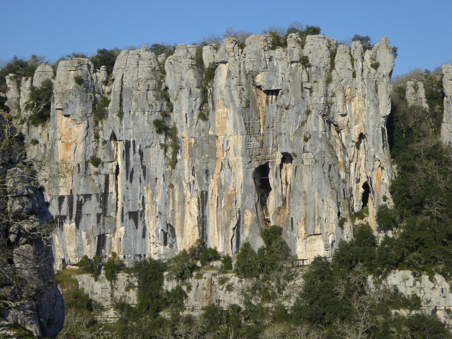
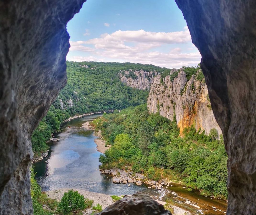
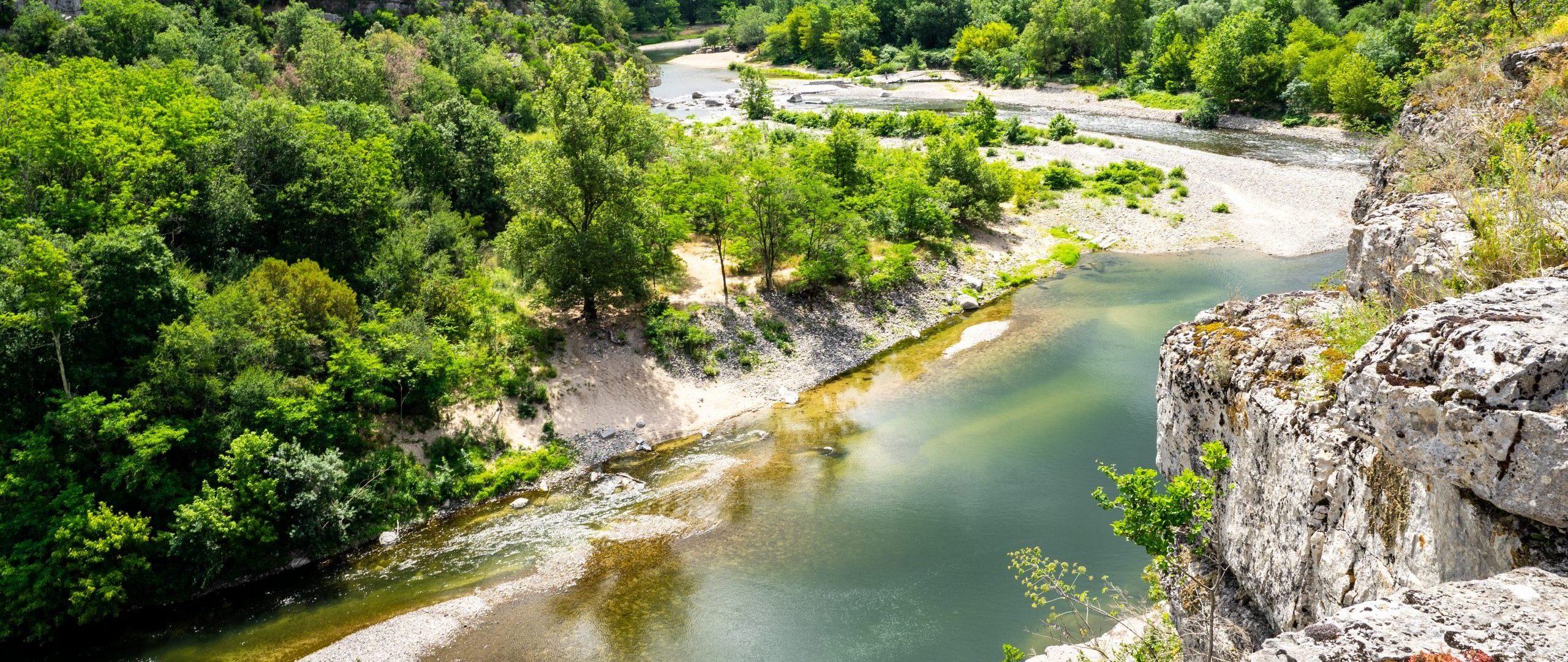
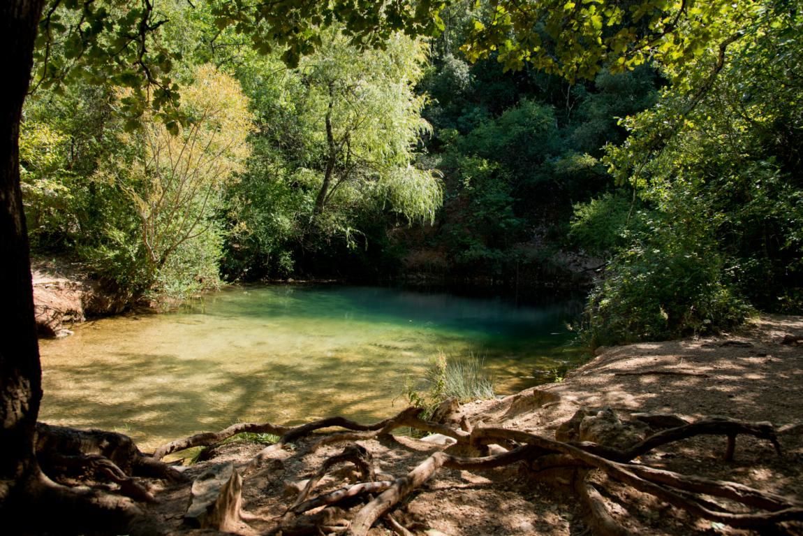
Starting from the village of Grospierres, this hike makes a nice loop on the heights. The path, rather stony, offers many points of view on the village and its surroundings, while the river brings softness and charm to this outing.

Already more than 200,000 users!
Uphill
246m
Highest point
264m
Downhill
246m
Lowest point
128m
Route type
Loop
Download the map on your smartphone to save battery and rest assured to always keep access to the route, even without signal.
Includes IGN France and Swisstopo.
I indicate whether dogs are allowed or prohibited on this trail
All year
3 ratings
Also enjoy:

Already more than 200,000 users!