Uphill
693m
Length
12km
Duration
5h
Elev gain
693m
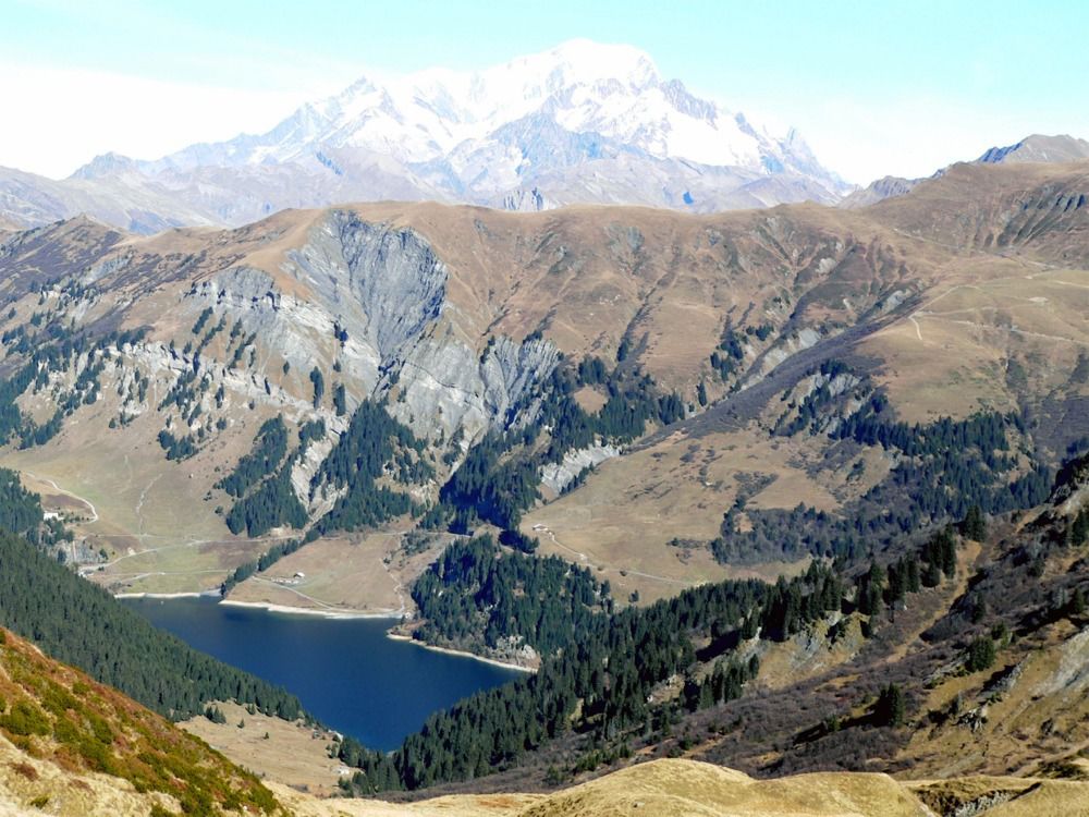
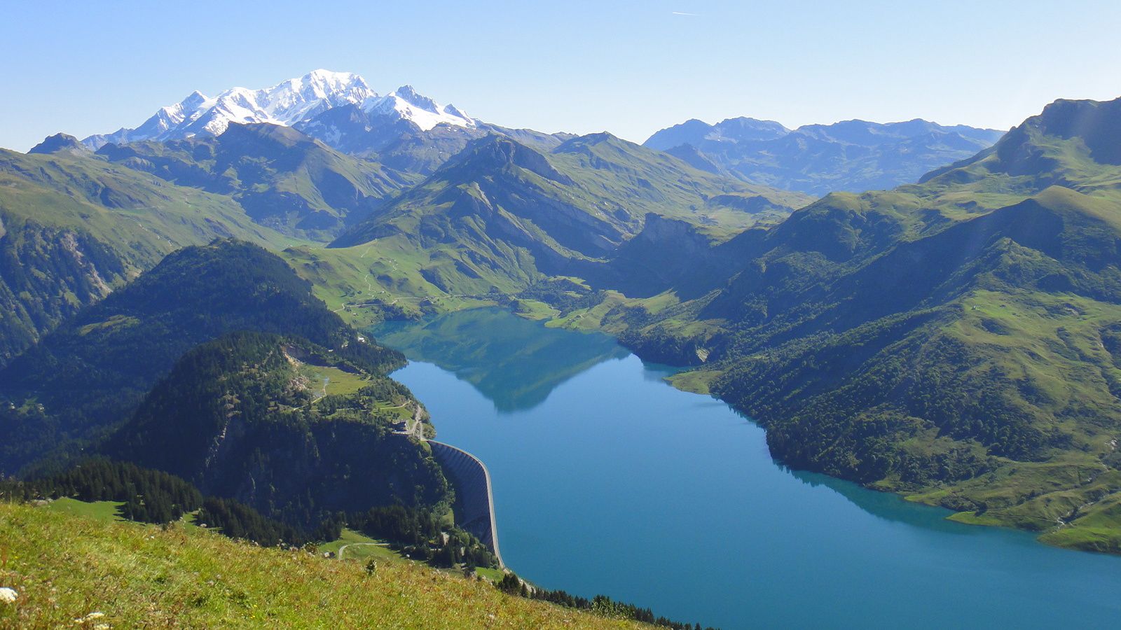
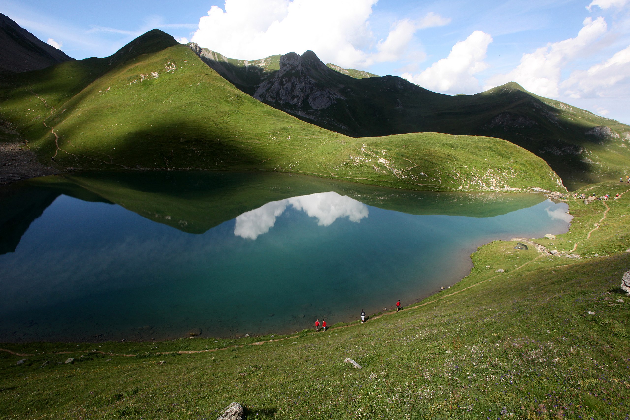
Round trip to the Tempête lakes, with several stream crossings and views of Mont Blanc.

Already more than 200,000 users!
Uphill
693m
Highest point
2167m
Downhill
693m
Lowest point
1542m
Route type
There and back
Download the map on your smartphone to save battery and rest assured to always keep access to the route, even without signal.
Includes IGN France and Swisstopo.
I indicate whether dogs are allowed or prohibited on this trail
From May to September
2 ratings
Also enjoy:

Already more than 200,000 users!