Uphill
173m
France > Auvergne-Rhône-Alpes > Puy-de-Dôme > Volcans d'Auvergne Regional Natural Park
Length
5km
Duration
2h
Elev gain
173m
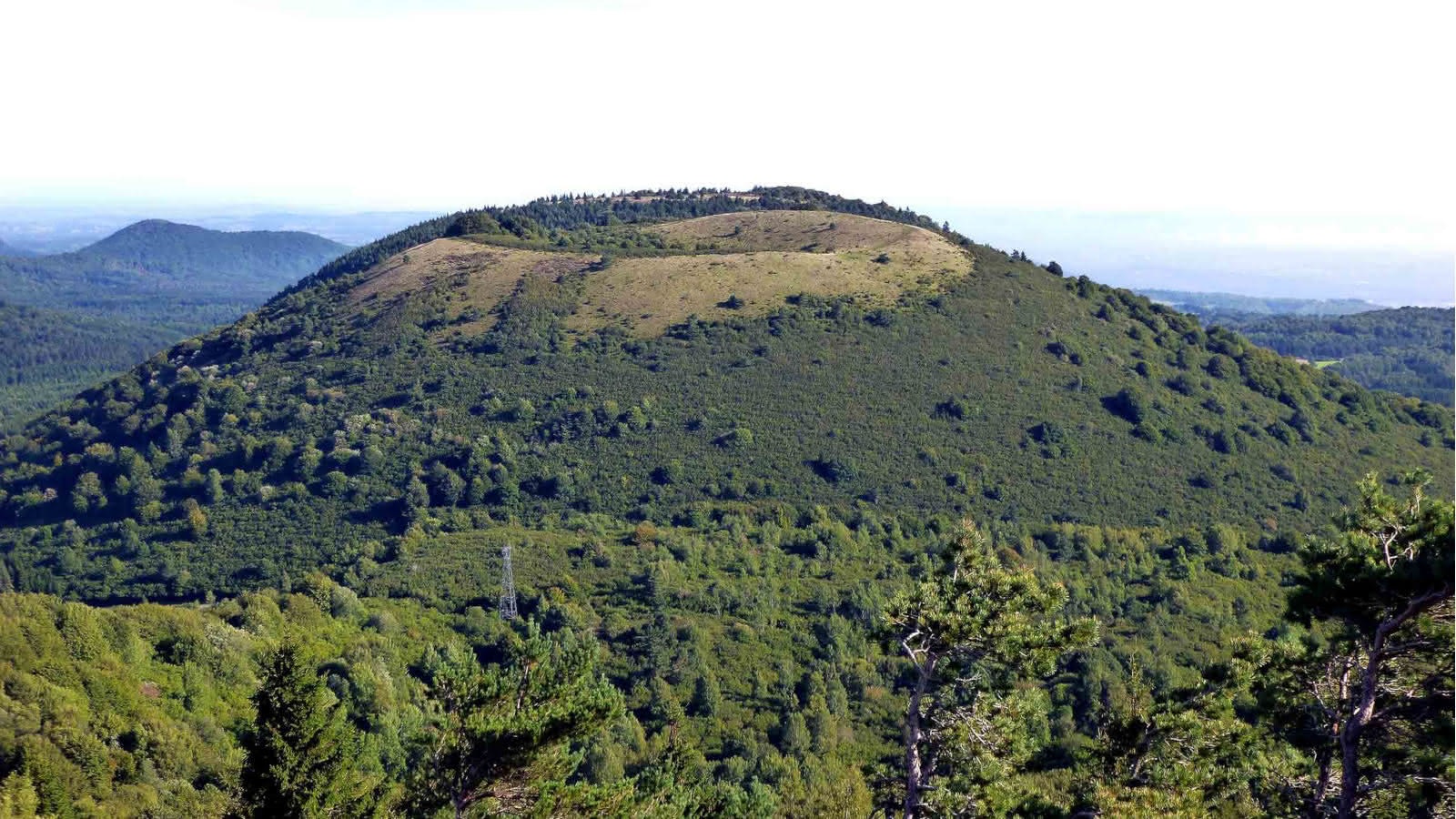
Very nice hike around the Puy des Goules, culminating at 1,146 meters above sea level. After a fairly steep climb, the view at the top is magnificent. The chain of Puys, the Grand Sarcoui as well as the puy du Dôme can be observed.
The trail also passes through the pretty Sarcoui cave, which is however closed.

Already more than 200,000 users!
Uphill
173m
Highest point
1137m
Downhill
173m
Lowest point
972m
Route type
Loop
Download the map on your smartphone to save battery and rest assured to always keep access to the route, even without signal.
Includes IGN France and Swisstopo.
I indicate whether dogs are allowed or prohibited on this trail
Can be difficult in Winter
2 ratings
Also enjoy:

Already more than 200,000 users!


