Uphill
258m
France > Auvergne-Rhône-Alpes > Cantal > Volcans d'Auvergne Regional Natural Park
Length
5km
Duration
2h
Elev gain
258m
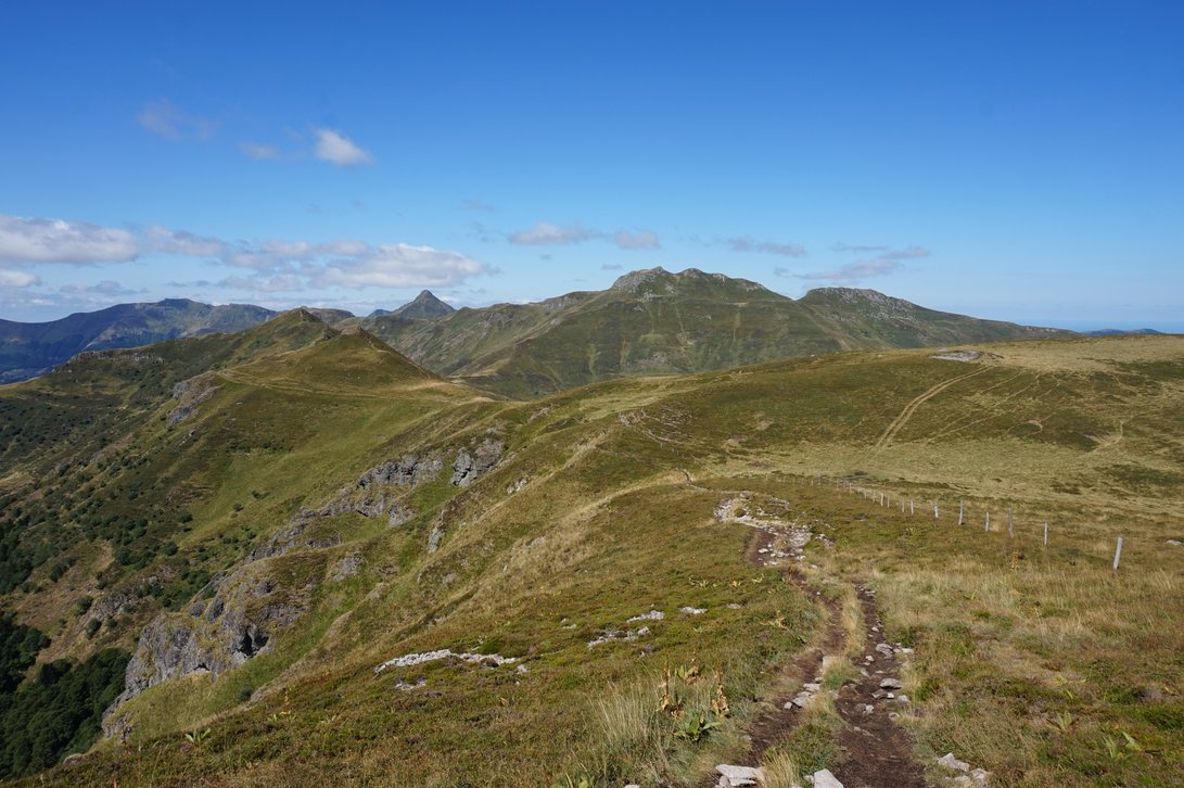
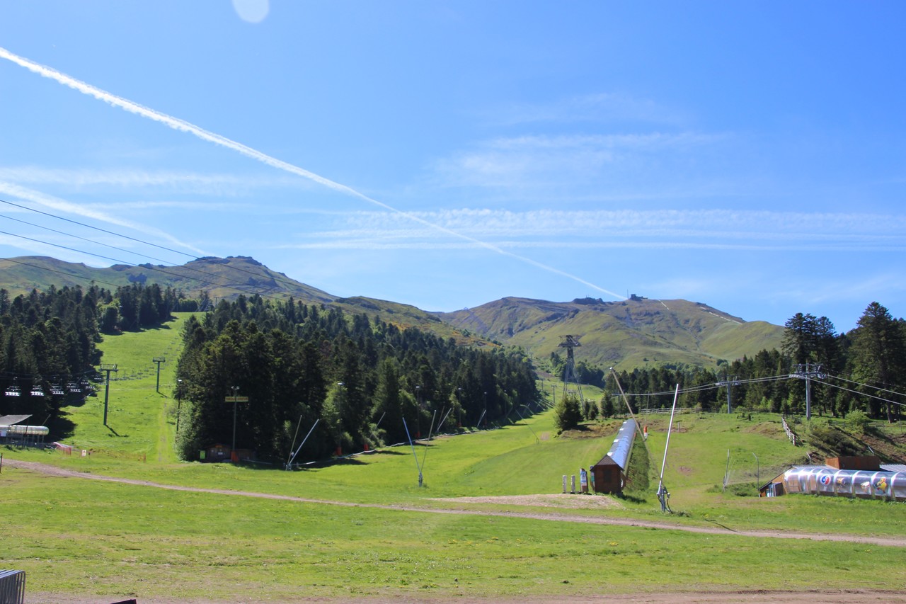
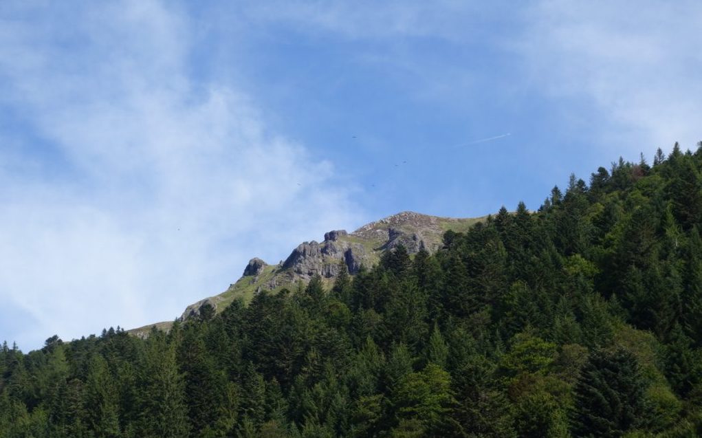
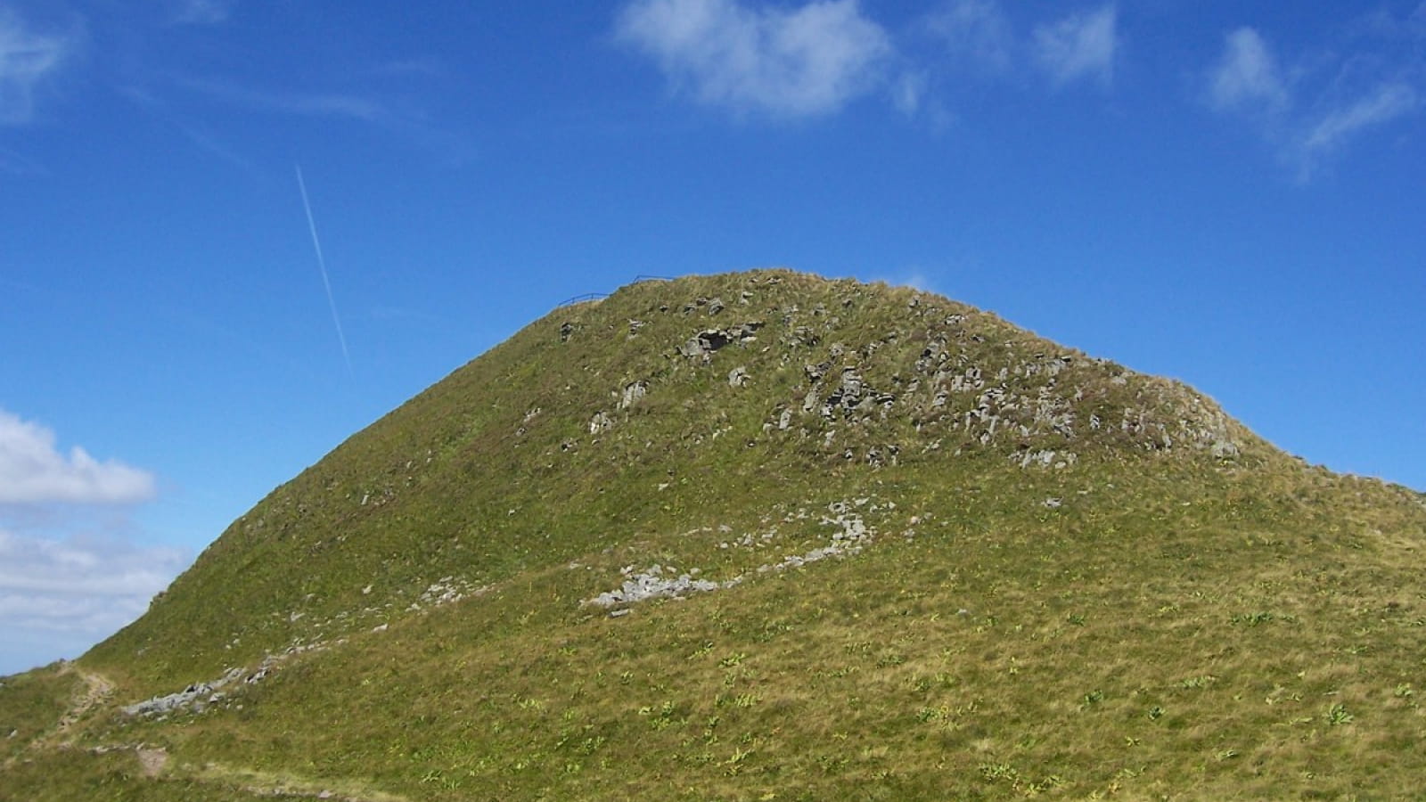
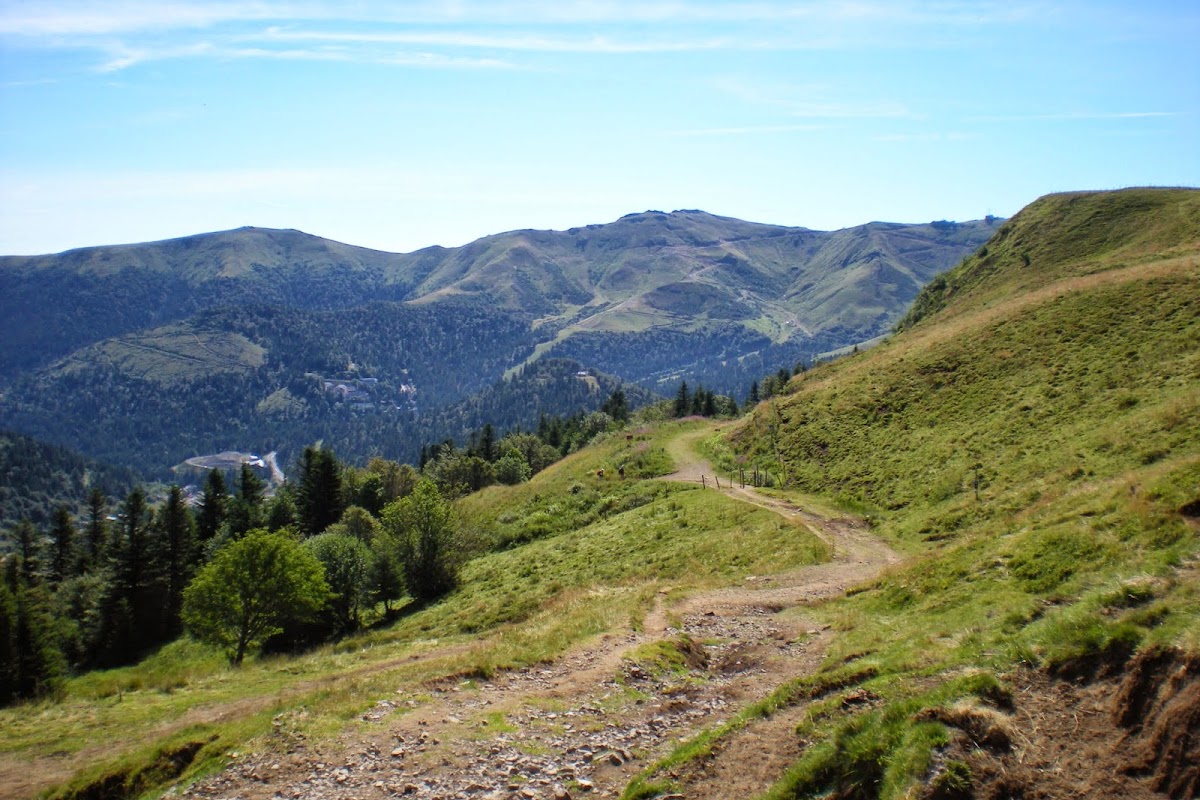
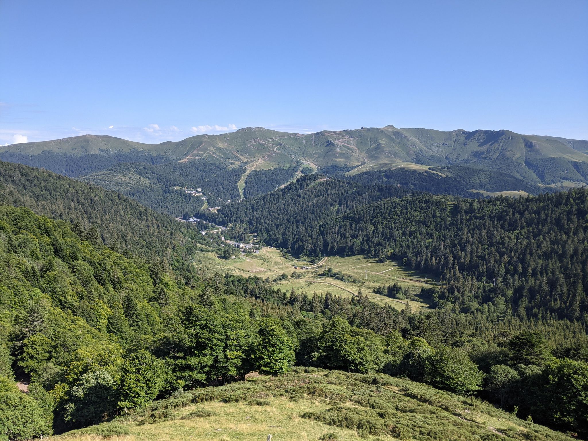
Hike in the heart of the Alagnon valley, departing from Font d'Alagnon. The route makes a loop and goes up to the refuge of Meije Costes, where the view of the surrounding mountains is very beautiful.

Already more than 200,000 users!
Uphill
258m
Highest point
1445m
Downhill
258m
Lowest point
1192m
Route type
Loop
Download the map on your smartphone to save battery and rest assured to always keep access to the route, even without signal.
Includes IGN France and Swisstopo.
I indicate whether dogs are allowed or prohibited on this trail
Can be difficult in Winter
0 ratings
Also enjoy:

Already more than 200,000 users!